Cobalt in Timiskaming District, Ontario — Central Canada (North America)
The T & NO Railway / Le service ferroviaire T & NO
— Heritage Silver Trail —
Inscription.
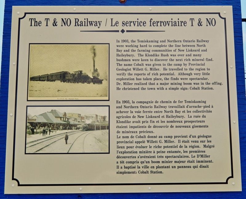
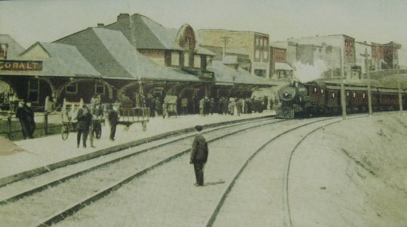
Le nom de Cobalt donné au camp provient d'un géologue provincial appelé Willett G. Miller. Il était venu sur les lieux pour évaluer le riche potentiel de la région. Malgré l'exploration minière à peine entamée, les premières découvertes s'avéraient très spectaculaires. Le D'Miller a tôt compris qu'un boom minier majeur était imminent. Il a baptisé la ville en plantant un panneau qui disait simplement: Cobalt Station.
Erected by Cobalt Historical Society.
Topics. This historical marker is listed in these topic lists: Industry & Commerce • Railroads & Streetcars • Settlements & Settlers. A significant historical year for this entry is 1903.
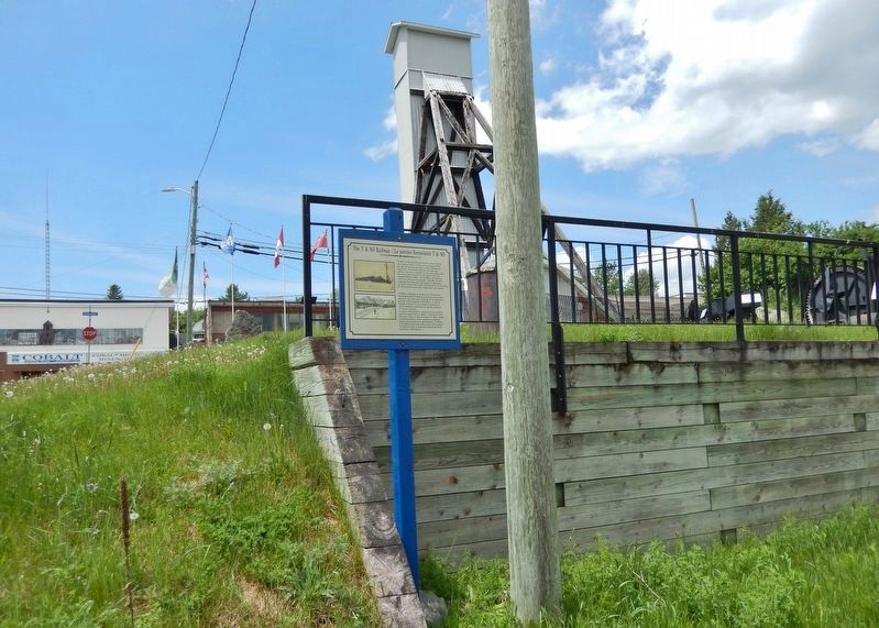
Location. 47° 23.723′ N, 79° 41.113′ W. Marker is in Cobalt, Ontario, in Timiskaming District. Marker is at the intersection of Presley Street and Bunker Lane, on the right when traveling south on Presley Street. The marker is located beside the retaining wall at the northwest corner of the intersection. Touch for map. Marker is in this post office area: Cobalt ON P0J 1C0, Canada. Touch for directions.
Other nearby markers. At least 8 other markers are within walking distance of this marker. Centennial Time Capsule (a few steps from this marker); Battery Tramming Motor (a few steps from this marker); Willet Green Miller (a few steps from this marker); Side Dump Cars (a few steps from this marker); Mucking Machine or Overshot Loader (within shouting distance of this marker); Bar and Arm Drill (within shouting distance of this marker); Tripod Drill (within shouting distance of this marker); Silver Mining in Canada / Production de L'argent au Canada (within shouting distance of this marker). Touch for a list and map of all markers in Cobalt.
Related markers. Click here for a list of markers that are related to this marker. Heritage Silver Trail
Also see . . . Temiskaming and Northern Ontario Railway (1902–46) (Wikipedia). Excerpt:
The Temiskaming and Northern Ontario Railway was incorporated on 17 March 1902, by the Temiskaming and Northern Ontario Railway Act of the Ontario parliament. The railway was to be a provincial Crown corporation overseen by the Temiskaming and Northern Ontario Railway Commission. Construction on the railway started in 1903, and the settlement of Redwater in the municipality of Temagami began as a small request stop when the railway reached the area of the Lower and Upper Redwater Lakes. As it passed by Long Lake, near the 103 mile marker, the largest silver rush in Canada was sparked by workers looking for trees for railway ties. The town of Cobalt grew out of the fortunes of silver taken from the grounds.
(Submitted on April 25, 2024, by Cosmos Mariner of Cape Canaveral, Florida.)
Credits. This page was last revised on April 30, 2024. It was originally submitted on April 25, 2024, by Cosmos Mariner of Cape Canaveral, Florida. This page has been viewed 119 times since then. Photos: 1, 2, 3, 4. submitted on April 25, 2024, by Cosmos Mariner of Cape Canaveral, Florida.


