Troy in Montgomery County, North Carolina — The American South (South Atlantic)
Montgomery County
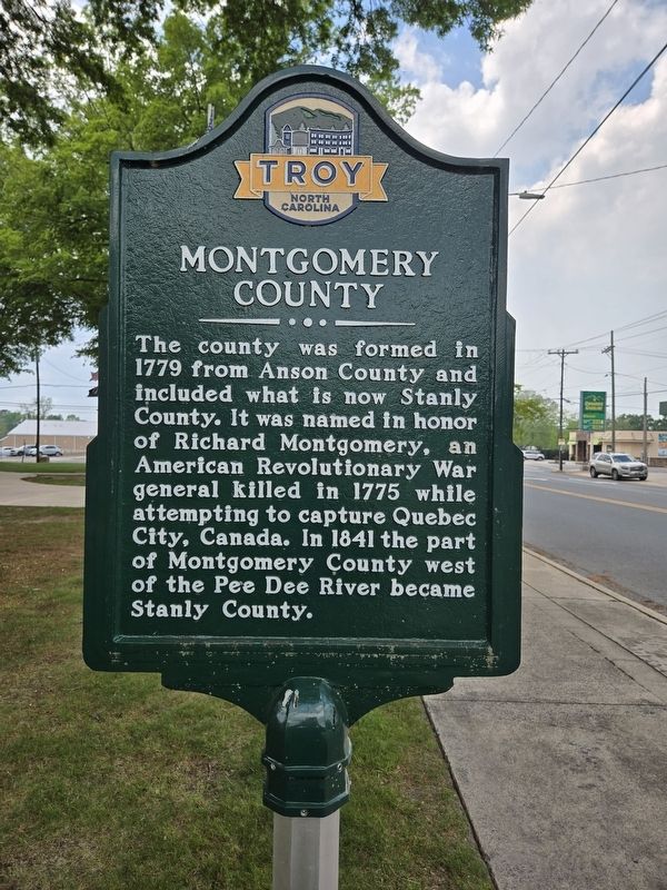
Photographed by Mark Parker, April 19, 2024
1. Montgomery County Marker
Topics. This historical marker is listed in these topic lists: Settlements & Settlers • War, US Revolutionary. A significant historical year for this entry is 1779.
Location. 35° 21.508′ N, 79° 53.582′ W. Marker is in Troy, North Carolina, in Montgomery County. It is at the intersection of East Main Street (Business North Carolina Route 27) and South Pearl Street, on the right when traveling east on East Main Street. Located in front of the Montgomery County Courthouse. Touch for map. Marker is at or near this postal address: 108 E Main St, Troy NC 27371, United States of America. Touch for directions.

Regionally, this marker is in North Carolina’s Piedmont. It is also in the American South and specifically in the Upper South. Globally, it is in North America, the Western Hemisphere, the
this page online
Other nearby markers. At least 8 other markers are within walking distance of this marker: In Memory Of (a few steps from this marker); Dedicated to Montgomery County Veterans (within shouting distance of this marker); Medal of Honor (within shouting distance of this marker); The Home of A. Leon Capel 1900-1972 (within shouting distance of this marker); Wife of the Sheriff of Mayberry (within shouting distance of this marker); Uwharrie National Forest (about 300 feet away, measured in a direct line); Streets of Gold (approx. 0.2 miles away); Dr. Thompson's Sanatorium (approx. 0.3 miles away). Touch for a list and map of all markers in Troy.
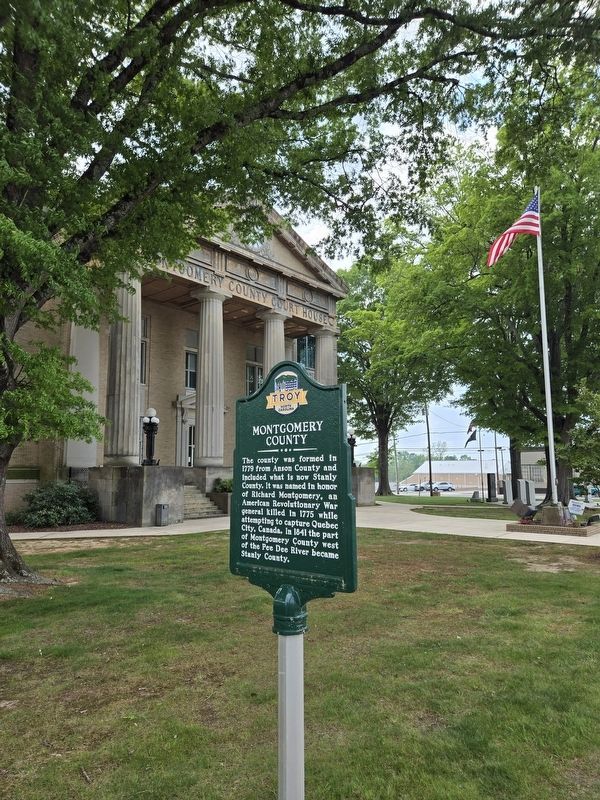
Photographed by Mark Parker, April 19, 2024
2. Montgomery County Marker in front of Montgomery County Courthouse

Photographed by Mark Parker, April 19, 2024
3. Montgomery County Courthouse
Credits. This page was last revised on April 25, 2024. It was originally submitted on April 25, 2024, by Mark Parker of Hickory, North Carolina. This page has been viewed 255 times since then and 60 times this year. Photos: 1, 2, 3. submitted on April 25, 2024, by Mark Parker of Hickory, North Carolina. • Bernard Fisher was the editor who published this page.
