
Victorville in San Bernardino County, California — The American West (Pacific Coastal)
F-4C Phantom II
Photographed by Craig Baker, April 27, 2024
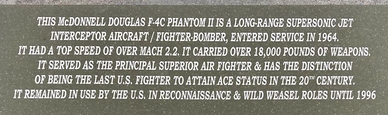
1. F-4C Phantom II Marker
This McDonnell Douglas F-4C Phantom II is a long-range supersonic jet interceptor aircraft/fighter-bomber, entered service in 1964. It had a top speed of over mach 2.2. It carried over 18,000 pounds of weapons. It served as the principal superior air fighter & has the distinction of being the last U.S. fighter to attain ace status in the 20th century. It remained in use by the U.S. in reconnaissance & Wild Weasel roles until 1996.
Topics. This historical marker is listed in these topic lists: Air & Space • Military. A significant historical year for this entry is 1964.
Location. 34° 34.988′ N, 117° 22.63′ W. Marker is in Victorville, California, in San Bernardino County. It is at the intersection of Phantom West and Cargo Lane on Phantom West. Located at Southern California Logistics Airport. Touch for map. Marker is at or near this postal address: 18260 Phantom West, Victorville CA 92394, United States of America. Touch for directions.

Regionally, this marker is in Greater Los Angeles, in the Peninsular Ranges, and specifically in the Transverse Ranges. It is also in the American Southwest. Globally,
this page online
Other nearby markers. At least 8 other markers are within 6 miles of this marker, measured as the crow flies: George Air Force Base (approx. 0.3 miles away); Mojave River Crossing (approx. 2.4 miles away); Lane's Crossing (approx. 2.4 miles away); a different marker also named Oro Grande Cemetery (approx. 2.9 miles away); Lt. Manuel P. Rodriguez Memorial/El Monumento al Teniente Manuel P. Rodriguez (approx. 2.9 miles away); Emma Jean's (approx. 3.9 miles away); John Mgrdichian Park (approx. 5.3 miles away); California Route 66 Museum, Victorville, California (approx. 5.7 miles away). Touch for a list and map of all markers in Victorville.
Another marker is no longer nearby. Oro Grande Cemetery (was approx. 2.9 miles away but has been reported to have been replaced with another marker now near it).
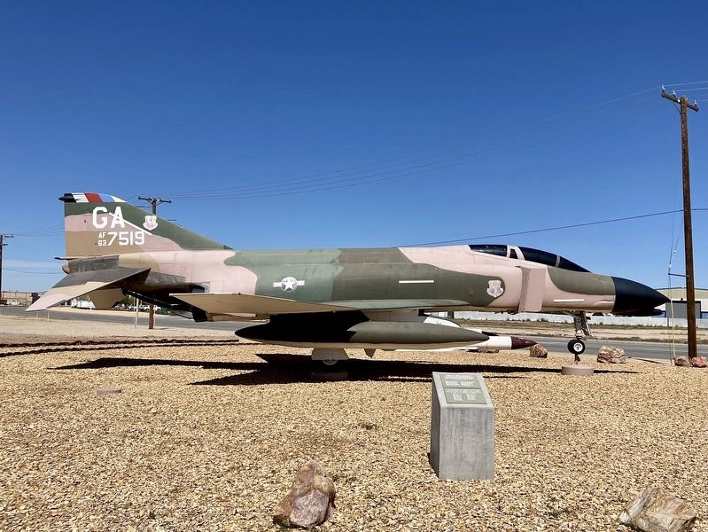
Regarding F-4C Phantom II. This F-4C, S/N 63-7519, was placed on display here in 1989, and
Photographed by Craig Baker, April 27, 2024
2. F-4C Phantom II and Marker
George Air Force Base closed in 1992.
Photographed by Craig Baker, April 27, 2024
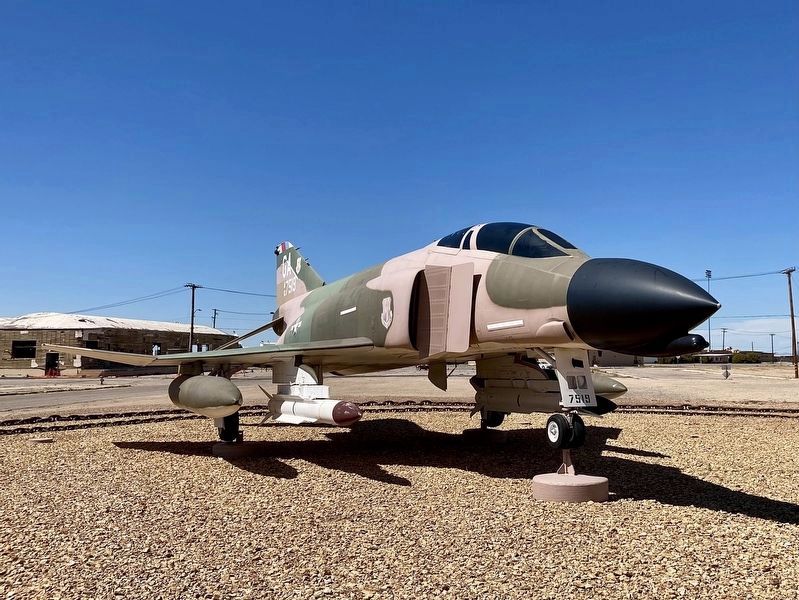
3. F-4C Phantom II
Photographed by Craig Baker, April 27, 2024
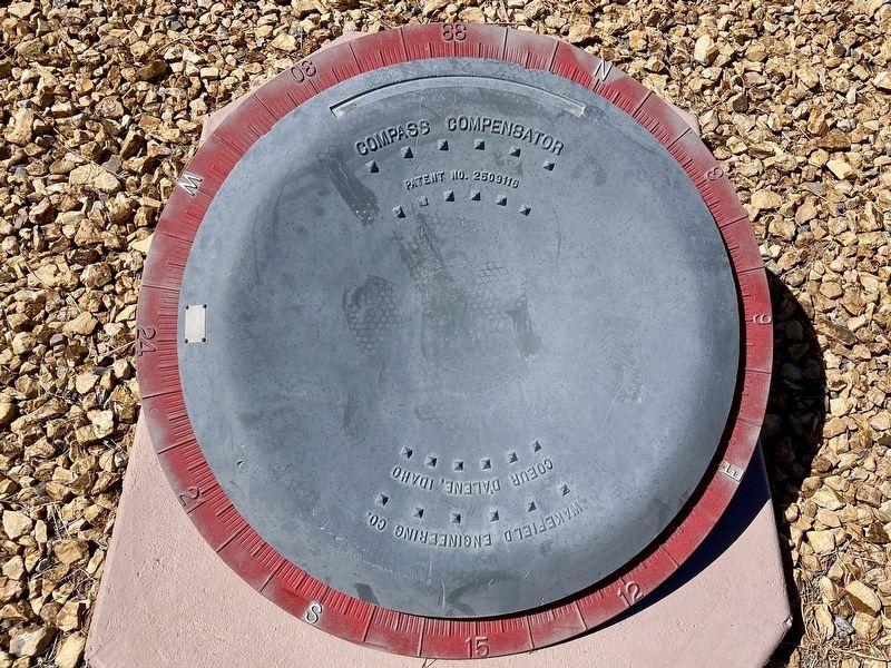
4. Compass Compensator
Credits. This page was last revised on April 28, 2024. It was originally submitted on April 28, 2024, by Craig Baker of Sylmar, California. This page has been viewed 393 times since then and 42 times this year. Photos: 1, 2, 3, 4. submitted on April 28, 2024, by Craig Baker of Sylmar, California.
