Blossburg in Tioga County, Pennsylvania — The American Northeast (Mid-Atlantic)
William B. Wilson
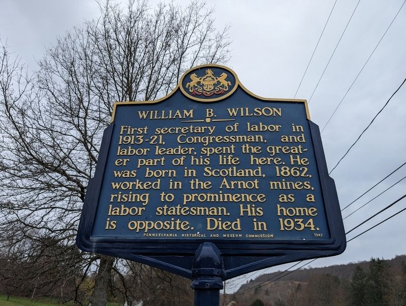
Photographed by Mike Wintermantel, April 27, 2024
1. William B. Wilson Marker
Erected 1947 by Pennsylvania Historical and Museum Commission.
Topics. This historical marker is listed in this topic list: Government & Politics. A significant historical year for this entry is 1862.
Location. 41° 40.017′ N, 77° 4.574′ W. Marker is in Blossburg, Pennsylvania, in Tioga County. It is on South Williamson Road. Touch for map. Marker is at or near this postal address: 317 S Williamson Rd, Blossburg PA 16912, United States of America. Touch for directions.

Regionally, this marker is in the Pennsylvania Wilds. It is also in the American Northeast, in the Mid-Atlantic, in Appalachia, and specifically in Northern Appalachia. Globally, it is in North America, the Western Hemisphere, the Western World, and the Anglosphere. Historically, it finds itself in what was once the Haudenosaunee (Iroquois) Confederacy and also one of the original Thirteen Colonies.
this page online
Other nearby markers. At least 8 other markers are within 8 miles of this marker, measured as the crow flies: A different marker also named William B. Wilson (within shouting distance of this marker); Coal in Tioga County (approx. 0.8 miles away); Blossburg Veterans Memorial (approx. 1.1 miles away); Williamson Road (approx. 7.6 miles away); Staff Sergeant Ryan Scott Ostrom (approx. 7.7 miles away); Veterans Memorial (approx. 7.7 miles away); Site of the Block House (approx. 7.7 miles away); a different marker also named Williamson Road (approx. 8 miles away). Touch for a list and map of all markers in Blossburg.
Another marker is no longer nearby. Coal Discovery (was approx. 0.3 miles away but has been confirmed missing).
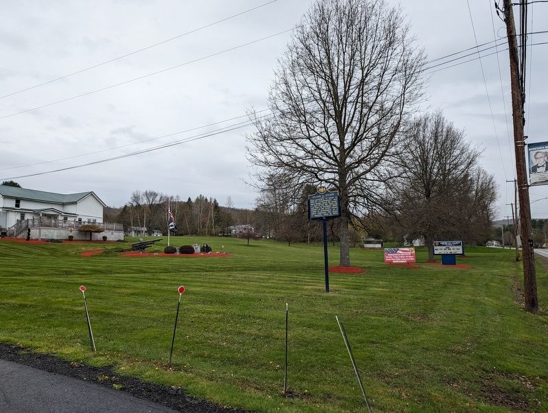
Photographed by Mike Wintermantel, April 27, 2024
2. William B. Wilson Marker
Credits. This page was last revised on April 28, 2024. It was originally submitted on April 28, 2024, by Mike Wintermantel of Pittsburgh, Pennsylvania. This page has been viewed 223 times since then and 18 times this year. Photos: 1, 2. submitted on April 28, 2024, by Mike Wintermantel of Pittsburgh, Pennsylvania.
