Lafayette in Tippecanoe County, Indiana — The American Midwest (Great Lakes)
Tree of Hope
Photographed by Trevor L Whited, April 28, 2024
1. Tree of Hope Marker
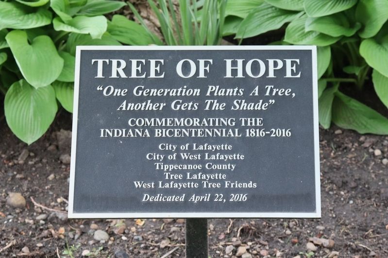
"One generation plants a tree, another gets the shade"Commemorating the Indiana Bicentennial 1816-2016
Erected 2016 by City of Lafayette; City of West Lafayette; Tippecanoe County; Tree Lafayette; West Lafayette Tree Friends.
Topics. This historical marker is listed in these topic lists: Government & Politics • Political Subdivisions. A significant historical year for this entry is 2016.
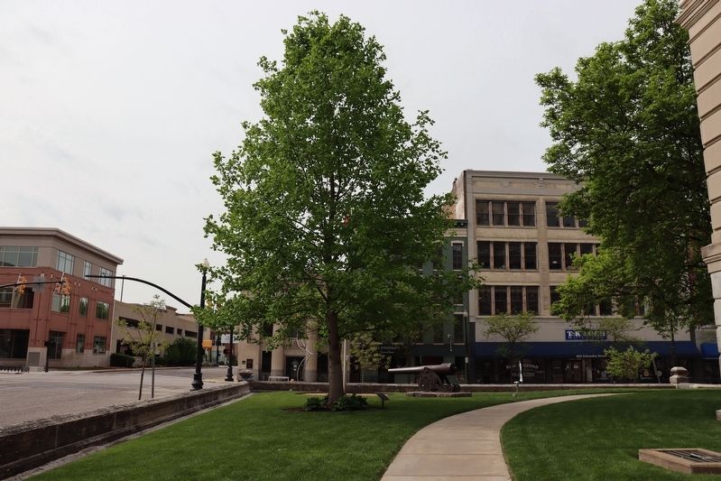
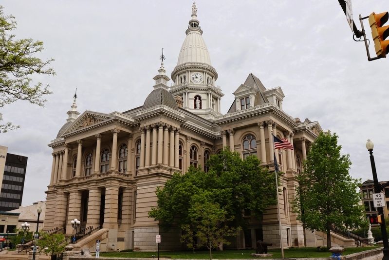
Location. 40° 25.109′ N, 86° 53.597′ W. Marker is in Lafayette, Indiana, in Tippecanoe County. It can be reached from the intersection of North 3rd Street (Old U.S. 231) and Columbia Street, on the left when traveling south. The marker and tree are on the South East corner of the Tippecanoe County Courthouse lawn. Touch for map. Marker is at or near this postal address: 20 N 3rd St, Lafayette IN 47901, United States of America. Touch for directions.

Regionally, this marker is in Central Indiana. It is also in the American Midwest and in the Corn Belt. Globally, it is in North America, the Western Hemisphere, the Western World, and the Anglosphere. Historically, it finds itself in what was once the Viceroyalty of
this page online
Other nearby markers. At least 8 other markers are within walking distance of this marker: 1825 Lafayette 1925 (within shouting distance of this marker); General Lafayette - Fountain (within shouting distance of this marker); Tippecanoe County Established (within shouting distance of this marker); The Tippecanoe County Courthouse (within shouting distance of this marker); Constitution Oak (within shouting distance of this marker); To Commemorate The Wabash and Erie Canal (within shouting distance of this marker); A Tribute to Joe Rumpza - The Vegetable King (about 400 feet away, measured in a direct line); Earl & Hatcher Block (about 500 feet away). Touch for a list and map of all markers in Lafayette.
Photographed by Trevor L Whited, April 28, 2024
2. Tree of Hope Marker
Photographed by Trevor L Whited, April 28, 2024
3. Tree of Hope Marker
Marker and tree are right of the Flag pole. picture taken from the corner of 3rd and Columbia streets.
Photographed by Trevor L Whited, April 28, 2024
4. Tree of Hope Marker
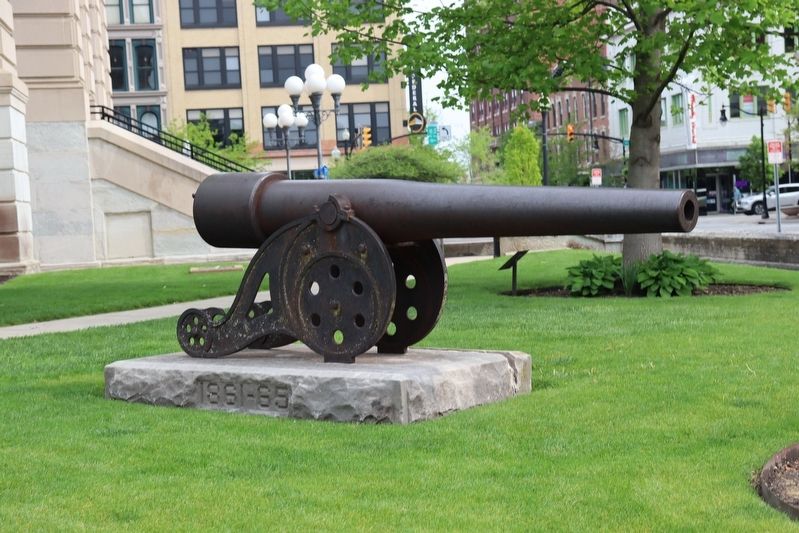
Marker can be seen behind the canon in front of the tree
Credits. This page was last revised on April 29, 2024. It was originally submitted on April 28, 2024, by Trevor L Whited of Kokomo, Indiana. This page has been viewed 284 times since then and 34 times this year. Photos: 1, 2, 3, 4. submitted on April 28, 2024, by Trevor L Whited of Kokomo, Indiana. • Devry Becker Jones was the editor who published this page.
