Copetown in Hamilton, Ontario — Central Canada (North America)
Where They Worshipped (1808-2008)
Photographed by Tim Boyd, April 29, 2024
1. Where They Worshipped (1808-2008) Marker
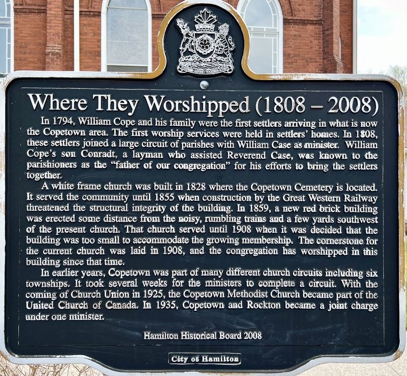
In 1794, William Cope and his family were the first settlers arriving in what is now the Copetown area. The first worship services were held in settlers' homes. In 1808, these settlers joined a large circuit of parishes with William Case as minister. William Cope's son Conradt, a layman who assisted Reverend Case, was known to the parishioners as the "father of our congregation" for his efforts to bring the settlers together.
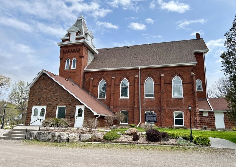
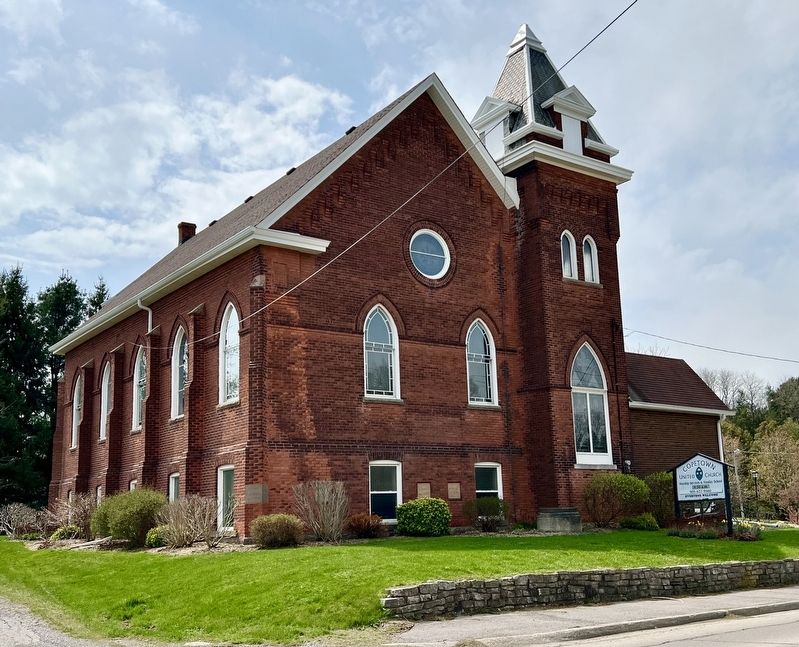
A white frame church was built in 1828 where the Copetown Cemetery is located. It served the community until 1855 when construction by the Great Western Railway threatened the structural integrity of the building. In 1859, a new red brick building was erected some distance from the noisy, rumbling trains and a few yards southwest of the present church. That church served until 1908 when it was decided that the building was too small to accommodate the growing membership. The cornerstone for the current church was laid in 1908, and the congregation has worshipped in this building since that time.
In earlier years, Copetown was part of many different church circuits including six townships. It
this page online
Erected 2008 by Hamilton Hitorical Board, City of Hamilton.
Topics. This historical marker is listed in these topic lists: Religion & Religious Structures • Settlements & Settlers. A significant historical year for this entry is 1808.
Location. 43° 14.554′ N, 80° 3.83′ W. Marker is in Hamilton, Ontario. It is in Copetown. It is on Governors Road 0.7 kilometers west of Highway 52, on the right when traveling east. Touch for map. Marker is at or near this postal address: 2253 Governors Rd, Hamilton ON L0R 1T0, Canada. Touch for directions.

Regionally, this marker is on the Golden Horseshoe, in the Hamilton-Halton-Brant Area, and specifically in the Toronto Metropolitan Area. It is also in Central Canada. Globally, it is in North America, on the Great Lakes, in the Western Hemisphere, in the Western World, and in the Anglosphere. Historically, it finds itself in what
Photographed by Tim Boyd, April 29, 2024
2. Where They Worshipped (1808-2008) Marker
Other nearby markers. At least 8 other markers are within 8 kilometers of this marker, measured as the crow flies: West Flamboro, Christie’s Corners (approx. 3.8 kilometers away); The Griffin House (approx. 5 kilometers away); Hermitage Estate History (approx. 5.2 kilometers away); The Hermitage (approx. 5.2 kilometers away); Upper Canada’s First Paper Mill 1826 (approx. 6 kilometers away); Smith-Gooderham House (approx. 6.6 kilometers away); Dundas Street / La Rue Dundas (approx. 7.2 kilometers away); Remnants of an 1840s Mercantile Block (approx. 7.3 kilometers away). Touch for a list and map of all markers in Hamilton.
Photographed by Tim Boyd, April 29, 2024
3. Copetown United Church
circa 1919
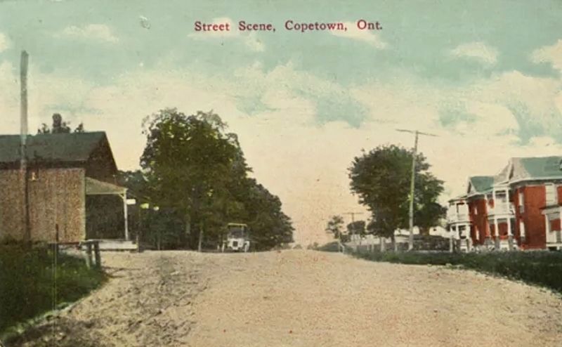
4. Copetown, ca 1919
Source: Hamilton Postcards (public domain)
Credits. This page was last revised on May 1, 2024. It was originally submitted on April 30, 2024, by Tim Boyd of Hamilton, Ontario. This page has been viewed 300 times since then and 55 times this year. Photos: 1, 2, 3, 4. submitted on April 30, 2024, by Tim Boyd of Hamilton, Ontario. • Andrew Ruppenstein was the editor who published this page.
