Flamborough in Hamilton, Ontario — Central Canada (North America)
West Flamboro, Christie’s Corners
Photographed by Tim Boyd, April 29, 2024
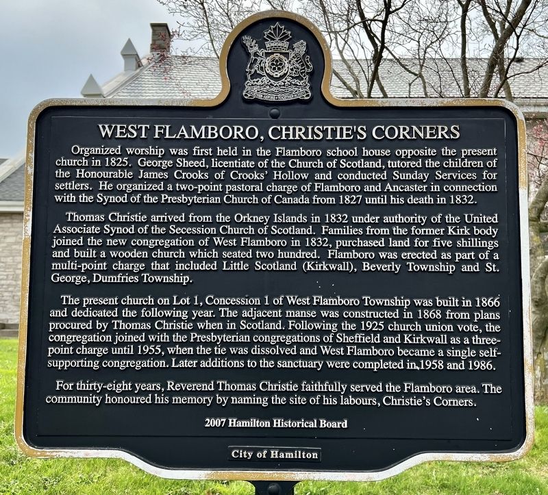
1. West Flamboro, Christie’s Corners Marker
Organized worship was first held in the Flamboro school house opposite the present church in 1825. George Sheed, licentiate of the Church of Scotland, tutored the children of the Honourable James Crooks of Crooks' Hollow and conducted Sunday Services for settlers. He organized a two-point pastoral charge of Flamboro and Ancaster in connection with the Synod of the Presbyterian Church of Canada from 1827 until his death in 1832.
Thomas Christie arrived from the Orkney Islands in 1832 under authority of the United Associate Synod of the Secession Church of Scotland. Families from the former Kirk body joined the new congregation of West Flamboro in 1832, purchased land for five shillings and built a wooden church which seated two hundred. Flamboro was erected as part of a multi-point charge that included Little Scotland (Kirkwall), Beverly Township and St. George, Dumfries Township.
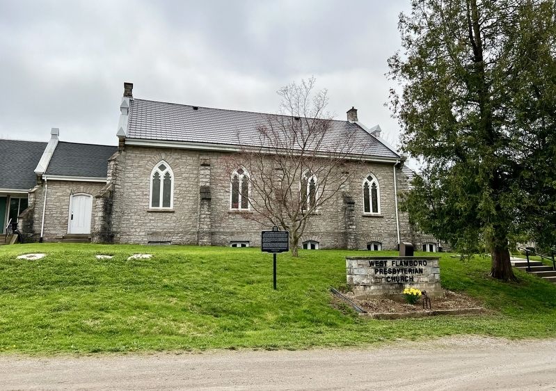
The present church on Lot 1, Concession 1 of West Flamboro Township was built in 1866 and dedicated the following year. The adjacent manse was constructed in 1868 from plans procured by Thomas Christie when in Scotland. Following the 1925
this page online
2007 Hamilton Historical Board
Erected 2007 by Hamilton Historical Board.
Topics. This historical marker is listed in these topic lists: Religion & Religious Structures • Settlements & Settlers. A significant historical year for this entry is 1825.
Location. 43° 16.077′ N, 80° 1.926′ W. Marker is in Hamilton, Ontario. It is in Flamborough. It is at the intersection of Hamilton Road (Highway 8) and Middletown Road, on the right when traveling east on Hamilton Road (Highway 8). Touch for map. Marker is in this post office area: Hamilton ON L9H 5E1, Canada. Touch for directions.

Regionally, this marker is on Ontario’s Golden Horseshoe, in the Hamilton-Halton-Brant
Photographed by Tim Boyd, April 29, 2024
2. West Flamboro, Christie’s Corners Marker
Other nearby markers. At least 8 other markers are within 6 kilometers of this marker, measured as the crow flies: Upper Canada’s First Paper Mill 1826 (approx. 2.3 kilometers away); Remnants of an 1840s Mercantile Block (approx. 3.8 kilometers away); Where They Worshipped (1808-2008) (approx. 3.8 kilometers away); Hermitage Estate History (approx. 4.1 kilometers away); The Hermitage (approx. 4.1 kilometers away); The Griffin House (approx. 4.3 kilometers away); Dundas Street / La Rue Dundas (approx. 4.6 kilometers away); The 25-Pounder Gun/Howitzer (approx. 5.3 kilometers away). Touch for a list and map of all markers in Hamilton.
Also see . . . Flamborough Archives - History of West Flamborough.
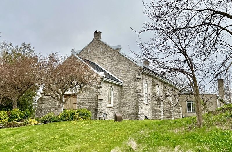
West Flamborough Township, located at the western(Submitted on April 30, 2024, by Tim Boyd of Hamilton, Ontario.)end of Lake Ontario, was among the first group of townships that Lieutenant Governor John Graves Simcoe’s surveyors “carved out of the wilderness that was Upper Canada” between 1791 and 1793.Photographed by Tim Boyd, April 29, 20243. West Flamboro Presbyterian Church
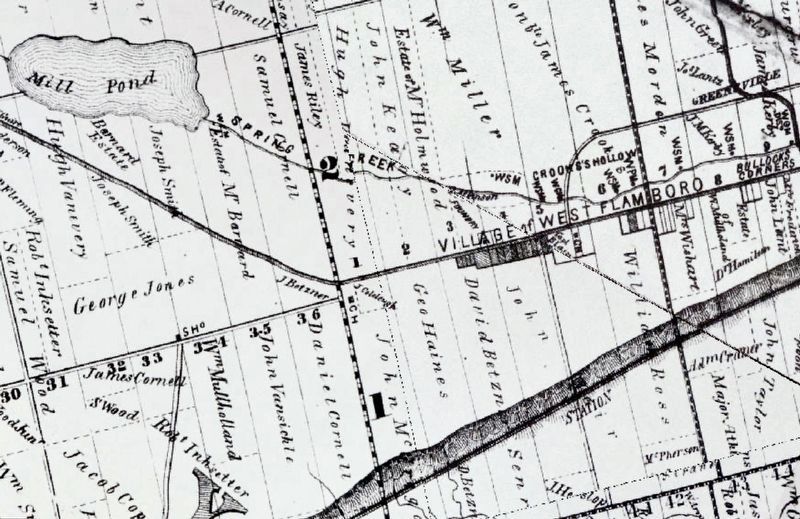
1875
4. West Flamboro and Christie’s Corners area, 1875
Credits. This page was last revised on April 30, 2024. It was originally submitted on April 30, 2024, by Tim Boyd of Hamilton, Ontario. This page has been viewed 452 times since then and 53 times this year. Photos: 1, 2, 3, 4. submitted on April 30, 2024, by Tim Boyd of Hamilton, Ontario. • Andrew Ruppenstein was the editor who published this page.
