Capitol Hill in Salt Lake City in Salt Lake County, Utah — The American Mountains (Southwest)
Historical Gardens
Photographed by Jeremy Snow, April 30, 2024
1. Historical Gardens Marker
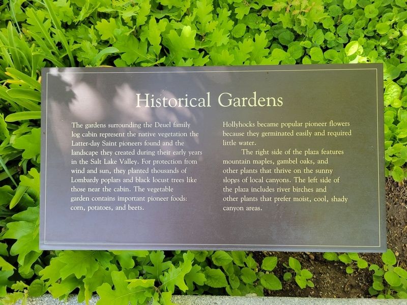
The gardens surrounding the Deuel family log cabin represent the native vegetation the Latter-day Saint pioneers found and the landscape they created during their early years in the Salt Lake Valley. For protection from wind and sun, they planted thousands of Lombardy poplars and black locust trees like those near the cabin. The vegetable garden contains important pioneer foods: corn, potatoes, and beets.
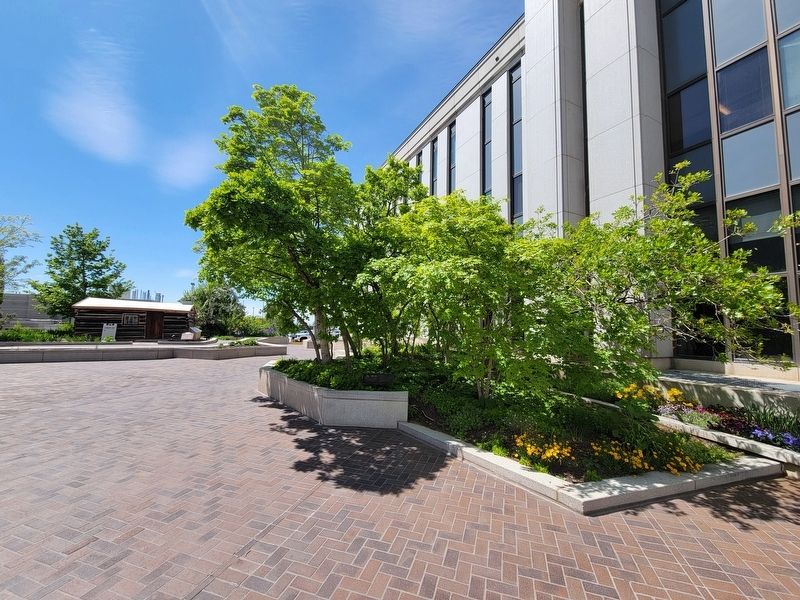
Hollyhocks became popular pioneer flowers because they germinated easily and required little water. The right side of the plaza features mountain maples, gambel oaks, and other plants that thrive on the sunny slopes of local canyons. The left side of the plaza includes river birches and other plants that prefer moist, cool, shady canyon areas.
Topics. This historical marker is listed in these topic lists: Agriculture • Settlements & Settlers. A significant historical year for this entry is 1847.
Location. 40° 46.239′ N, 111° 53.672′ W. Marker is in Salt Lake City, Utah, in Salt Lake County. It is in Capitol Hill. It can be reached from North West Temple Street. Located on the South side of the LDS Church History
this page online

Regionally, this marker is in the Wasatch Front and in Greater Salt Lake. It is also in the American Mountain West and on the Colorado Plateau. Globally, it is in North America, the Rocky Mountains, the Western Hemisphere, the Western World, and the Anglosphere. Historically, it finds itself in what was once New Spain and also Mexico’s Alta California.
Other nearby markers. At least 8 other markers are within walking distance of this marker: Pioneer Log Home (a few steps from this marker); Mormon Tabernacle (about 300 feet away, measured in a direct line); Restoration of the Aaronic Priesthood (about 300 feet away); Restoration of the Melchizedek Priesthood (about 400 feet away); Primary Children’s Hospital (about 500 feet away); Joseph Smith's First Vision (about 500 feet away); Assembly Hall (about 500 feet away); Joseph Smith Receives the Plates (about 500 feet away). Touch for a list and map of all markers in Salt Lake City.
Another marker is no longer
Photographed by Jeremy Snow, April 30, 2024
2. Historical Gardens Marker
Credits. This page was last revised on May 4, 2024. It was originally submitted on May 1, 2024, by Jeremy Snow of Cedar City, Utah. This page has been viewed 242 times since then and 18 times this year. Photos: 1, 2. submitted on May 1, 2024, by Jeremy Snow of Cedar City, Utah. • Andrew Ruppenstein was the editor who published this page.
