Bountiful in Davis County, Utah — The American Mountains (Southwest)
Bliss Hall
| — | Bountiful Area Historic Site | — |
Photographed by Jeremy Snow, May 1, 2024
1. Bliss Hall Marker
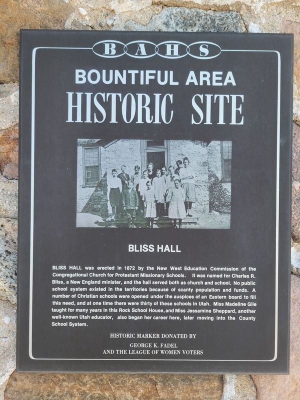
BLISS HALL was erected in 1872 by the New West Education Commission of the Congregational Church for Protestant Missionary Schools. It was named for Charles R. Bliss, a New England minister, and the hall served both as church and school. No public school system existed in the territories because of scanty population and funds. A number of Christian schools were opened under the auspices of an Eastern board to fill this need, and at one time there were thirty of these schools in Utah. Miss Madeline Gile taught for many years in this Rock School House, and Miss Jessamine Sheppard, another well-known Utah educator, also began her career here, later moving into the County School System.
Historic marker donated by George K. Fadel and the League of Wonen Voters
Topics. This historical marker is listed in this topic list: Education. A significant historical year for this entry is 1872.
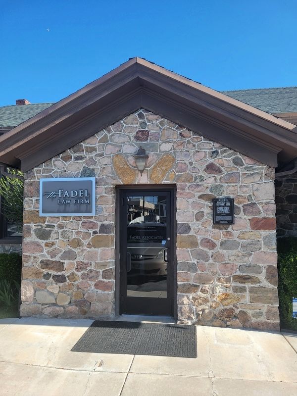
Location. 40° 53.125′ N, 111° 53.096′ W. Marker is in Bountiful, Utah, in Davis County. It is on West 400 South, on the right when traveling west. Touch for map. Marker is at or near this postal address: 170 W 400 S, Bountiful UT 84010, United
this page online

Regionally, this marker is in the Wasatch Front and in Greater Salt Lake. It is also in the American Mountain West and on the Colorado Plateau. Globally, it is in North America, the Rocky Mountains, the Western Hemisphere, the Western World, and the Anglosphere. Historically, it finds itself in what was once New Spain and also Mexico’s Alta California.
Other nearby markers. At least 8 other markers are within walking distance of this marker: The Bamberger (about 700 feet away, measured in a direct line); Bountiful Lumber and Supply Company (approx. ¼ mile away); Bountiful Centennial Monument (approx. 0.3 miles away); Bountiful Tabernacle (approx. 0.4 miles away); Daniel Wood Cemetery (approx. 0.4 miles away); Daniel Wood (approx. 0.4 miles away); Rampton Family (approx. 0.4 miles away); The People's Opera House and Mercantile Company of Bountiful (approx. 0.4 miles away). Touch for a list and map of all markers in Bountiful.
Photographed by Jeremy Snow, May 1, 2024
2. Bliss Hall Marker
Credits. This page was last revised on May 1, 2024. It was originally submitted on May 1, 2024, by Jeremy Snow of Cedar City, Utah. This page has been viewed 328 times since then and 24 times this year. Photos: 1, 2. submitted on May 1, 2024, by Jeremy Snow of Cedar City, Utah. • Andrew Ruppenstein was the editor who published this page.
