Chester in Chester County, South Carolina — The American South (South Atlantic)
St. Paul Baptist Church at Halsellville
⎯⎯⎯
Carter Colored School
Photographed by Cosmos Mariner, May 2, 2024
1. St. Paul Baptist Church at Halsellville
(east side of marker)
(east side of marker)
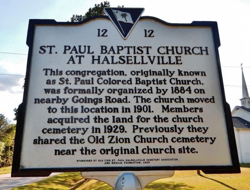
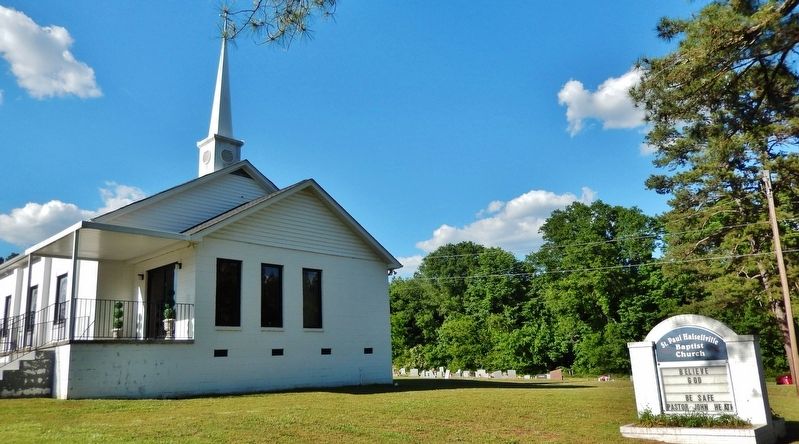
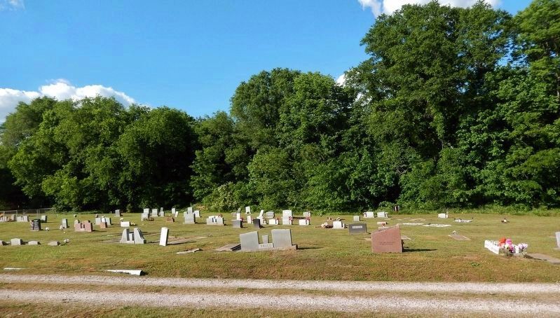
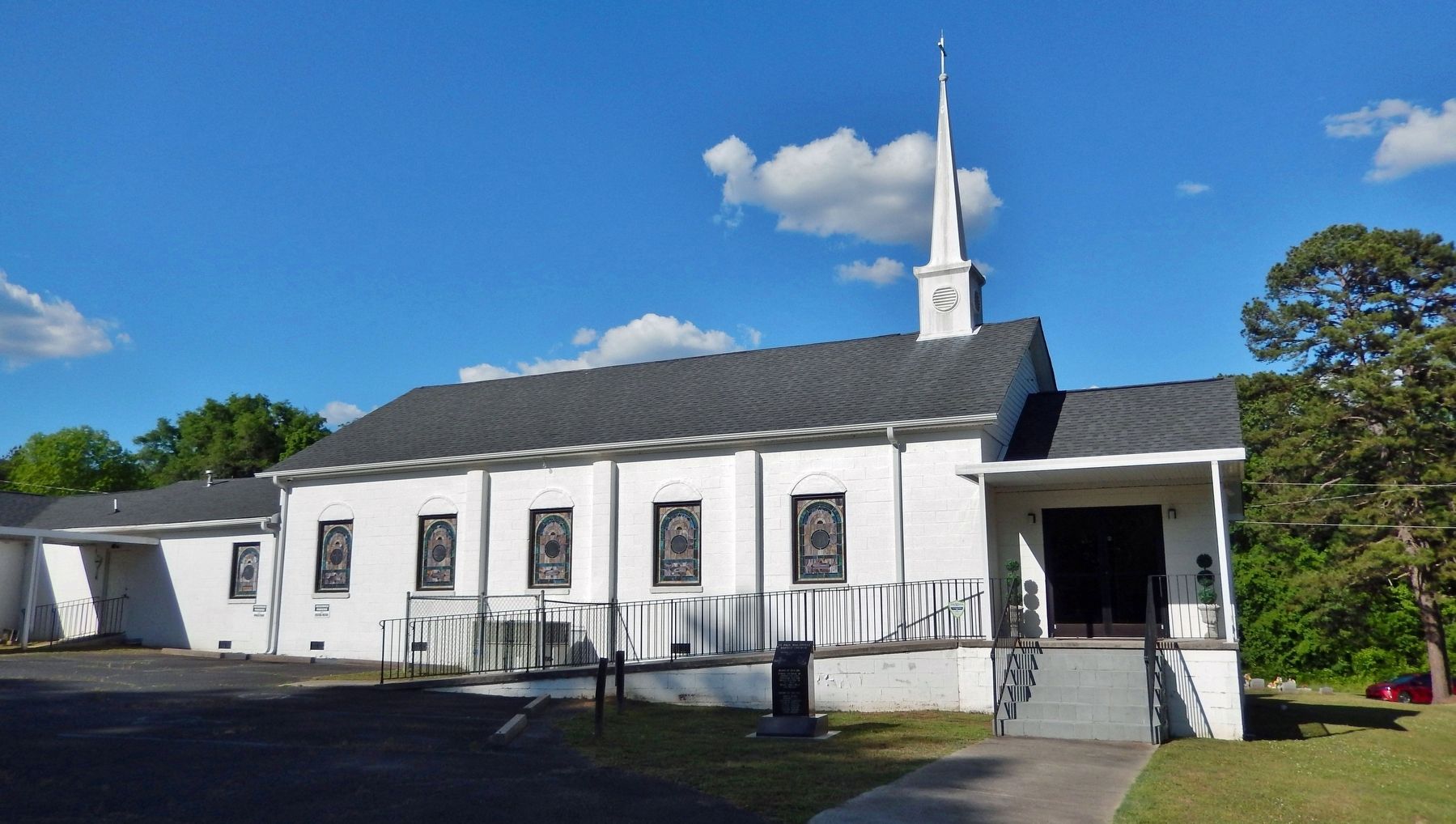
St. Paul Baptist Church at Halsellville. This congregation, originally known as St. Paul Colored Baptist Church, was formally organized by 1884 on nearby Goings Road. The church moved to this location in 1901. Members acquired the land for the church cemetery in 1929. Previously they shared the Old Zion Church cemetery near the original church site.
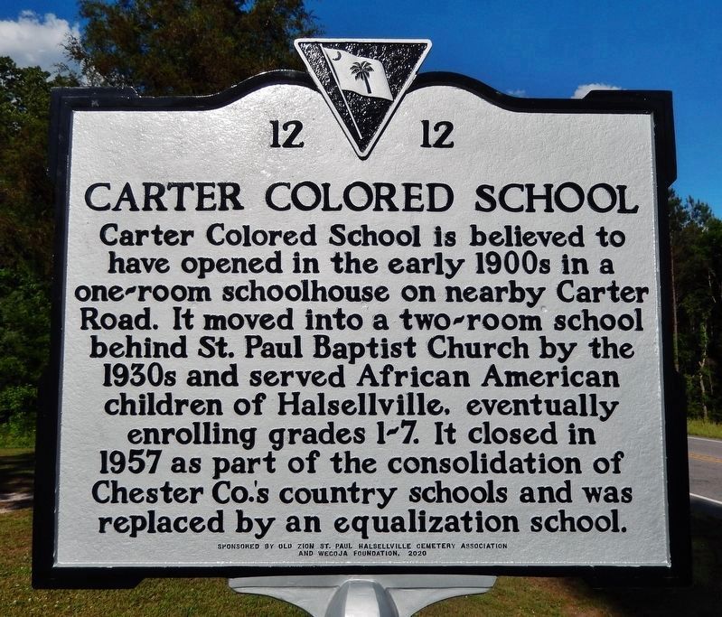
Carter Colored School. Carter Colored School is believed to have opened in the early 1900s in a one-room schoolhouse on nearby Carter Road. It moved into a two-room school behind St. Paul Baptist Church by the 1930s and served African American children of Halsellville, eventually enrolling grades 1-7. It closed in 1957 as part of the consolidation of Chester Co.'s country schools and was replaced by an equalization school.
Erected 2020 by South Carolina Department of Archives and History, sponsored by Old Zion St. Paul Halsellville Cemetery Association and WeGOJA Foundation. (Marker Number 12-12.)
Topics. This historical marker is listed in these topic lists: African Americans • Cemeteries & Burial Sites • Education • Religion & Religious Structures. A significant historical year for this entry is 1884.
Location. 34° 37.849′ N,
this page online

Regionally, this marker is in the Midlands and in the Olde English District. It is also in the American South and specifically in the Deep South. Globally, it is in North America, the Western Hemisphere, the Western World, and the Anglosphere. Historically, it finds itself in what was once the territory of the Mississippian Culture, one of the original Thirteen Colonies, one of the Confederate States of America, and the Antebellum South.
Other nearby markers. At least 8 other markers are within 8 miles of this marker, measured as the crow flies: Old Zion A.M.E. Zion Church (approx. 0.4 miles away); Chester State Park (approx. 5.4 miles
Photographed by Cosmos Mariner, May 2, 2024
2. Carter Colored School
(west side of marker)
(west side of marker)
Also see . . .
1. St. Paul Halseville Baptist Church (Facebook). (Submitted on May 3, 2024, by Cosmos Mariner of Cape Canaveral, Florida.)
2. Carter Colored School. A photograph from South Carolina Department of Archives and History. (Submitted on May 3, 2024, by Cosmos Mariner of Cape Canaveral, Florida.)
3. South Carolina Equalization Schools (National Park Service). Excerpt:
Constructed between 1951 and 1959, these 700 schools are physical reminders of the state’s response to calls for “separate but equal” public schools. South Carolina’s African American parents filed a lawsuit in 1951, called Briggs v. Elliott. This case, led by the National Association of the Advancement of Colored People (NAACP), was the first case in the nation(Submitted on May 3, 2024, by Cosmos Mariner of Cape Canaveral, Florida.)to sue for desegregation of elementary and secondary public schools, as opposed to calling for “equal” facilities. Ultimately, the Briggs case went to the United States Supreme Court as part of the Brown v. Board of Education decision declaring public school segregation asunconstitutional.Photographed by Cosmos Mariner, May 2, 20243. St. Paul Baptist Church at Halsellville Marker
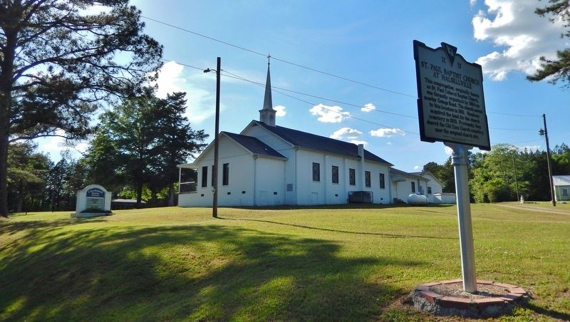
(east side)Looking northwest from West End Road; the church is in the left background.
4. Saint Paul Halsellville Baptist Church Cemetery (Find A Grave). (Submitted on May 3, 2024, by Cosmos Mariner of Cape Canaveral, Florida.)
5. The WeGOJA Foundation. Excerpt:
The WeGOJA Foundation (formerly the South Carolina African American Heritage Foundation) works to document and promote African American heritage sites in South Carolina. Supporting state historical markers, listings on the National Register of Historic Places, teacher’s guides and the Green Book of South Carolina, WeGOJA collaborates with civic, government and business leaders to Preserve Our Places in History.(Submitted on May 3, 2024, by Cosmos Mariner of Cape Canaveral, Florida.)
Photographed by Cosmos Mariner, May 2, 2024
4. Carter Colored School Marker (west side)
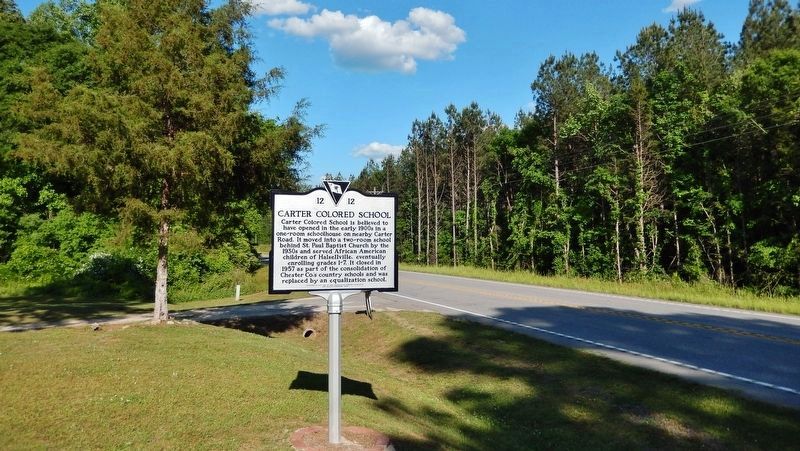
Looking east along West End Road; the church driveway is in the left background.
Photographed by Cosmos Mariner, May 2, 2024
5. St. Paul Baptist Church at Halsellville
Looking north from West End Road.
Photographed by Cosmos Mariner, May 2, 2024
6. Saint Paul Halsellville Baptist Church Cemetery
Looking east from the church; the cemetery spans the east side of the church grounds.
Photographed by Cosmos Mariner, May 2, 2024
7. St. Paul Baptist Church at Halsellville (west elevation)
Credits. This page was last revised on January 25, 2026. It was originally submitted on May 3, 2024, by Cosmos Mariner of Cape Canaveral, Florida. This page has been viewed 599 times since then and 84 times this year. Photos: 1, 2, 3, 4, 5, 6, 7. submitted on May 3, 2024, by Cosmos Mariner of Cape Canaveral, Florida.
