Branford Center in South Central Region, Connecticut — The American Northeast (New England)
Meeting of Ministers

Photographed by Conrad Ward, March 15, 2024
1. Meeting of Ministers Marker
In the house of The Rev. Samuel Russel once standing near this spot was held in 1700 the meeting of ministers of the Colony of Connecticut when they gave books for the founding of the collegiate school which now bears the name of Yale University
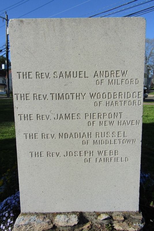
( left side )
The Rev. Timothy Woodbridge of Hartford
The Rev. James Pierpont of New Haven
The Rev. Noadiah Russel of Middletown
The Rev. Joseph Webb of Fairfield
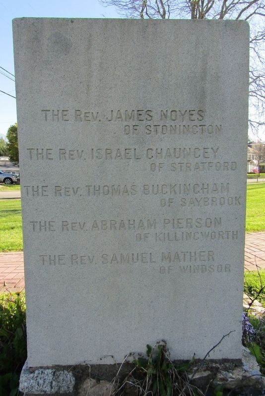
( right side )
The Rev. Israel Chauncey of Stratford
The Rev. Thomas Buckingham of Saybrook
The Rev. Abraham Pierson of Killingworth
The Rev. Samuel Mather of Windsor
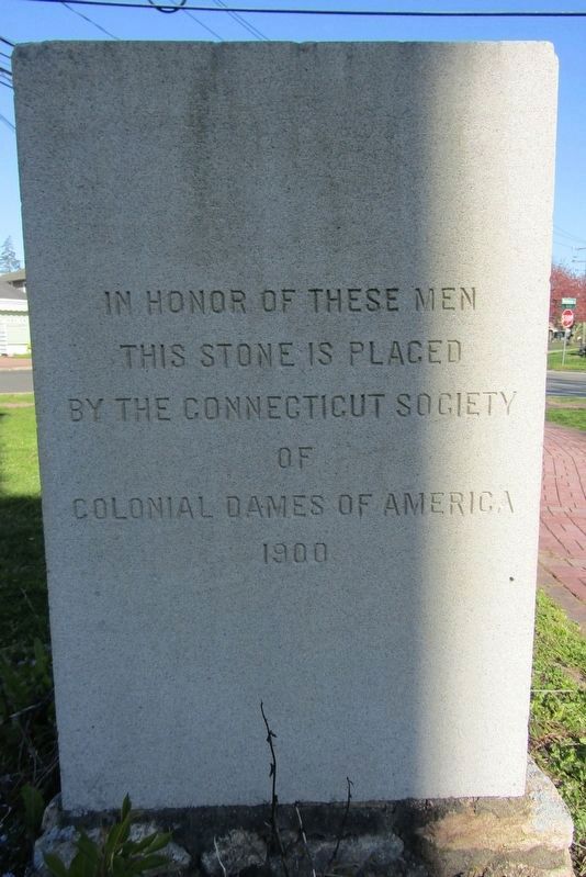
( back )
In honor of these men this stone is placed by the Connecticut Society of Colonial Dames of America 1900
Erected 1900 by Connecticut Society of Colonial Dames of America.
Topics. This historical marker is listed in this topic list: Education. A significant historical year for this entry is 1700.
Location. 41° 16.863′ N, 72° 48.546′ W. Marker is in Branford in South Central Region, Connecticut. It is in Branford Center. It is at the intersection of Montoweese Street (Connecticut Route 146) and S Main Street, on the left when traveling north on Montoweese Street. Touch for map. Marker is at or near this postal address: 200 Montowese Street, Branford CT 06405, United States of America. Touch for directions.

Regionally, this marker is in the Connecticut River Valley, on the Connecticut Shoreline, and in Greater New Haven. It is also in the American Northeast, in New England, and on the Eastern Seaboard. Globally, it is in the North Atlantic Region, North America, the Western Hemisphere, the Western World, and the Anglosphere. Historically, it finds itself in what was once New Haven County and also one of the original Thirteen Colonies.
this page online
Other nearby markers. At least 8 other markers are within walking distance of this marker: Cenotaph (about 300 feet away, measured in a direct line); Isaac C. Moses (about 400 feet away); Millstone (about 400 feet away); Branford Soldiers Monument (about 400 feet away); Branford (about 400 feet away); Branford Veterans Memorial (about 500 feet away); Cambridge (about 600 feet away); Founding of Yale College (about 700 feet away). Touch for a list and map of all markers in Branford.
Photographed by Conrad Ward, April 25, 2024
2. Left Side
Photographed by Conrad Ward, April 25, 2024
3. Right Side
Photographed by Conrad Ward, April 25, 2024
4. Back
Photographed by Conrad Ward, March 15, 2024
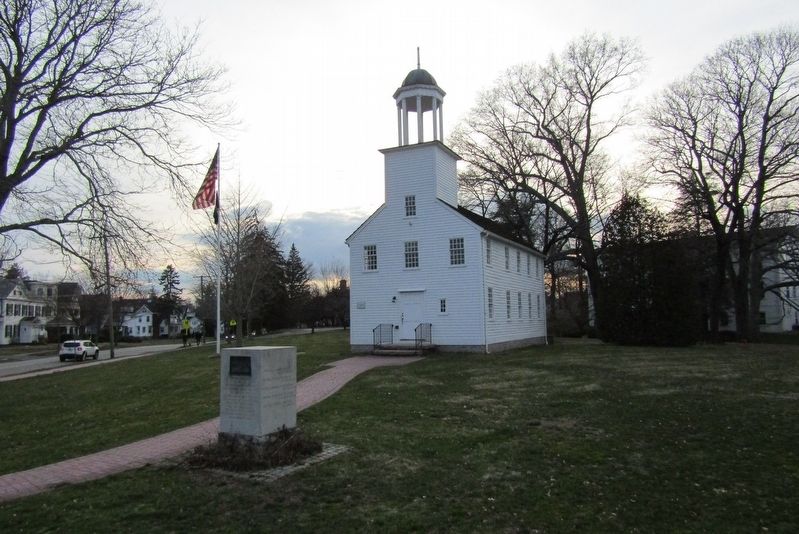
5. Marker in front of the Academy on the Green
Credits. This page was last revised on May 19, 2026. It was originally submitted on May 4, 2024, by Conrad Ward of Guilford, Connecticut. This page has been viewed 267 times since then and 22 times this year. Photos: 1, 2, 3, 4, 5. submitted on May 4, 2024, by Conrad Ward of Guilford, Connecticut. • Michael Herrick was the editor who published this page.
