
Branford Center in South Central Region, Connecticut — The American Northeast (New England)
Laurel Street School
Photographed by Conrad Ward, April 25, 2024
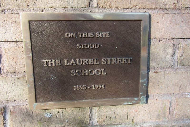
1. Laurel Street School Marker
stood
The Laurel Street School
1895 - 1994
Topics. This historical marker is listed in this topic list: Education. A significant historical year for this entry is 1895.
Location. 41° 16.861′ N, 72° 48.866′ W. Marker is in Branford in South Central Region, Connecticut. It is in Branford Center. It is at the intersection of Laurel Street and Cedar Street, on the right when traveling north on Laurel Street. Touch for map. Marker is at or near this postal address: 33 Laurel Street, Branford CT 06405, United States of America. Touch for directions.

Regionally, this marker is in the Connecticut River Valley, on the Connecticut Shoreline, and in Greater New Haven. It is also in the American Northeast, in New England, and on the Eastern Seaboard. Globally, it is in the North Atlantic Region, North America, the Western Hemisphere, the Western World, and the Anglosphere. Historically, it finds itself in what was once New Haven County and also one of the original Thirteen Colonies.
Other nearby markers. At least 8 other markers are within walking distance of this marker: The James Blackstone Memorial Library
this page online
Photographed by Conrad Ward, April 25, 2024
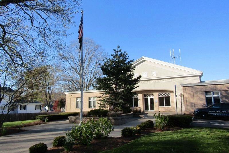
2. Laurel Street School. Now the Branford Police Department
The marker is at the base of the flag pole.
Credits. This page was last revised on May 19, 2026. It was originally submitted on May 4, 2024, by Conrad Ward of Guilford, Connecticut. This page has been viewed 282 times since then and 35 times this year. Photos: 1, 2. submitted on May 4, 2024, by Conrad Ward of Guilford, Connecticut. • Michael Herrick was the editor who published this page.
