Hansen in Twin Falls County, Idaho — The American West (Mountains)
Hansen
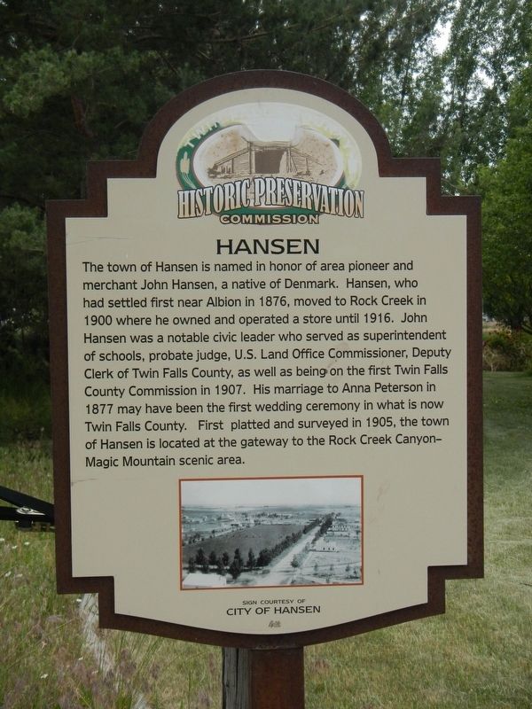
Photographed by Barry Swackhamer, May 15, 2018
1. Hansen Marker
Erected by Twin Falls County Historic Preservation Commission.
Topics. This historical marker is listed in this topic list: Settlements & Settlers.
Location. 42° 31.992′ N, 114° 18.258′ W. Marker is in Hansen, Idaho, in Twin Falls County. It is on U.S. 30 at milepost 227 near Little Cedar Street, on the left when traveling west. Touch for map. Marker is at or near this postal
this page online

Regionally, this marker is in Idaho’s Magic Valley. It is also in the American Mountain West. Globally, it is in North America, the Western Hemisphere, the Western World, and the Anglosphere.
Other nearby markers. At least 8 other markers are within 5 miles of this marker, measured as the crow flies: First Trading Post (within shouting distance of this marker); Rock Creek Station (about 300 feet away, measured in a direct line); Hansen Bridge (approx. 2.3 miles away); Ancient Lake Bonneville (approx. 2.3 miles away); The Desert Bloomed (approx. 2.3 miles away); Snake River Canyon Gold Rush (approx. 4.7 miles away); Before there were potatoes, there was GOLD (approx. 4.7 miles away); History Through the Eyes of a Camera (approx. 4.7 miles away). Touch for a list and map of all markers in Hansen.
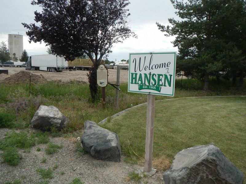
Photographed by Barry Swackhamer, May 15, 2018
2. Hansen Marker
Credits. This page was last revised on May 7, 2024. It was originally submitted on October 26, 2018, by Barry Swackhamer of Brentwood, California. This page has been viewed 1,325 times since then and 118 times this year. Last updated on May 6, 2024, by Jeremy Snow of Cedar City, Utah. Photos: 1, 2. submitted on October 26, 2018, by Barry Swackhamer of Brentwood, California. • Devry Becker Jones was the editor who published this page.
