Hollywood Hills in Los Angeles in Los Angeles County, California — The American West (Pacific Coastal)
The City That Dreams Built
Photographed by Craig Baker, May 6, 2024
1. The City That Dreams Built Marker
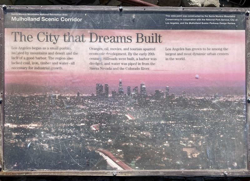
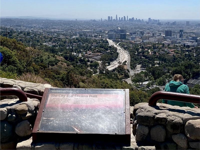
Los Angeles began as a small pueblo, isolated by mountains and desert and the lack of a good harbor. The region also lacked coal, iron, timber and water - all necessary for industrial growth. Oranges, oil, movies, and tourism spurred economic development. By the early 20th century, railroads were built, a harbor was dredged, and water was piped in from the Sierra Nevada and the Colorado River.
Los Angeles has grown to be among the largest and most dynamic urban centers in the world.
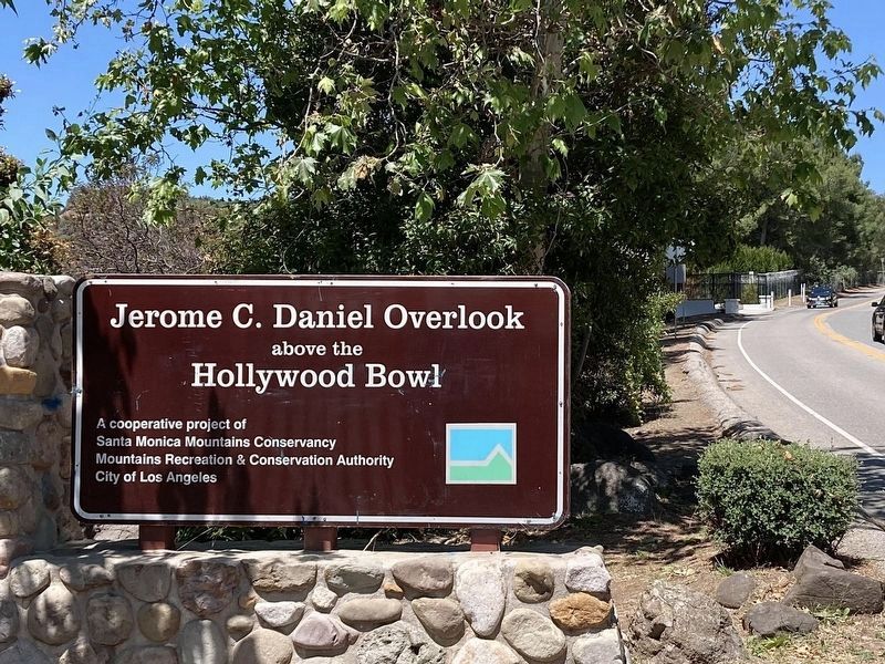
This vista point was constructed by the Santa Monica Mountains Conservancy in cooperation with the National Park Service, City of Los Angeles, and the Mulholland Scenic Parkway Design Review.
Erected by Santa Monica Mountains National Recreation Area.
Topics. This historical marker is listed in this topic list: Settlements & Settlers. A significant historical year for this entry is 1781.
Location. 34° 6.991′ N, 118° 20.529′ W. Marker is in Los Angeles, California, in Los Angeles County. It is in Hollywood Hills. It can be reached from Mulholland Drive 0.7 miles west of the Hollywood Freeway (U.S. 101), on the left
this page online

Regionally, this marker is in the Transverse Ranges. It is also on the American Pacific Coast. Globally, it is in North America, on the Ring of Fire, on the Pacific Rim, in the Western Hemisphere, in the Western World, and in the Anglosphere. Historically, it finds itself in what was once New Spain and also Mexico’s Alta California.
Other nearby markers. At least 8 other markers are within walking distance of this marker: The Hollywood Bowl (here, next to this marker); Hollywood Sign (here, next to this marker); Mulholland Scenic Corridor (within shouting distance of this marker); Cahuenga Pass Treasure (approx. 0.4 miles away); The View at the Hollywood Bowl (approx. 0.4 miles away); The Honorable Edmund D. Edelman (approx. 0.4 miles away); Muse of Music (approx. half a mile away); B.A.G. Fuller Residence (approx. half a mile away). Touch for a list and map of all
Photographed by Craig Baker
2. The City That Dreams Built and Marker
Photographed by Craig Baker, May 6, 2024
3. Hollywood Bowl Overlook
Credits. This page was last revised on May 27, 2024. It was originally submitted on May 7, 2024, by Craig Baker of Sylmar, California. This page has been viewed 371 times since then and 57 times this year. Photos: 1, 2, 3. submitted on May 7, 2024, by Craig Baker of Sylmar, California.
