
Near Midland in Stanley County, South Dakota — The American Midwest (Upper Plains)
Little Brown Church On The Prairie
May 4, 2024
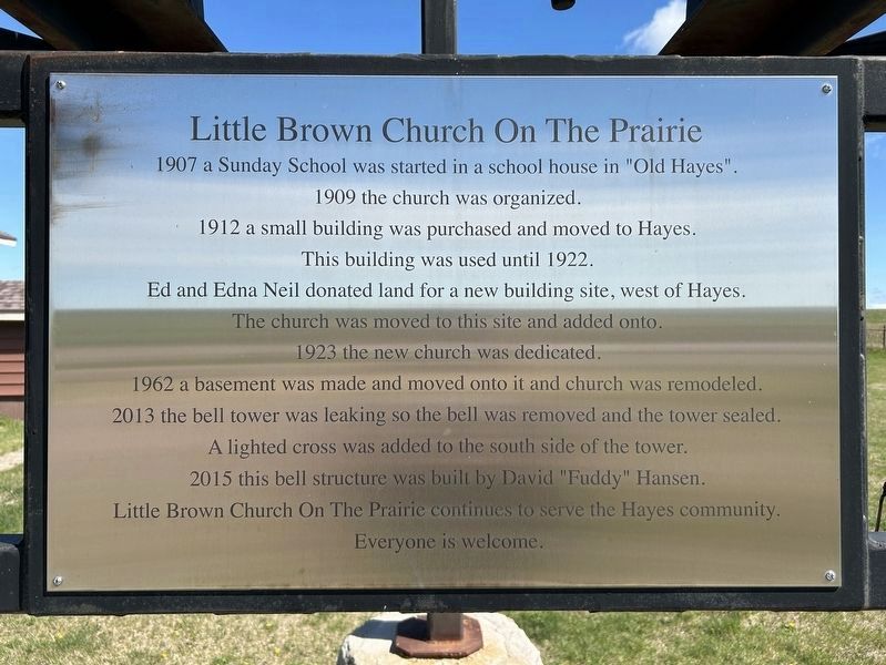
1. Little Brown Church On The Prairie Marker
1907 a Sunday School was started in a school house in "Old Hayes".
1909 the church was organized.
1912 a small building was purchased and moved to Hayes.
This building was used until 1922.
Ed and Edna Neil donated land for a new building site, west of Hayes.
The church was moved to this site and added onto.
1923 the new church was dedicated.
1962 a basement was made and moved onto it and church was remodeled.
2013 the bell tower was leaking so the bell was removed and the tower sealed.
A lighted cross was added to the south side of the tower.
2015 this bell structure was built by David "Fuddy" Hansen.
Little Brown Church On The Prairie continues to serve the Hayes community.
Everyone is welcome.
Erected 2015 by David "Fuddy" Hansen.
Topics. This historical marker is listed in this topic list: Religion & Religious Structures. A significant historical year for this entry is 1909.
Location. 44° 22.34′ N, 101° 4.452′ W. Marker is near Midland, South Dakota, in Stanley County. It is at the intersection of North Brown Church Road and South Dakota Highway 34 (U.S. 14), on the right when
this page online

Regionally, this marker is in the Crow Creek Sioux Tribe and in East River. It is also in the American Lewis & Clark Corridor, on the prairies, and on the Northern Plains. Globally, it is in North America, the Western Hemisphere, the Western World, and the Anglosphere. Historically, it finds itself in what was once Rupert’s Land and also the Louisiana Purchase.
Other nearby markers. At least 6 other markers are within 5 miles of this marker, measured as the crow flies: Old Deadwood Trail (within shouting distance of this marker); Plum Creek Waterhole (approx. 3.4 miles away); Plum Creek Station (approx. 3.4 miles away); Deadwood Trail Went S.W. (approx. 3½ miles away); Old Indian Trail (approx. 3.7 miles away); Early Western Highway (approx. 4.8 miles away).
May 4, 2024
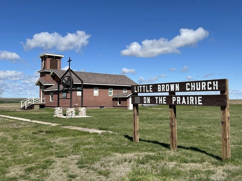
2. Little Brown Church On The Prairie & Marker
May 4, 2024
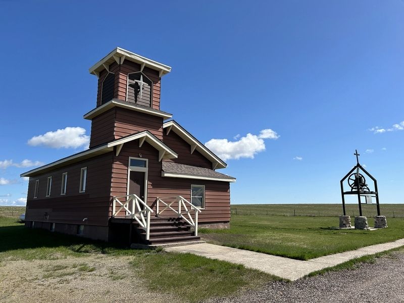
3. Little Brown Church On The Prairie
May 4, 2024
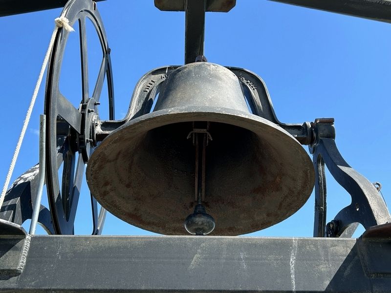
4. Church Bell
Credits. This page was last revised on May 9, 2024. It was originally submitted on May 9, 2024. This page has been viewed 1,374 times since then and 152 times this year. Photos: 1, 2, 3, 4. submitted on May 9, 2024.
