Near Dickens in Dickens County, Texas — The American South (West South Central)
Espuela

Photographed by Allen Lowrey, May 5, 2024
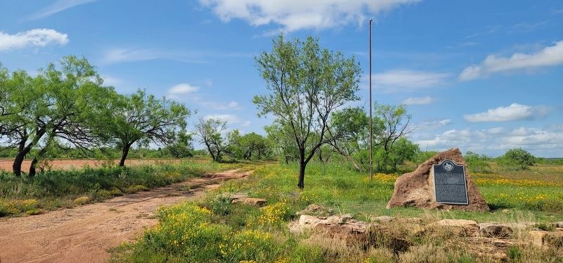
1. Espuela Marker
By the mid-1880s, the community that had begun with Parrish's small store was the largest in the county. Parrish platted the town and became its first postmaster in 1883. A one-room schoolhouse replaced a dugout already in use by the children and their teacher. Dickens County was created that year, and Espuela became first the temporary and then the permanent county seat. In summer 1891 the town boasted a gristmill, blacksmith shop, several stores, a hotel, a bootmaker, a saloon, a newspaper, civic organizations and a cotton gin. Neither a courthouse nor a jail were ever erected. On March 8, 1892, another election was held because of boundary issues surrounding Espuela, and Dickens was voted the county seat.
Though many settlers and businesses moved on, the town of Espuela survived as long as the land & cattle company existed. In 1905, the company sold the Spur Ranch near this site to E.P. and S.A. Swenson. The post office moved to the new town of Spur in 1910. All that remains of the town of Espuela is the cemetery.
Erected 2000 by Texas Historical Commission. (Marker
this page online
Topics. This historical marker is listed in this topic list: Settlements & Settlers. A significant historical date for this entry is March 8, 1892.
Location. 33° 34.411′ N, 100° 53.648′ W. Marker is near Dickens, Texas, in Dickens County. It is on Farm to Market Road 1868 0.8 miles west of County Road 427, on the right when traveling west. Touch for map. Marker is at or near this postal address: 831 FM 1868, Spur TX 79370, United States of America. Touch for directions.

Regionally, this marker is on Texas’ South Plains. It is also on the American Great Plains and specifically on the Southern Plains. Globally, it is in North America, a Gulf of Mexico state, the Western Hemisphere, the Western World, and the Anglosphere. Historically, it finds itself in what was once New Spain, the Republic of Texas, and one of the Confederate States of America.
Other nearby markers. At least 8 other markers are within 8 miles of this marker, measured as the crow flies: Site of Anderson's Fort or Soldier's Mound (approx. 4.4 miles away); Dickens County (approx. 4.7 miles away); Dickens Springs (approx. 5.3 miles away); Dickens Cemetery
Photographed by Allen Lowrey, May 5, 2024
2. Espuela Marker
Credits. This page was last revised on May 9, 2024. It was originally submitted on May 9, 2024, by Allen Lowrey of Amarillo, Texas. This page has been viewed 408 times since then and 51 times this year. Photos: 1, 2. submitted on May 9, 2024, by Allen Lowrey of Amarillo, Texas. • James Hulse was the editor who published this page.
