Sandy in Salt Lake County, Utah — The American Mountains (Southwest)
Sandy City Bank
National Register
Photographed by Jeremy Snow, May 8, 2024
1. Sandy City Bank Marker
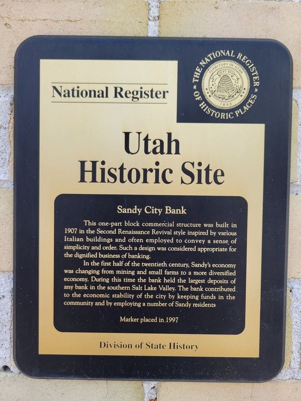
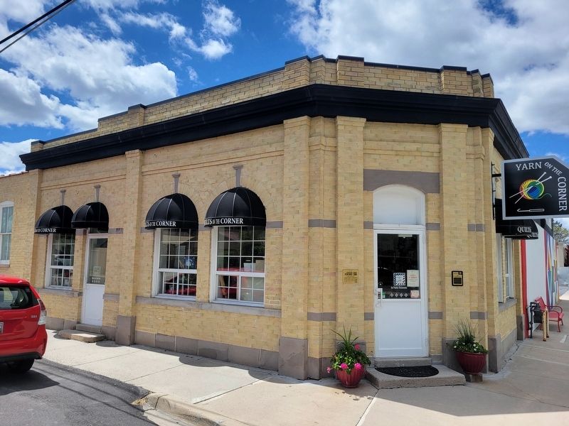
This one-part block commercial structure was built in 1907 in the Second Renaissance Revival style inspired by various Italian buildings and often employed to convey a sense of simplicity and order. Such a design was considered appropriate for the dignified business of banking.
In the first half of the twentieth century, Sandy's economy was changing from mining and small farms to a more diversified economy. During this time the bank held the largest deposits of any bank in the southern Salt Lake Valley. The bank contributed to the economic stability of the city by keeping funds in the community and by employing a number of Sandy residents.
Erected 1997 by Utah Division of State History.
Topics. This historical marker is listed in this topic list: Industry & Commerce. A significant historical year for this entry is 1907.
Location. 40° 35.58′ N, 111° 53.046′ W. Marker is in Sandy, Utah, in Salt Lake County. It is at the intersection of East Main Street and 220 E on East Main Street. Touch for map. Marker is at or near this postal address: 212 E Main Street, Sandy UT 84070, United States of America. Touch for directions.

Regionally,
this page online
Other nearby markers. At least 8 other markers are within walking distance of this marker: Sandy Co-op (about 500 feet away, measured in a direct line); ZCMI Co-op Building 1890-1908 / Sandy Co-op (about 500 feet away); Church Takes Root in Sandy / Early Sandy Schools (about 600 feet away); Sandy Elementary (about 700 feet away); Mary Ellen Parmley House (approx. 0.2 miles away); Sandy Tithing Office (approx. 0.2 miles away); Amos and Ida Jensen House (approx. 0.2 miles away); Sandy-Alta Railroad (approx. 0.3 miles away). Touch for a list and map of all markers in Sandy.
Photographed by Jeremy Snow, May 8, 2024
2. Sandy City Bank Marker
Credits. This page was last revised on May 9, 2024. It was originally submitted on May 9, 2024, by Jeremy Snow of Cedar City, Utah. This page has been viewed 286 times since then and 37 times this year. Photos: 1, 2. submitted on May 9, 2024, by Jeremy Snow of Cedar City, Utah. • Andrew Ruppenstein was the editor who published this page.
