Batignolles in Paris in Département de Paris, Île-de-France, France — Western Europe
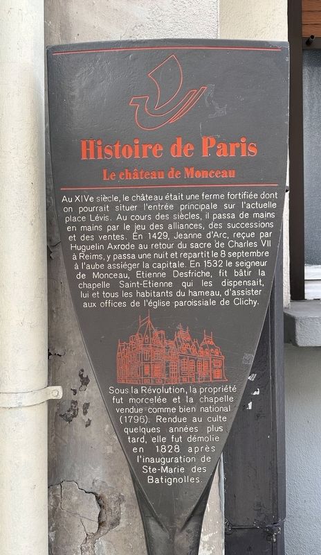
La château de Monceau
| — | Histoire de Paris | — |
Photographed by Andrew Ruppenstein, March 24, 2024
1. La château de Monceau Marker

In the 14th century, the castle was a fortified farm whose main entrance could be located on what is now Place Lévis. Over the centuries, it passed from hand to hand through alliances, inheritances and sales. In 1429, Joan of Arc, received by Huguelin Axrode on his return from the coronation of Charles VII in Reims, spent a night there and left on September 8 at dawn to besiege the capital. In 1532 the lord of Monceau, Etienne Desfriche, had the Saint-Etienne chapel built which exempted him and all the inhabitants of the hamlet from attending services in the parish church of Clichy. Under the Revolution, the property was divided up and the chapel sold as national property (1796). Returned to worship a few years later, it was demolished in 1828 after the inauguration of Ste-Marie des Batignolles.
Erected by Ville de Paris.
Topics and series. This historical marker is listed in this topic list: Notable Places. In addition, it is included in the Histoire de Paris series list. A significant historical year for this entry is 1429.
Location. 48° 53.035′ N, 2° 18.822′ E. Marker
this page online

Regionally, it is in the North Atlantic Region, Europe, the European Union, Atlantic Europe, the Schengen Area, Western Europe, a coastal Mediterranean country, and the Western World. Historically, it finds itself in what was once a French colony and also the Roman Empire.
Other nearby markers. At least 8 other markers are within walking distance of this marker: Albert Roussel (within shouting distance of this marker); Joseph Denais (about 90 meters away, measured in a direct line); Maxime Fabert (about 90 meters away); Elena Theodorini and l’Académie Lyrique Roumaine (about 120 meters away); École Rue de Sassure Deported Jewish Students Memorial (about 180 meters away); Louis Armand (about 180 meters away); Fers / Irons (approx. 0.2 kilometers away); Charles Gounod (approx. 0.2 kilometers away). Touch for a list and map of all markers in Paris.
Additional keywords. panneau
Photographed by Andrew Ruppenstein, March 24, 2024
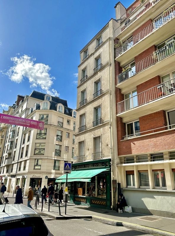
2. La château de Monceau Marker - wide view
The marker is visible here in the shadows, to the right of the green awning and next to the seated woman.
Rigaud, Collections d’Arte et d’Histoire E.S.
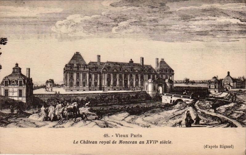
3. La Château royale de Monceau - 17th C.
Charles Le Brun (courtesy of the Getty Center)
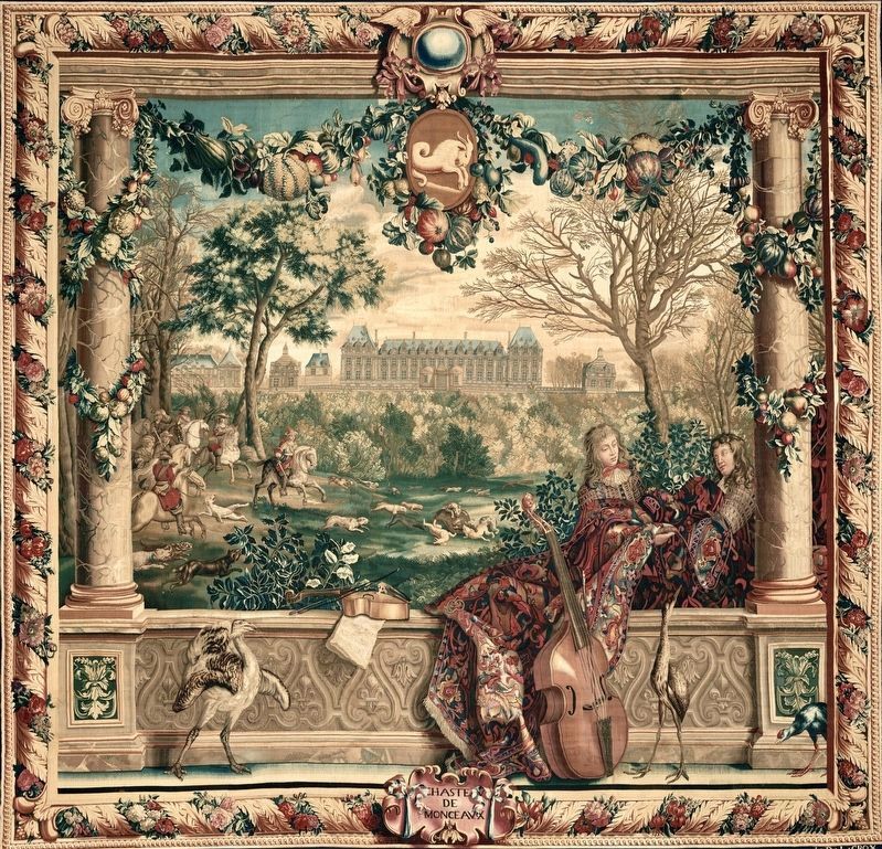
4. La Château de Monceau - tapestry (before 1712)
This is one of a series of twelve tapestries, each of which shows an astrological sign for a month with a French royal palace in the background. The month of December shows the Château of Monceaux (demolished in 1799, during the French Revolution) through the bare trees. On the left, Louis XIV leads a hunting party with horsemen and hounds after a wild boar. In the center of the top border, the astrological sign of Capricorn hangs between garlands of winter fruit and vegetables….The Getty
Credits. This page was last revised on April 24, 2025. It was originally submitted on May 12, 2024, by Andrew Ruppenstein of Lamorinda, California. This page has been viewed 307 times since then and 65 times this year. Photos: 1, 2, 3, 4. submitted on May 12, 2024, by Andrew Ruppenstein of Lamorinda, California.
