Woodstock in Shenandoah County, Virginia — The American South (Mid-Atlantic)
1660 Northern Neck Proprietary

Photographed by Allen C. Browne, May 13, 2024
1. 1660 Northern Neck Proprietary Marker
Across the ocean, the second English Civil War was at its climax. The “Northern Neck Proprietary” was created as a political payoff to allies of the exiled King Charles Il of England. In all it was over 5 million acres between the Potomac and Rappahannock Rivers.
Over time, the entire parcel ended up in the hands of two people: Sir Thomas Culpepper and his cousin Alexander Culpepper, neither of whom ever set foot there. When they died, Sir Thomas's Widow and daughter, Margaret and Catherine inherited the land.
The land came into Fairfax hands when Catherine married Thomas, 5th Lord Fairfax. Their son Thomas 6th inherited his grandmother's portion of the grant. When Thomas 5th died his son was only 12, and Catherine, unhappy with her husband's management and distrustful of her son's ability, controlled the estate for 20 years.
Lord Fairfax
this page online
At Catherine's death, Thomas 6th became the sole owner. When Carter died Fairfax was stunned to learn the extent of the wealth generated for the Carter family off of Fairfax land. He hired his cousin William Fairfax around 1733 to survey the land. A decade later, after multiple surveys, a lawsuit or two, and much debate, the boundaries were decided. Lord Fairfax eventually settled not far from here and lived out his days in the simple manor home at Geenwav Court.
Erected by Seven Bends State Park.
Topics. This historical marker is listed in this topic list: Settlements & Settlers. A significant historical year for this entry is 1733.
Location. 38° 52.258′ N, 78° 29.616′ W. Marker is in Woodstock, Virginia, in Shenandoah County. It is on Lupton Road. Marker is in Seven Bends State Park at the parking lot near the Lupton Road entrance. Touch for map. Marker is at or near this postal address: 997 Lupton Rd, Woodstock VA 22664, United States of America. Touch for directions.

Regionally,
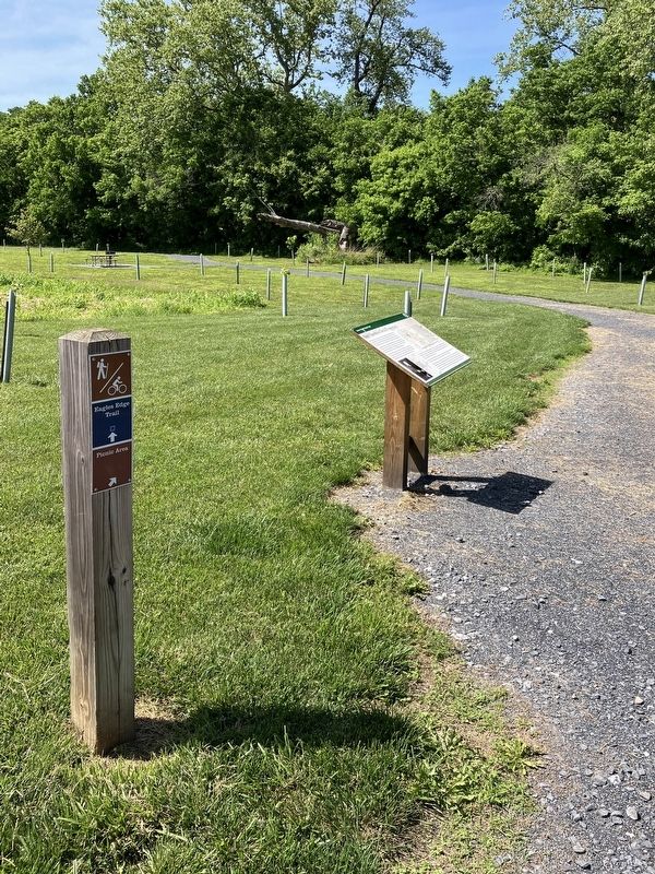
Photographed by Allen C. Browne, May 13, 2024
2. 1660 Northern Neck Proprietary Marker
Other nearby markers. At least 8 other markers are within walking distance of this marker: St. Paul's Reformed Church (approx. 0.8 miles away); Ardent Abolitionist (approx. 0.8 miles away); Reformed Church in the United States (approx. 0.9 miles away); Mt. Zion Methodist Church (approx. 0.9 miles away); Welcome to Woodstock's Lovework (approx. 0.9 miles away); Massanutten Military Academy (approx. one mile away); Massanutten Academy (approx. one mile away); Lest We Forget (approx. one mile away). Touch for a list and map of all markers in Woodstock.

Photographed by Wikipedia
3. Thomas, 6th Lord Fairfax
By Unidentified painter - Pulliam Ted (2011) Historic Alexandria: An Illustrated History, San Antonio: Historical Pub. Network (HPN) Books, p. 9.
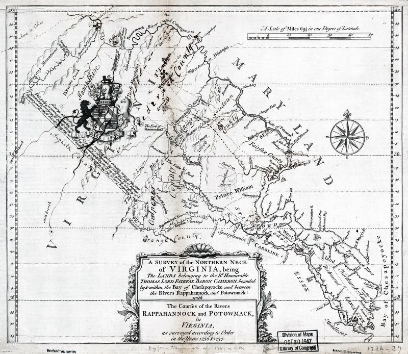
Library of Congress
4. The Northern Neck
Long before European colonizers arrived, the Seven Bends of the Shenandoah were settled by Indigenous peoples and cultures. It's important to recognize that the rights of the Native Americans were dismissed. Throughout the 17th and 18th centuries Europeans state they owned the land through “right of
discovery,” “right of conquest,” or treaties in order to extinguish Indigenous peoples claims on the land.
Map: Library of Congress
Map: Library of Congress
Credits. This page was last revised on May 18, 2024. It was originally submitted on May 17, 2024, by Allen C. Browne of Silver Spring, Maryland. This page has been viewed 435 times since then and 62 times this year. Photos: 1, 2, 3, 4. submitted on May 17, 2024, by Allen C. Browne of Silver Spring, Maryland.
