
Arrow Rock in Saline County, Missouri — The American Midwest (Upper Plains)
Godsey's Diggings
Arrow Rock State Historic Site

Photographed by Jason Voigt, May 14, 2024
1. Godsey's Diggings Marker
The Arrow Rock Board of Trustees appropriated $300 dollars"…for the grading and clearing out of that part of Main street lying nearest the Missouri river, as expressed in contract between Godsey, Town, Trustees & Citizens" on June 1, 1842. Burton Godsey, a stone mason and veteran of the War of 1812, was the project contractor.
Records show periodic payments of $5 to $50 made to "B. Godsey." Godsey moved to Carroll County in 1844, but his name remained on the excavation known as "Godsey's Diggings." After two years' work, the project was left incomplete. A committee was appointed on April 14, 1857, "…to examine the practicability of opening the street through Godsey's diggings…" The grade was too steep to be practical. With a hint of sarcasm, the Marshall Weekly Democrat reported on July 14, 1858:
"The work at Godsey's diggings goes on slowly. The contractors
this page online
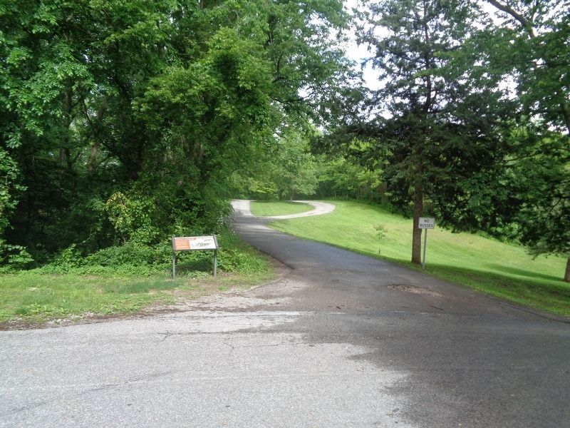
Work was discontinued shortly thereafter, leaving this brush-filled ravine. The Civil War (1861-1865) disrupted local commerce and the ensuing decline of steamboat traffic made access to the river less important.
Erected by Missouri State Parks.
Topics. This historical marker is listed in this topic list: Industry & Commerce. A significant historical date for this entry is April 14, 1857.
Location. 39° 4.224′ N, 92° 56.586′ W. Marker is in Arrow Rock, Missouri, in Saline County. It is at the intersection of Main Street and 1st Street, on the right when traveling north on Main Street. Touch for map. Marker is at or near
Photographed by Jason Voigt, May 14, 2024
2. Godsey's Diggings Marker

Regionally, this marker is in the Missouri River Corridor. It is also in the American Midwest, in the Lewis & Clark Corridor, in the Corn Belt, and on the Santa Fe Trail Corridor. Globally, it is in North America, the Western Hemisphere, the Western World, and the Anglosphere. Historically, it finds itself in what was once the territory of the Mississippian Culture, the Louisiana Purchase, and the Antebellum South.
Other nearby markers. At least 8 other markers are within walking distance of this marker: George Caleb Bingham Home (within shouting distance of this marker); Arrow Rock and the River (about 300 feet away, measured in a direct line); The Lewis and Clark Expedition Across Missouri (about 300 feet away); Sappington Memorial Building (about 300 feet away); Arrow Rock River Landing: Developing a Town and a Country (about 400 feet away); Calaboose (about 400 feet away); Arrow Rock (about 400 feet away); J. Huston Tavern (about 600 feet away). Touch for a list and map of all markers in Arrow Rock.
Credits. This page was last revised on May 17, 2024. It was originally submitted on May 17, 2024, by Jason Voigt of Glen Carbon, Illinois. This page has been viewed 398 times since then and 52 times this year. Photos: 1, 2. submitted on May 17, 2024, by Jason Voigt of Glen Carbon, Illinois.
