Near Nelson in Saline County, Missouri — The American Midwest (Upper Plains)
The Sanders A.H. Townsend House
1860
Photographed by Jason Voigt, May 14, 2024
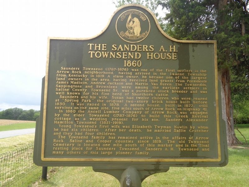
1. The Sanders A.H. Townsend House Marker
Saunders and his wife, Susan had twelve children who were reared at "Spring Park" the original two-story brick house built before 1830. It was razed in 1878. A second house, built in 1877, still survives on the same site, five miles south of Arrow Rock on Highway 41.
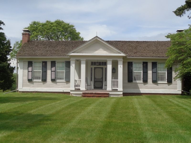
In 1860 the Ancell Lumber Company of Arrow Rock was engaged by the elder Townsend (1787-1876) to build this Greek Revival cottage as a wedding present for his son. Sanders Alexander Hamilton Townsend (1821-1919).
Young Townsend's first wife was Elizabeth Twyman Nowlin by whom he had six children. After her death, he married Sallie Crutcher and they
this page online
The Townsend family has remained active in the affairs of Arrow Rock, Saline and Cooper counties since 1819. The old Townsend Cemetery is located one mile south of this marker and is the final resting place for Saunders Townsend, Sanders A.H. Townsend and many others of this large pioneer family.
Erected by Friends of Arrow Rock Inc.
Topics. This historical marker is listed in these topic lists: Architecture • Settlements & Settlers. A significant historical year for this entry is 1819.
Location. 39° 2.513′ N, 92° 59.765′ W. Marker is near Nelson, Missouri, in Saline County. It is on Missouri Route TT west of Pin Oak Lane, on the right when traveling south. Touch for map. Marker is at or near this postal address: 36769 Co Rd TT, Nelson MO 65347, United States of America. Touch for directions.

Regionally, this marker is in the Missouri River Corridor. It is also in the American Midwest, in the Lewis & Clark Corridor, in the Corn Belt, and on the Santa Fe Trail Corridor. Globally, it is in North America, the Western Hemisphere, the Western World, and the Anglosphere. Historically, it finds itself
Photographed by Jason Voigt, May 14, 2024
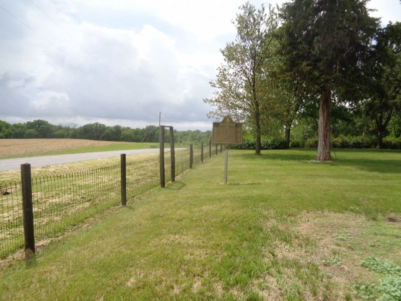
2. The Sanders A.H. Townsend House Marker
Other nearby markers. At least 8 other markers are within 2 miles of this marker, measured as the crow flies: Brownlee School (approx. half a mile away); "Prairie Park" (approx. 0.6 miles away); Sappington Cemetery State Historic Site (approx. 0.9 miles away); a different marker also named Sappington Cemetery State Historic Site (approx. 0.9 miles away); Sappington Negro Cemetery (approx. 1.1 miles away); Enslavement to Freedom (approx. 1.2 miles away); Sappington African American Cemetery Burials (approx. 1.2 miles away); Segregation in Life and Death (approx. 1.2 miles away). Touch for a list and map of all markers in Nelson.
More about this marker. Marker text repeats on both sides.
Photographed by Jason Voigt, May 14, 2024
3. The Sanders A.H. Townsend House
Credits. This page was last revised on May 17, 2024. It was originally submitted on May 17, 2024, by Jason Voigt of Glen Carbon, Illinois. This page has been viewed 628 times since then and 105 times this year. Photos: 1, 2, 3. submitted on May 17, 2024, by Jason Voigt of Glen Carbon, Illinois.
