Near Boonville in Cooper County, Missouri — The American Midwest (Upper Plains)
The Journey of Lewis & Clark: de Bourgmont Access
Photographed by Jason Voigt, May 14, 2024
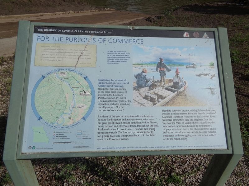
1. The Journey of Lewis & Clark: de Bourgmont Access Marker
For the Purposes of Commerce
Exploring for economic opportunities, Lewis and Clark found farming, trading for furs and mining as the three main sources of income in the Louisiana Purchase region. President Thomas Jefferson's goals for the expedition included searching out all prospects "for the purposes of commerce."
Residents of the new territory farmed for subsistence because food supplies and markets were too far away, but great profit could be made in trading for furs. Beaver, mink, raccoon and otter were found throughout the land. Small traders would invest in merchandise then travel upstream to trade. The furs were pressed into 80-to-100 pound bales and transported back to St. Louis for sale to the European market.
The third source of income, mining for metals or ores, was also a strong interest. From the French, Lewis and Clark had learned of locations on the Missouri River with large amounts of lead one or galena. One site was near the Mine or Lamine River. Most likely, the information came from Etienne de Bourgmont's 1714 report as he explored the Missouri River. These and other natural resources would
this page online
(photo caption:)
As Lewis and Clark traveled upstream, they met traders bound for St. Louis with a cargo of furs. Beaver and other furs were prized in Europe, making a fur trader's life very profitable, although often dangerous.
(side quote:)
8th of June, Friday 1804
…passed the Mine River at 9ms…The french inform that Lead Ore has been found in different parts of this river…we met 3 men on a Cajaux from the River of the Soux above the Mahar (or Omaha) nation those men had been hunting 12 mo: & made about 900$ in pelts & furs
William Clark
Erected by Lewis & Clark Bicentennial Commission and Missouri Conservation Department.
Topics and series. This historical marker is listed in these topic lists: Exploration • Industry & Commerce. In addition, it is included in the Lewis & Clark Expedition series list. A significant historical year for this entry is 1714.
Location. 38° 56.479′ N, 92° 52.309′ W. Marker is near Boonville, Missouri, in Cooper County. It can be reached from Missouri 41 (Missouri Route 41). To access
Photographed by Jason Voigt, May 14, 2024
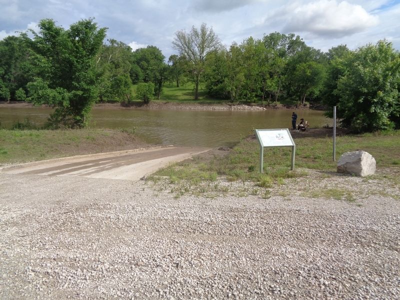
2. The Journey of Lewis & Clark: de Bourgmont Access Marker
Lamine River is in the background

Regionally, this marker is in the Missouri River Corridor. It is also in the American Midwest, in the Lewis & Clark Corridor, in the Corn Belt, and on the Santa Fe Trail Corridor. Globally, it is in North America, the Western Hemisphere, the Western World, and the Anglosphere. Historically, it finds itself in what was once the territory of the Mississippian Culture, the Louisiana Purchase, and the Antebellum South.
Other nearby markers. At least 8 other markers are within 7 miles of this marker, measured as the crow flies: History of Pilot Grove (approx. 5 miles away); Pilot Grove to Boonville (approx. 5 miles away); Early Travel Route (approx. 5 miles away); Pilot Grove to Clifton City (approx. 5 miles away); Pilot Grove - 1873 (approx. 5.1 miles away); The Harriman Millstone (approx. 5.1 miles away); Boone's Lick Country (approx. 6.4 miles away); Water Highway (approx. 6.4 miles away). Touch for a list and map of all markers in Boonville.
Credits. This page was last revised on November 22, 2024. It was originally submitted on May 19, 2024, by Jason Voigt of Glen Carbon, Illinois. This page has been viewed 522 times since then and 70 times this year. Photos: 1, 2. submitted on May 19, 2024, by Jason Voigt of Glen Carbon, Illinois.
