Avery Island in Iberia Parish, Louisiana — The American South (West South Central)
The Survey Tree

Photographed by Barry Swackhamer, April 26, 2023
1. The Survey Tree Marker
Topics. This historical marker is listed in these topic lists: Horticulture & Forestry • Landmarks. A significant historical date for this entry is October 9, 1810.
Location. 29° 54.444′ N, 91° 55.041′ W. Marker is on Avery Island, Louisiana, in Iberia Parish. It can be reached from Main Road. The marker is located in Jungle Gardens on a foot path near the Buddhist Temple. Touch for map. Marker is in this post office area: Avery Island LA 70513, United States of America. Touch for directions.

Regionally, this marker is in Acadiana — Cajun Country and specifically in Bayou Country. It is also in the American South, specifically in the Deep South, and on the Gulf Coast. Globally, it is in North America, a Gulf of Mexico state, the Western Hemisphere, the Western World, and the Anglosphere. Historically, it finds
this page online
Other nearby markers. At least 8 other markers are within walking distance of this marker: The Cleveland Oak (within shouting distance of this marker); Buddha (about 500 feet away, measured in a direct line); This Buddah (about 500 feet away); This Buddha (about 500 feet away); Boat House (approx. 0.2 miles away); Sunken Gardens (approx. ¼ mile away); Bird City (approx. 0.3 miles away); McIlhenny (approx. 0.3 miles away). Touch for a list and map of all markers in Avery Island.
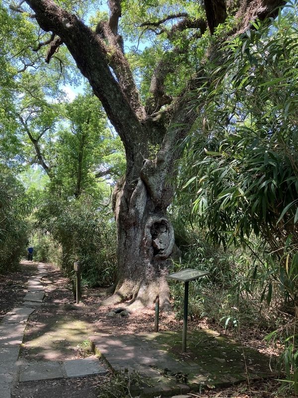
Photographed by Barry Swackhamer, April 26, 2023
2. The Survey Tree Marker
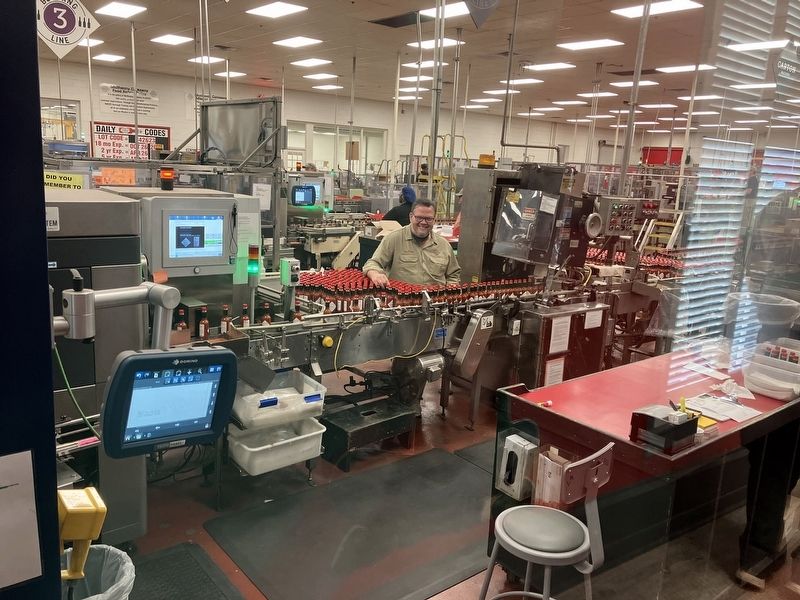
Photographed by Barry Swackhamer, April 26, 2023
3. Bottling the Island's Hot Sauce.
Credits. This page was last revised on May 21, 2024. It was originally submitted on May 21, 2024, by Barry Swackhamer of Brentwood, California. This page has been viewed 445 times since then and 44 times this year. Photos: 1, 2, 3. submitted on May 21, 2024, by Barry Swackhamer of Brentwood, California.
