Near Estelle in Jefferson Parish, Louisiana — The American South (West South Central)
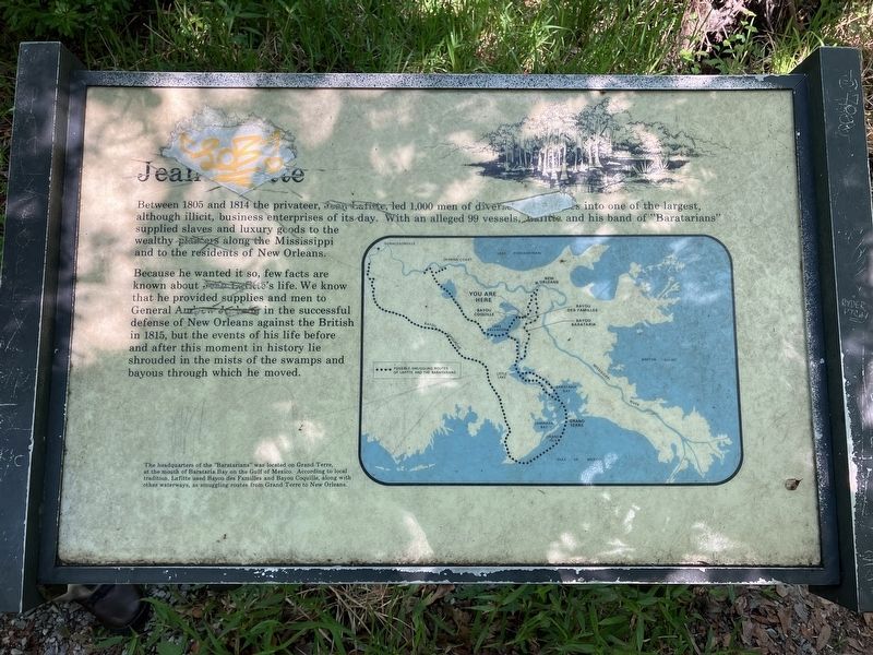
Jean Lafitte
Photographed by Barry Swackhamer, April 30, 2023
1. Jean Lafitte Marker
Because he wanted it so, few facts are known about Jean Lafitte's life. We known that he provided supplies and men to General Andrew Jackson in the successful defense of New Orleans against the British in 1815, but the events of his life before and after this moment in history lie shrouded in the mists of the swamps and bayous through which he move.
Erected by National Park Service.
Topics. This historical marker is listed in this topic list: Industry & Commerce. A significant historical year for this entry is 1805.
Location. 29° 47.621′ N, 90° 7.42′ W. Marker is near Estelle, Louisiana, in Jefferson Parish. It can be reached from Baratania Road (Parish Highway 45) near Lafitte Parkway (Parish Highway 3134). The marker is located on the Bayou Coquille Trail in Jean Lafitte
this page online

Regionally, this marker is in one of the River Parishes and in Greater New Orleans. It is also in the American South, specifically in the Deep South, and on the Gulf Coast. Globally, it is in North America, a Gulf of Mexico state, the Western Hemisphere, the Western World, and the Anglosphere. Historically, it finds itself in what was once New Spain, the territory of the Mississippian Culture, the Louisiana Purchase, one of the Confederate States of America, and the Antebellum South.
Other nearby markers. At least 8 other markers are within 8 miles of this marker, measured as the crow flies: Sinking Land, Rising Water (approx. 0.8 miles away); Poblacion de Barataria (approx. 1.2 miles away); Barataria Preserve (approx. 1.8 miles away); Town of Jean Lafitte (approx. 2.7 miles away); Manila Village (approx. 4.1 miles away); Clark Cheniere (approx. 4.1 miles away); Woodlawn High School and the Struggle for Racial Equality (approx. 6.7 miles away); Mary Plantation

Photographed by Barry Swackhamer, April 30, 2023
2. Jean Lafitte Marker(detail): Map of Jean Lafitte's Smuggling Routes
The headquarters of the "Barbarians" was located on Grand Terre, at the mouth of Barataria Bay on the Gulf of Mexico. According to local tradition, Lafitte used Bayou des Families and Bayou Coquille, along with other waterway, as smuggling routes fro Grand Terre to New Orleans.
Also see . . . Jean Lafitte -- World History Encyclopedia. There were rumours he was buried near Mérida in Mexico, although this may have been his brother. The mysterious end to Lafitte's piracy and the idea that he may have escaped justice for his crimes immediately propelled him to legendary status as one of the last great pirates of the Americas. (Submitted on May 21, 2024, by Barry Swackhamer of Brentwood, California.)
Additional keywords. illicit activities
Photographed by Barry Swackhamer, April 30, 2023
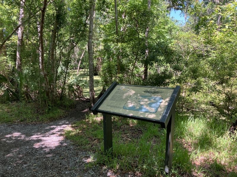
3. Jean Lafitte Marker
Photographed by Barry Swackhamer
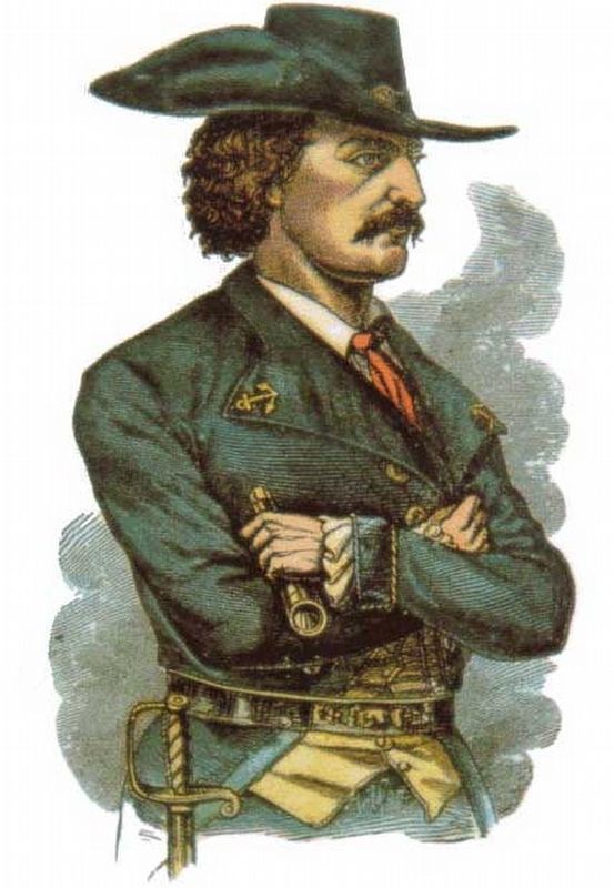
4. An 1879 woodcut of the Pirate Jean Lafitte or Laffite
Credits. This page was last revised on May 29, 2024. It was originally submitted on May 21, 2024, by Barry Swackhamer of Brentwood, California. This page has been viewed 637 times since then and 71 times this year. Photos: 1, 2, 3, 4. submitted on May 21, 2024, by Barry Swackhamer of Brentwood, California.
