
Bronte in Oakville in Halton Region, Ontario — Central Canada (North America)
Yacht Launching in the 1970s
Bronte Creek Trail
Photographed by Tim Boyd, May 20, 2024
1. Yacht Launching in the 1970s Marker
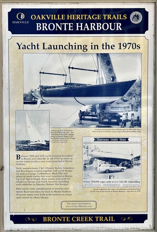
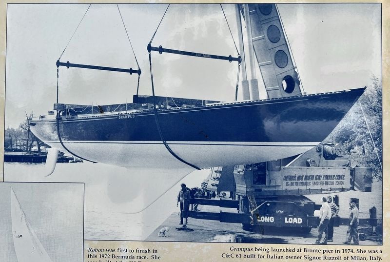
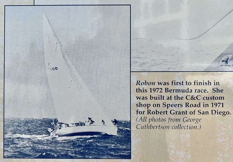
Yacht manufacturers C&C, Ontario Yachts, Grampian and Bruckmann worked together with yacht designers such as George Cuthbertson, Mark Ellis and others to create yachts that were launched at Bronte. Up to 67 feet in length, these yachts were built for owners in Europe and North America, including such celebrities as Maestro Herbert Von Karajan.
Most yachts were manufactured in factories near Speers Road and taken by truck to Bronte Harbour. However, many were built at the harbour in a large shed owned by Metro Marine.
Topics. This historical marker is listed in these topic lists: Industry & Commerce • Waterways & Vessels. A significant historical year for this entry is 1960.
Location. 43° 23.629′ N, 79° 42.533′ W. Marker is in Oakville, Ontario, in Halton Region. It is in Bronte. It is on Bronte Road 0.1 kilometers north of Ontario Street, on the right when traveling east. Touch for map. Marker is at or near this postal address: 32 Bronte Road, Oakville ON L6L L6L, Canada. Touch for directions.

Regionally, this marker is in Greater Toronto, specifically on the Golden Horseshoe, in the Hamilton-Halton-Brant Area, and specifically in the Toronto Metropolitan Area. It is also in Central Canada. Globally, it is in North America, on the Great Lakes, in the Western Hemisphere, in the Western World, and in the Anglosphere. Historically, it finds itself in what was once a British colony, the Viceroyalty of New France, the Haudenosaunee (Iroquois) Confederacy, and Rupert’s Land.
Other nearby markers. At least 8 other markers are within 6 kilometers of this marker, measured as the crow flies: The Stonehookers of Lake Ontario (here,
this page online
Photographed by Tim Boyd, May 20, 2024
2. Yacht Launching in the 1970s Marker
3. Yacht Launching in the 1970s marker photo detail
courtesy of the George Cuthbert Collection, 1970s
4. Yacht Launching in the 1970s marker photo detail
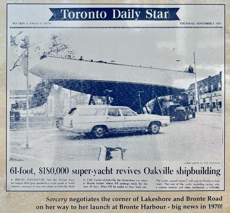
courtesy of the Toronto Daily Star, 1970s
5. Yacht Launching in the 1970s marker photo detail
Credits. This page was last revised on May 25, 2024. It was originally submitted on May 22, 2024, by Tim Boyd of Hamilton, Ontario. This page has been viewed 122 times since then and 12 times this year. Photos: 1, 2, 3, 4, 5. submitted on May 22, 2024, by Tim Boyd of Hamilton, Ontario. • Andrew Ruppenstein was the editor who published this page.
