Wythe in Hampton, Virginia — The American South (Mid-Atlantic)
Wythe's Birthplace
Photographed by Bill Coughlin, August 11, 2008
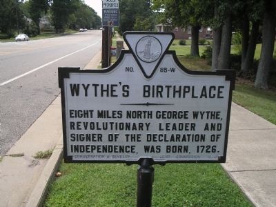
1. Wythe’s Birthplace Marker
Eight miles north George Wythe, Revolutionary Leader and signer of the Declaration of Independence, was born, 1726.
Erected 1928 by Conservation & Development Commission. (Marker Number 85-W.)
Topics and series. This historical marker is listed in this topic list: War, US Revolutionary. In addition, it is included in the Signers of the Declaration of Independence, and the Virginia Department of Historic Resources (DHR) series lists. A significant historical year for this entry is 1726.
Location. This marker has been replaced by another marker nearby. It was located near 37° 0.477′ N, 76° 21.584′ W. Marker was in Hampton, Virginia. It was in Wythe. It was at the intersection of LaSalle Avenue and Kecoughtan Road (U.S. 60), on the right when traveling south on LaSalle Avenue. Touch for map. Marker was in this post office area: Hampton VA 23661, United States of America. Touch for directions.

Regionally, this marker was on Virginia’s Peninsula and in Coastal Virginia. It was also in the American South, specifically in the Upper South, in the Tidewater, and on the Eastern Seaboard. Globally, it was in the North
this page online
Other nearby markers. At least 8 other markers are within walking distance of this location: Birthplace of George Wythe (here, next to this marker); Chesterville (a few steps from this marker); First Church at Kecoughtan (approx. 0.2 miles away); Battle of Hampton Roads (approx. 0.4 miles away); Stalemate in Hampton Roads (approx. 0.4 miles away); Fertile Hunting Grounds For The Indians (approx. 0.4 miles away); The Development Of Olde Wythe (approx. half a mile away); Little England Chapel (approx. half a mile away). Touch for a list and map of all markers in Hampton.
Another marker is no longer nearby. First Battle of Ironclads (was approx. 0.4 miles away but has been replaced with another marker now near it).
Related marker. Click here for another marker that is related to this marker. New Marker At This Location titled
via National Register of Historic Places, 1905
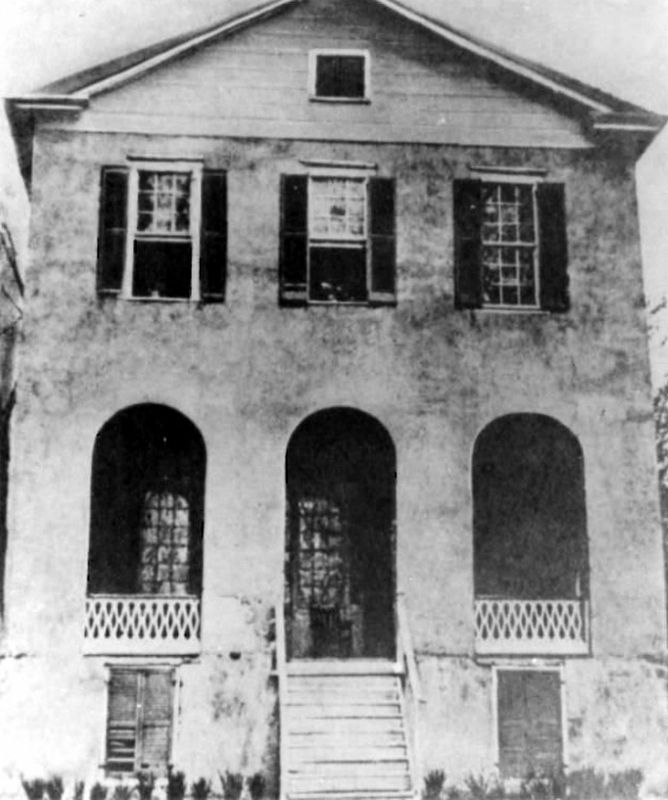
2. Chesterfield, south facade, 1905
The plantation house burned in 1911.
Also see . . .
1. Chesterville Site. Virginia Department of Historic Resources entry on Geroge Wythe's birthplace.
2. Biography of George Wythe. Colonial Williamsburg website. (Submitted on August 23, 2008, by Bill Coughlin of Woodland Park, New Jersey.)
Photographed by Bill Coughlin, August 11, 2008
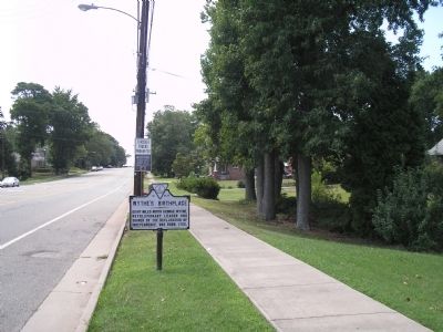
3. Wythe’s Birthplace Marker
Internet Archive
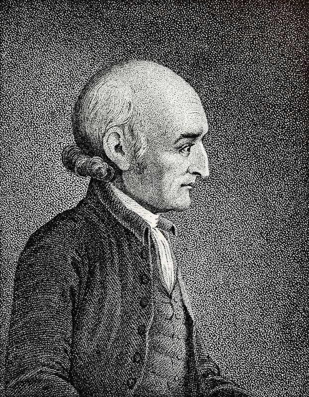
4. George Wythe
From The Magazine of American History, Vol. XIII, No. 4, April 1885.
Credits. This page was last revised on January 11, 2025. It was originally submitted on August 23, 2008, by Bill Coughlin of Woodland Park, New Jersey. This page has been viewed 1,625 times since then and 51 times this year. Last updated on May 27, 2024, by Kathy Dennehey of Newport News, Virginia. Photos: 1. submitted on August 23, 2008, by Bill Coughlin of Woodland Park, New Jersey. 2. submitted on January 11, 2025, by Larry Gertner of New York, New York. 3. submitted on August 23, 2008, by Bill Coughlin of Woodland Park, New Jersey. 4. submitted on October 27, 2020, by Allen C. Browne of Silver Spring, Maryland. • Bernard Fisher was the editor who published this page.
