Boonville in Cooper County, Missouri — The American Midwest (Upper Plains)
Boonville Depot
Photographed by Jason Voigt, May 14, 2024
1. Boonville Depot Marker
An MKT architect known only by his initials "HJB" designed the mission-style depots. Iron rails supported the concrete floor, and ciders and dirt provided fill to level the ground. Boonville's Cochran Construction Co. did much of the fill work. Bricks for the archways and paving came from Coffeyville, Kan. The depot's color scheme of light green trimmed with dark green was standard for many MKT structures.
In the hayday of railroads, the depot became Boonville's transportation and communication hub. Trains
this page online
The railroad help change commerce from local transactions to national and global trade. It removed the isolation of small communities and increased mobility for Americans. But with the rise of the automobile, train travel gradually declined. The last two passenger trains through Boonville southbound NO. 5 and northbound NO.6 made their final runs on May 1, 1958. The last train to pass in front of the depot was in 1986.
With time, this icon of Boonville's railroad era began to decay. The Missouri Department of Natural Resources acquired the depot along with interim use of the MKT corridor in 1987 to be developed as Katy Trail State park. Citizens of Boonville lobbied for restoration of the depot and helped raise money. The restored depot opened again in 1997. Today, it is the home to the Boonville Chamber of Commerce.
Erected by Missouri Department of
Photographed by Jason Voigt, May 14, 2024
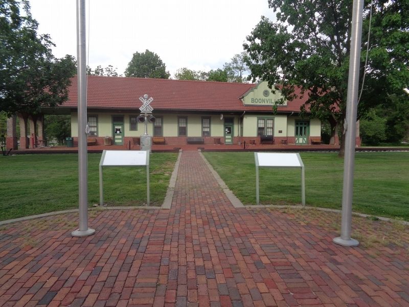
2. Boonville Depot Marker
Marker is on the right, in front of the Boonville Visitors Center (formerly a depot)
Topics and series. This historical marker is listed in these topic lists: Architecture • Railroads & Streetcars. In addition, it is included in the Katy Trail State Park series list. A significant historical date for this entry is May 31, 1873.
Location. 38° 58.492′ N, 92° 44.998′ W. Marker is unreadable. Marker is in Boonville, Missouri, in Cooper County. It is on 1st Street north of Spring Street, on the right when traveling north. Marker is in front of the Boonville Visitors Center. Touch for map. Marker is at or near this postal address: 320 1st St, Boonville MO 65233, United States of America. Touch for directions.

Regionally, this marker is in the Missouri River Corridor. It is also in the American Midwest, in the Lewis & Clark Corridor, in the Corn Belt, and on the Santa Fe Trail Corridor. Globally, it is in North America, the Western Hemisphere, the Western World, and the Anglosphere. Historically, it finds itself in what was once the territory of the Mississippian Culture, the Louisiana Purchase, and the Antebellum South.
Other nearby markers. At least 8 other markers are within walking distance of this location: The End of the Line (here, next to this marker); "Caboose #134" (a few steps from this marker); History of Boonville (about 500 feet away, measured in a direct line); Boonville to New Franklin (about 500 feet away); From Boone's Lick to Boonslick (about 500 feet away); Boonville to Pilot Grove (about 500 feet away); 25th Anniversary (about 500 feet away); High Street Office Building (approx. 0.3 miles away). Touch for a list and map of all markers in Boonville.
Credits. This page was last revised on May 28, 2024. It was originally submitted on May 28, 2024, by Jason Voigt of Glen Carbon, Illinois. This page has been viewed 481 times since then and 78 times this year. Photos: 1, 2. submitted on May 28, 2024, by Jason Voigt of Glen Carbon, Illinois.
Editor’s want-list for this marker. a photo of the marker before it faded • Can you help?
