Claquato Cemetery near Chehalis in Lewis County, Washington — The American West (Northwest)
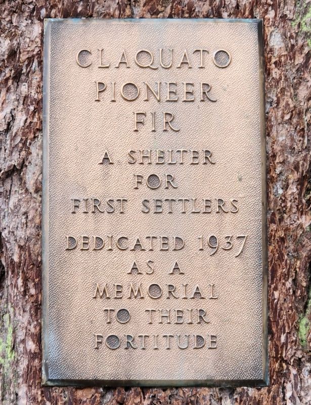
Claquato Pioneer Fir
Photographed by Shirley A Stirling, May 23, 2024
1. Claquato Pioneer Fir Marker
A shelter for first settlers
Dedicated 1937 as a memorial to their fortitude
Erected 1937.
Topics and series. This historical marker is listed in this topic list: Settlements & Settlers. In addition, it is included in the Historic Trees series list. A significant historical year for this entry is 1937.
Location. 46° 38.768′ N, 123° 1.398′ W. Marker is near Chehalis, Washington, in Lewis County. It is in Claquato Cemetery. It is on Chilvers Road. Is on the first tree. Touch for map. Marker is at or near this postal address: 185 Chilvers Road, Chehalis WA 98532, United States of America. Touch for directions.

Regionally, this marker is in Southwest Washington State. It is also on the American Pacific Coast, in the Pacific Northwest, and in the Lewis & Clark Corridor. Globally, it is in North America, in the Cascade Range, on the Ring of Fire, on the Pacific Rim, in the Western Hemisphere, in the Western World, and in the Anglosphere.
Other nearby markers. At least 8 other markers are within 12 miles of this marker, measured as the crow flies: Claquato (approx. ¼ mile away); Claquato Church (approx. ¼ mile
this page online
Additional commentary.
1. Pioneers
This plaque refers to the pioneers of the Oregon Trail. The Oregon Trail extended North of Oregon into what is now Washington state. This part of the trail is also referred to as the Cowlitz Trail.
— Submitted May 29, 2024, by Shirley A Stirling of Lacey, Washington.
Photographed by Shirley A Stirling, May 23, 2024
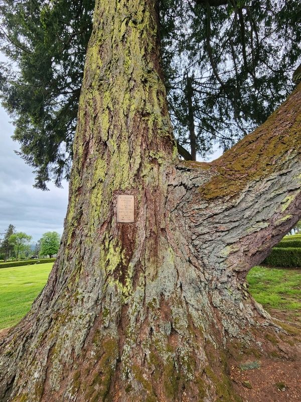
2. Claquato Pioneer Fir Marker
Photographed by Shirley A Stirling, May 23, 2024
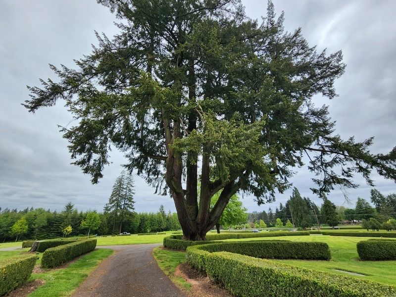
3. Claquato Pioneer Fir Marker
Credits. This page was last revised on May 29, 2024. It was originally submitted on May 29, 2024, by Shirley A Stirling of Lacey, Washington. This page has been viewed 337 times since then and 48 times this year. Photos: 1, 2, 3. submitted on May 29, 2024, by Shirley A Stirling of Lacey, Washington. • Andrew Ruppenstein was the editor who published this page.
