Tewkesbury in Gloucestershire, England, United Kingdom — Northwestern Europe (the British Isles)
Tewkesbury Abbey
A Norman Abbey
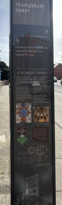
Photographed by Ray Gurganus, April 5, 2024
1. Tewkesbury Abbey Marker
The Abbey was built of local Cotswold limestone, which scientific research shows was quarried at nearby Cleeve Hill. At the time of the dissolution - when Henry VIII closed England's monastaries and destroyed many of the buildings associated with them - the Abbey was made up of a large variety of buildings.
Tewkesbury's was one of the last monasteries to be closed, in 1540. The Abbey church was saved, except for the Lady Chapel, by the people of the town who paid £483 for it, the value of the lead on its roof. Almost everything else was demolished on the King's orders, but part of the Abbey's original boundary wall still survives and can be seen in the Victoria Gardens.
Sales of the monastery's former property in the town provided economic growth and many properties were repaired, improved, or rebuilt. Many houses in Tewkesbury date from the late 16th century.
Topics. This historical marker is listed in this topic list: Religion & Religious Structures. A significant historical year for this entry is 1102.
Location. 51° 59.455′ N,
this page online

Regionally, this marker is in South West England. Globally, it is on the Atlantic Ocean, in the North Atlantic Region, in Europe, in Atlantic Europe, on one of the British Isles, in the Western World, and in the Anglosphere. Historically, it finds itself in what was once the Roman Empire.
Other nearby markers. At least 8 other markers are within 13 kilometers of this marker, measured as the crow flies: High Street (approx. half a kilometer away); Cheltenham Minster (approx. 11.5 kilometers away); South African War Memorial 1899-1902 (approx. 11.7 kilometers away); Cheltenham War Memorial (approx. 11.7 kilometers away); a different marker also named Cheltenham War Memorial (approx. 11.7 kilometers away); Dr. Edward Adrian Wilson (approx. 11.7 kilometers away); Gustav Holst (approx.
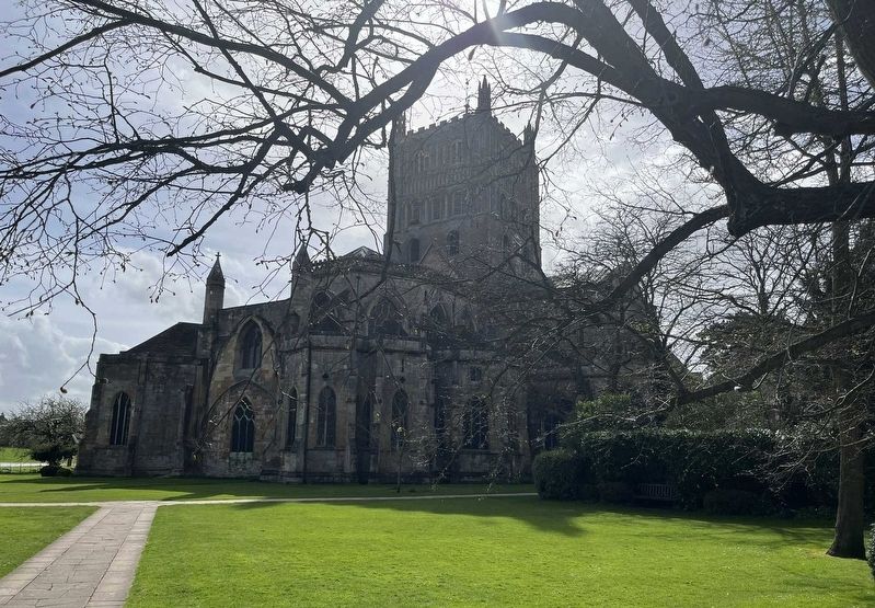
Photographed by Ray Gurganus, April 5, 2024
2. Tewkesbury Abbey
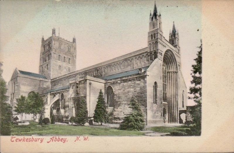
Photographed by Frith’s Series, circa 1905
3. Tewkesbury Abbey
Credits. This page was last revised on June 1, 2024. It was originally submitted on May 29, 2024, by Ray Gurganus of Washington, District of Columbia. This page has been viewed 139 times since then and 15 times this year. Photos: 1, 2. submitted on May 29, 2024, by Ray Gurganus of Washington, District of Columbia. 3. submitted on June 1, 2024. • Andrew Ruppenstein was the editor who published this page.
