Marker Logo
THE HISTORICAL
MARKER DATABASE
“Bite-Size Bits of Local, National, and Global History”
Green Township in South Shore in Greenup County, Kentucky — The American South (East South Central)
 

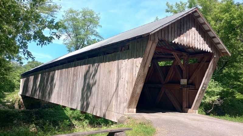
Bennett's Mill Covered Bridge
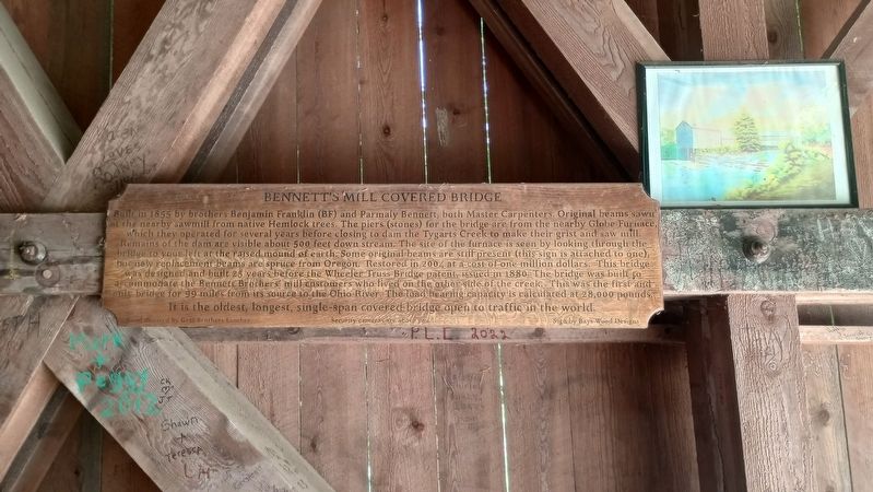
 
 
Bennett's Mill Covered Bridge Marker image. Click for full size.
Photographed by Craig Doda, May 25, 2024
1. Bennett's Mill Covered Bridge Marker
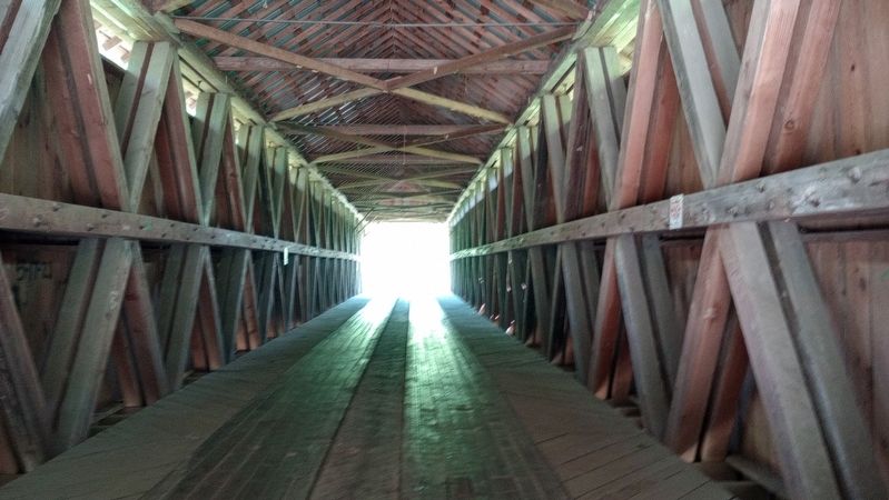
Inscription. Built in 1855 by brothers Benjamin Franklin (BF) and Parmaly Bennett, both Master Carpenters. Original beams sawn at the nearby sawmill from native Hemlock trees. The piers (stones) for the bridge are from the nearby Globe Furnace, which they operated for several years before closing to dam the Tygarts Creek to make their grist and saw mill. Remains of the dam are visible about 500 feet down stream. The site of the furnace is seen by looking through the bridge to your left at the raised mound of earth. Some original beams are still present (this sign is attached to one), but new replacement beams are spruce from Oregon. Restored in 2004 at a cost of one million dollars. This bridge was designed and built 25 years before the Wheeler Truss Bridge patent, issued in 1880. The bridge was built to accommodate the Bennett Brothers' mill customers who lived on the other side of the creek. This was the first and only bridge for 99 miles from its source to the Ohio River. The load bearing capacity is calculated at 28,000 pounds. It is the oldest, longest, single-span covered bridge open to traffic in the world.
 
Topics. This
Paid Advertisement
Click or scan to see
this page online
historical marker is listed in this topic list: Bridges & Viaducts. A significant historical year for this entry is 1855.
 
Location. 38° 37.829′ N, 82° 55.619′ W. Marker is in South Shore, Kentucky, in Greenup County. It is in Green Township. It is at the intersection of Bennetts Mills (Kentucky Route 1215) and Route 7, on the right when traveling east on Bennetts Mills. Touch for map. Marker is at or near this postal address: 28 Bennetts Mls, Greenup KY 41144, United States of America. Touch for directions.

Regionally, this marker is in Kentucky’s Kyova Tri-State Region. It is also in the American South, specifically in the Upper South, in the Ohio River Valley, in Appalachia, and specifically in Southern Appalachia. Globally, it is in North America, the Western Hemisphere, the Western World, and the Anglosphere. Historically, it finds itself in what was once the territory of the Mississippian Culture and also the Antebellum South.

Other nearby markers. At least 8 other markers are within 6 miles of this marker, measured as the crow flies: Ode To Bennett's Mill Bridge (here, next to this marker); Bennett’s Mill Bridge
Bennett's Mill Covered Bridge Marker image. Click for full size.
Photographed by Craig Doda, May 25, 2024
2. Bennett's Mill Covered Bridge Marker
(a few steps from this marker); New Hampshire Furnace / Iron Made in Kentucky (approx. 2½ miles away); Jesse Stuart (1906-1984) (approx. 3.6 miles away); Raccoon Furnace / Iron Made in Kentucky (approx. 6.1 miles away); A Masterful Retreat (approx. 6.1 miles away); County Named, 1803 (approx. 6.1 miles away); Jesse Stuart (approx. 6.1 miles away). Touch for a list and map of all markers in South Shore.
 
Bennett's Mill Covered Bridge Marker image. Click for full size.
Photographed by Craig Doda, May 25, 2024
3. Bennett's Mill Covered Bridge Marker
 
 
Credits. This page was last revised on June 4, 2024. It was originally submitted on May 30, 2024, by Craig Doda of Napoleon, Ohio. This page has been viewed 368 times since then and 26 times this year. Photos:   1, 2, 3. submitted on May 30, 2024, by Craig Doda of Napoleon, Ohio. • James Hulse was the editor who published this page.

m=247650

CeraNet Cloud Computing sponsors the Historical Marker Database.
This website earns income from purchases you make after using our links to Amazon.com. We appreciate your support.
Paid Advertisement
Jul. 12, 2026