Brandon in Minnehaha County, South Dakota — The American Midwest (Upper Plains)
Brandon School
August 13, 2023
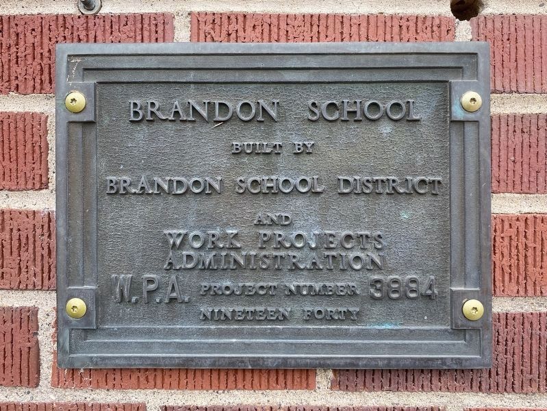
1. Brandon School Marker
built by Brandon School District
and Work Projects Administration
W.P.A. Project Number 3884
Nineteen Forty
Topics and series. This historical marker is listed in these topic lists: Charity & Public Work • Education. In addition, it is included in the Works Progress Administration (WPA) projects series list. A significant historical year for this entry is 1940.
Location. 43° 35.509′ N, 96° 35.097′ W. Marker is in Brandon, South Dakota, in Minnehaha County. It is at the intersection of East Elm Street and South 2nd Avenue, on the left when traveling east on East Elm Street. Touch for map. Marker is at or near this postal address: 412 E Elm St, Brandon SD 57005, United States of America. Touch for directions.

Regionally, this marker is in East River and in Greater Sioux Falls. It is also in the American Midwest, in the Lewis & Clark Corridor, in the Corn Belt, on the prairies, and on the Northern Plains. Globally, it is in North America, the Western Hemisphere, the Western World, and the Anglosphere. Historically, it finds itself in what was once Rupert’s Land and also the Louisiana Purchase.
Other nearby markers. At
this page online

August 13, 2023
2. Brandon School & Marker
Credits. This page was last revised on May 30, 2024. It was originally submitted on May 30, 2024. This page has been viewed 206 times since then and 27 times this year. Photos: 1, 2. submitted on May 30, 2024.
