Valkenburg in Valkenburg aan de Geul, Limburg, Netherlands — Northwestern Europe
Sint-Josephkerk
⎯⎯⎯
Saint Joseph Church
| — | Rijksmonument | — |
Photographed by Andrew Ruppenstein, May 29, 2024
1. Sint-Josephkerk / Saint Joseph Church Marker

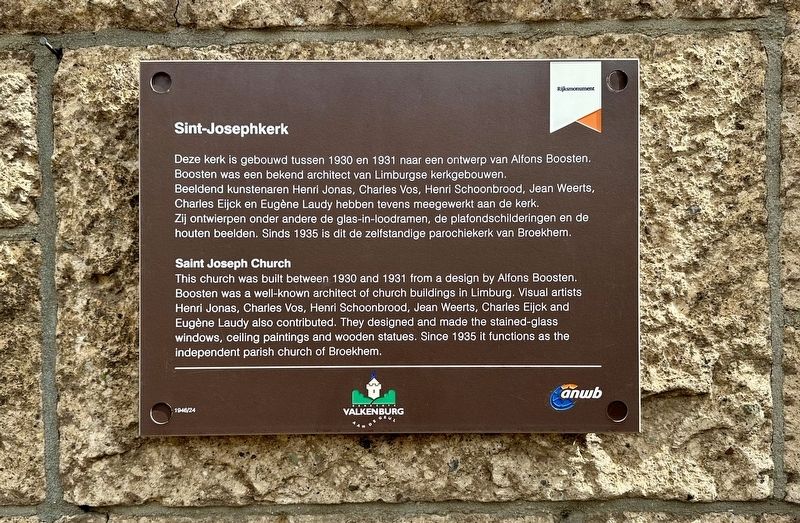
Deze kerk is gebouwd tussen 1930 en 1931 naar een ontwerp van Alfons Boosten. Boosten was een bekend architect van Limburgse kerkgebouwen. Beeldend kunstenaren Henri Jonas, Charles Vos, Henri Schoonbrood, Jean Weerts, Charles Eijck en Eugène Laudy hebben tevens meegewerkt aan de kerk. Zij ontwierpen onder andere de glas-in-loodramen, de plafondschilderingen en de houten beelden. Sinds 1935 is dit de zelfstandige parochiekerk van Broekhem.
This church was built between 1930 and 1931 from a design by Alfons Boosten. Boosten was a well-known architect of church buildings in Limburg. Visual artists Henri Jonas, Charles Vos, Henri Schoonbrood, Jean Weerts, Charles Eijck and Eugène Laudy also contributed. They designed and made the stained-glass windows, ceiling paintings and wooden statues. Since 1935 it functions as the independent parish church of Broekhem.
Erected by ANWB, Gemeente Valkenburg aan de Geul. (Marker Number 1946/24.)
Topics. This historical marker is listed in this topic list: Religion & Religious Structures. A significant historical year for this entry is 1930.
Location. 50° 52.216′ N,
this page online

Regionally, it is in Europe, the European Union, Atlantic Europe, the Benelux Low Countries, the Schengen Area, Western Europe, and the Western World. Historically, it finds itself in what was once the Roman Empire and specifically also the Holy Roman Empire.
Other nearby markers. At least 8 other markers are within walking distance of this marker: Schuilbunker / Air Raid Shelter (approx. 0.3 kilometers away); Kruitmolen/ Gunpowder Mill (approx. half a kilometer away); Vuurstijn-Mijnwerkers / Flint Miners (approx. half a kilometer away); Haksporen / Tool Marks (approx. half a kilometer away); Werktuigen van Vuursteen / Flint Tools (approx. half a kilometer away); De Via Belgica (approx. half a kilometer away); De Vondst Van De Vuursteenmijnen / The Discovery of the Flint Mines
Photographed by Andrew Ruppenstein, May 29, 2024
2. Sint-Josephkerk / Saint Joseph Church and Marker
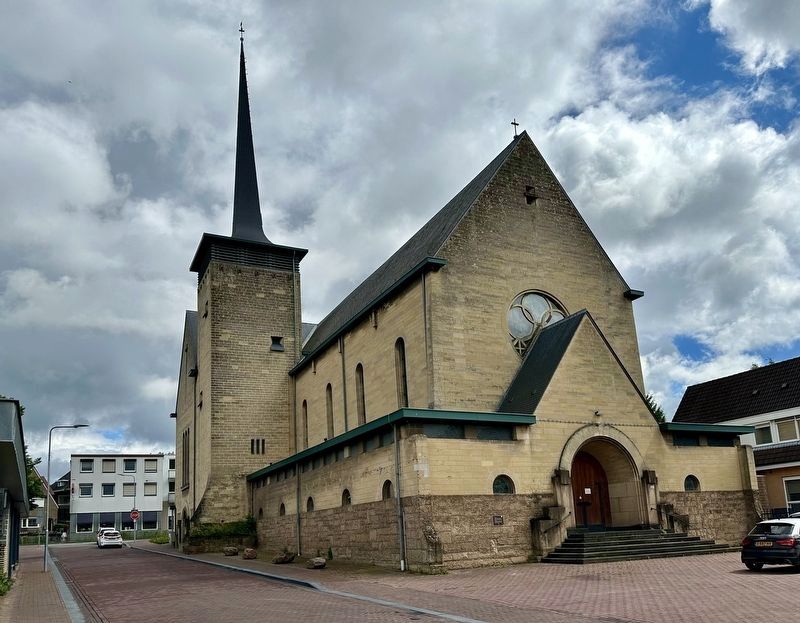
The marker is visible here to the left of the church entrance.
Also see . . . Sint-Jozefkerk (Valkenburg) (Wikipedia, in Dutch). (Submitted on May 31, 2024.)
Credits. This page was last revised on May 31, 2024. It was originally submitted on May 31, 2024, by Andrew Ruppenstein of Lamorinda, California. This page has been viewed 156 times since then and 12 times this year. Photos: 1, 2. submitted on May 31, 2024, by Andrew Ruppenstein of Lamorinda, California.
