
Mount Vernon in Knox County, Ohio — The American Midwest (Great Lakes)
Rastin Observation Tower
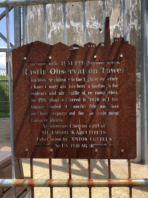
The Historic 1951 PPG Smokestack
Photographed by Duane and Tracy Marsteller, May 25, 2024
1. Rastin Observation Tower Marker
Fabrication by Custom Cutters
Erection by United Aggregates
Topics. This historical marker is listed in these topic lists: Industry & Commerce • Landmarks. A significant historical year for this entry is 1951.
Location. 40° 22.973′ N, 82° 29.657′ W. Marker is in Mount Vernon, Ohio, in Knox County. It is on Neil Avenue 0.1 miles north of Pittsburgh Avenue, on the left when traveling north. Marker is in Ariel-Foundation Park. Touch for map. Marker is in this post office area: Mount Vernon OH 43050, United States of America. Touch for directions.

Regionally, this marker is in Amish Country. It is also in the American Midwest and in the Corn Belt. Globally, it is in North America, the Western Hemisphere, the Western World, and the Anglosphere. Historically, it finds itself in what was once the
this page online
Other nearby markers. At least 8 other markers are within walking distance of this marker: Gas Control Building (within shouting distance of this marker); Elevator & Stair Tower (within shouting distance of this marker); Ridge Truss Sculpture (about 300 feet away, measured in a direct line); The Clock House (about 400 feet away); The Terraces (about 400 feet away); a different marker also named The Terraces (about 500 feet away); The Ruins (about 500 feet away); a different marker also named The Ruins (about 500 feet away). Touch for a list and map of all markers in Mount Vernon.
Also see . . . The Smokestack and Rastin Observation Tower. Still the tallest architectural structure in Knox County, the smokestack is a centerpiece among the factory ruins that pay tribute to the Pittsburgh Plate Glass Company’s workers and their families. The 280-foot smokestack once expelled flue gases from the glassmaking facility. (Jessica Ferrer, Ariel-Foundation Park) (Submitted on May 31, 2024, by Duane and Tracy Marsteller of Murfreesboro, Tennessee.)
Photographed by Duane and Tracy Marsteller, May 25, 2024
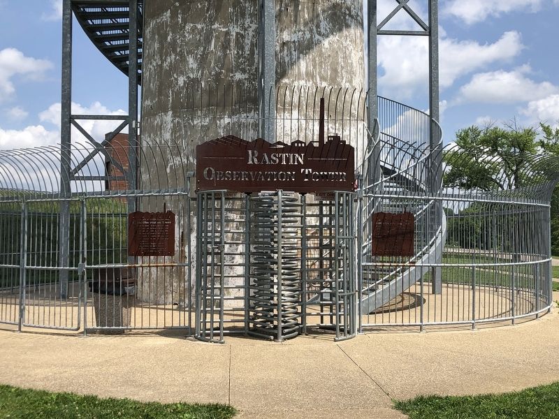
2. Rastin Observation Tower Marker
Photographed by Duane and Tracy Marsteller, May 25, 2024
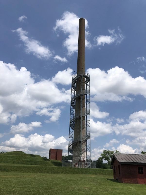
3. The Rastin Observation Tower
The smokestack is 280 feet tall; the 224-step tower staircase rises 140 feet (the equivalent of 13 stories) above the ground.
Photographed by Ian Lefkowitz, June 2, 2025
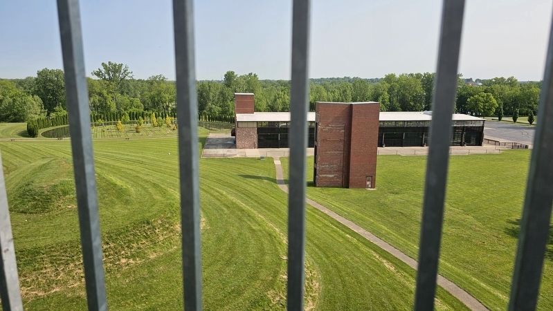
4. Rastin Observation Tower
A view of Ariel-Foundation Park from the tower.
Credits. This page was last revised on August 12, 2025. It was originally submitted on May 31, 2024, by Duane and Tracy Marsteller of Murfreesboro, Tennessee. This page has been viewed 267 times since then and 35 times this year. Photos: 1, 2, 3. submitted on May 31, 2024, by Duane and Tracy Marsteller of Murfreesboro, Tennessee. 4. submitted on August 7, 2025, by Ian Lefkowitz of New York, New York.
