Westerville in Franklin County, Ohio — The American Midwest (Great Lakes)
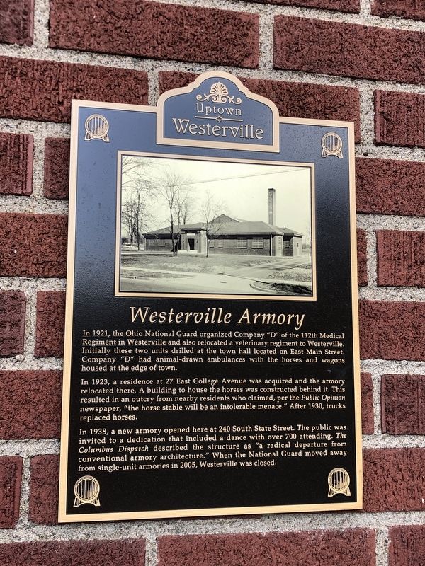
Westerville Armory
Photographed by Duane and Tracy Marsteller, May 25, 2024
1. Westerville Armory Marker
In 1923, a residence at 27 East College Avenue was acquired and the armory relocated there. A building to house the horses was constructed behind it. This resulted in an outcry from nearby residents who claimed, per the Public Opinion newspaper, “the horse stable will be an intolerable menace.” After 1930, trucks replaced horses.
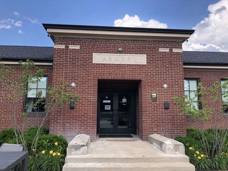
In 1938, a new armory opened here at 240 South State Street. The public was invited to a dedication that included a dance with over 700 attending. The Columbus Dispatch described the structure as “a radical departure from conventional armory architecture.” When the National Guard moved away from single-unit armories in 2005, Westerville was closed.
Erected by Uptown Westerville Inc.
Topics. This historical marker is listed in this topic list:
this page online
Location. 40° 7.178′ N, 82° 55.732′ W. Marker is in Westerville, Ohio, in Franklin County. It is on South State Street (Ohio Route 3) north of Bishop Drive, on the right when traveling north. Touch for map. Marker is at or near this postal address: 240 S State St, Westerville OH 43081, United States of America. Touch for directions.

Regionally, this marker is in the Scioto Valley and in the Columbus Metropolitan Area. It is also in the American Midwest and in the Corn Belt. Globally, it is in North America, the Western Hemisphere, the Western World, and the Anglosphere. Historically, it finds itself in what was once the Haudenosaunee (Iroquois) Confederacy, the territory of the Mississippian Culture, and the Northwest Territory.
Other nearby markers. At least 8 other markers are within walking distance of this marker: This Flag (approx. 0.2 miles away); Blendon Masonic Lodge 339 (approx. 0.2 miles away); Uptown Westerville Historic District (approx. 0.2 miles away); Stoner House (approx. 0.2 miles away); Agnes Meyer Driscoll (approx. ¼ mile away); Anti-Saloon League Offices
Photographed by Duane and Tracy Marsteller, May 25, 2024
2. Westerville Armory Marker
Credits. This page was last revised on June 2, 2024. It was originally submitted on June 1, 2024, by Duane and Tracy Marsteller of Murfreesboro, Tennessee. This page has been viewed 457 times since then and 70 times this year. Photos: 1, 2. submitted on June 1, 2024, by Duane and Tracy Marsteller of Murfreesboro, Tennessee.
