Bellevue in Nashville in Davidson County, Tennessee — The American South (East South Central)
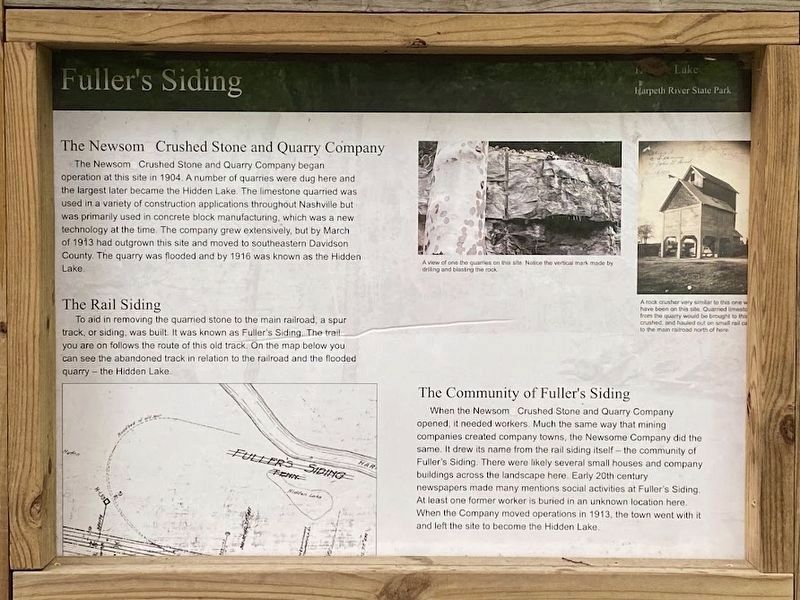
Fuller's Siding
Photographed by Darren Jefferson Clay, June 1, 2024
1. Fuller's Siding Marker
The Newsom Crushed Stone and Quarry Company
The Newsom Crushed Stone and Quarry Company began operation at this site in 1904. A number of quarries were dug here and the largest later became the Hidden Lake. The limestone quarried was used in a variety of construction applications throughout Nashville but was primarily used in concrete block manufacturing, which was a new technology at the time. The company grew extensively, but by March of 1913 had outgrown this site and moved to southeastern Davidson County. The quarry was flooded and by 1916 was known as the Hidden Lake.
The Rail Siding
To aid in removing the quarried stone to the main railroad, a spur track, or siding, was built. It was known as Fuller's Siding. The trail you are on follows the route of this old track. On the map below you can see the abandoned track in relation to the railroad and the flooded quarry the Hidden Lake
The Community of Fuller's Siding
When the Newsom Crushed Stone and Quarry Company opened, it needed workers. Much the same way that mining companies created company towns, the Newsome Company did the same. It drew its name from the
this page online
Captions
(Top, left): A view of one of the quarries on this site. Notice the vertical mark made by drilling and blasting the rock.
(Top, right): A rock crusher similar to this one would have been on this site. Quarried limestone from the quarry would be brought to this site , crushed, and hauled out on small rail cars to the main railroad north of here.
Topics. This historical marker is listed in these topic lists: Industry & Commerce • Railroads & Streetcars.
Location. 36° 5.533′ N, 87° 1.564′ W. Marker is in Nashville, Tennessee, in Davidson County. It is in Bellevue. It can be reached from Ridge loop trail. Touch for map. Marker is at or near this postal address: 7851 Rdg
Photographed by Darren Jefferson Clay, May 27, 2024
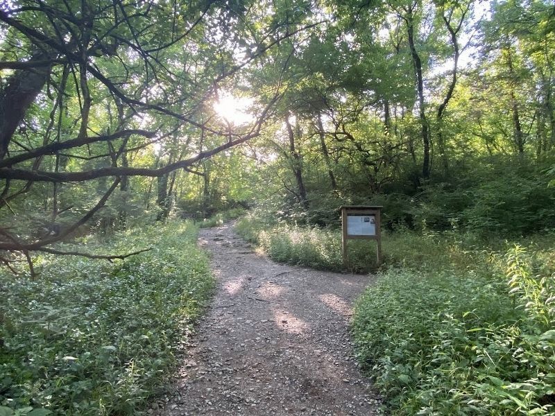
2. Fuller's Siding Marker

Regionally, this marker is in Middle Tennessee. It is also in the American South and specifically in the Upper South. Globally, it is in North America, the Western Hemisphere, the Western World, and the Anglosphere. Historically, it finds itself in what was once the territory of the Mississippian Culture, one of the Confederate States of America, and the Antebellum South.
Other nearby markers. At least 8 other markers are within walking distance of this marker: Hidden Lake (approx. 0.3 miles away); Memorial to Submariners (approx. 0.4 miles away); Address by President Abraham Lincoln (approx. 0.4 miles away); Marine War Memorial (approx. 0.4 miles away); United States Army (approx. 0.4 miles away); United States Navy Civil Engineer Corps and Seabees (approx. 0.4 miles away); United States Navy (approx. 0.4 miles away); We will not forget (approx. 0.4 miles away). Touch for a list and map of all markers in Nashville.
Credits. This page was last revised on June 2, 2024. It was originally submitted on June 1, 2024, by Darren Jefferson Clay of Duluth, Georgia. This page has been viewed 353 times since then and 53 times this year. Photos: 1, 2. submitted on June 1, 2024, by Darren Jefferson Clay of Duluth, Georgia. • James Hulse was the editor who published this page.
