Westerville in Franklin County, Ohio — The American Midwest (Great Lakes)
Salem Evangelical Church
Photographed by Duane and Tracy Marsteller, May 25, 2024
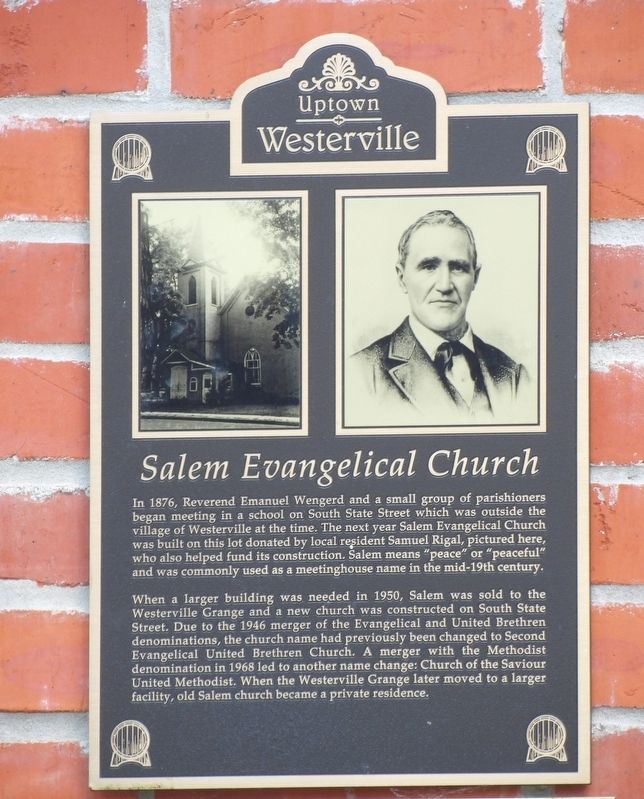
1. Salem Evangelical Church Marker
When a larger building was needed in 1950, Salem was sold to the Westerville Grange and a new church was constructed on South State Street. Due to the 1946 merger of the Evangelical and United Brethren denominations, the church name had previously been changed to Second Evangelical United Brethren Church. A merger with the Methodist denomination in 1968 led to another name change: Church of the Saviour United Methodist. When the Westerville Grange later moved to a larger facility, old Salem church became a private residence.
Erected by Uptown Westerville Inc.
Topics. This historical marker is listed in this topic list: Religion & Religious Structures. A significant historical year for this entry is 1876.
Location. 40° 7.509′ N,
this page online

Regionally, this marker is in the Scioto Valley and in the Columbus Metropolitan Area. It is also in the American Midwest and in the Corn Belt. Globally, it is in North America, the Western Hemisphere, the Western World, and the Anglosphere. Historically, it finds itself in what was once the Haudenosaunee (Iroquois) Confederacy, the territory of the Mississippian Culture, and the Northwest Territory.
Other nearby markers. At least 8 other markers are within walking distance of this marker: Westerville High School (about 500 feet away, measured in a direct line); 30 East College Avenue (about 500 feet away); U.S. Post Office (about 500 feet away); 14-16 South State Street (about 600 feet away); 14-16-18 East College Avenue (about 600 feet away); D.H. Budd Buggies (about 600
Photographed by Duane and Tracy Marsteller, May 25, 2024
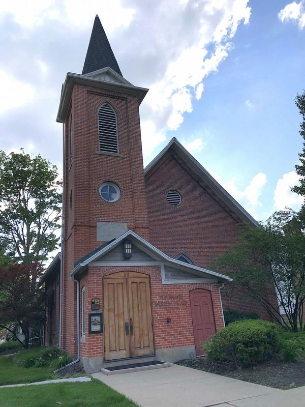
2. Salem Evangelical Church Marker
The former church is now home of The Frank Museum of Art by Otterbein University.
Credits. This page was last revised on June 2, 2024. It was originally submitted on June 2, 2024, by Duane and Tracy Marsteller of Murfreesboro, Tennessee. This page has been viewed 321 times since then and 22 times this year. Photos: 1, 2. submitted on June 2, 2024, by Duane and Tracy Marsteller of Murfreesboro, Tennessee.
