
Westerville in Franklin County, Ohio — The American Midwest (Great Lakes)
U.S. Post Office
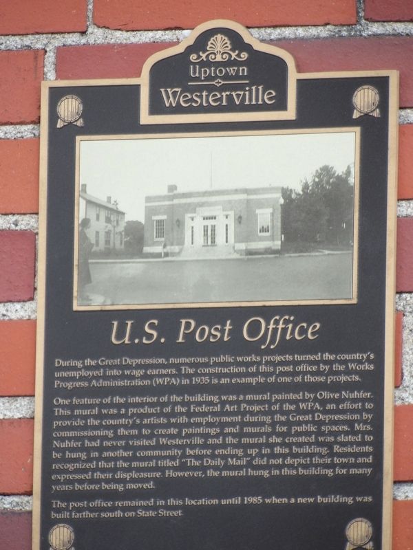
Photographed by Duane and Tracy Marsteller, May 25, 2024
1. U.S. Post Office Marker
One feature of the interior of the building was a mural painted by Olive Nuhfer. This mural was a product of the Federal Art Project of the WPA, an effort to provide the country's artists with employment during the Great Depression by commissioning them to create paintings and murals for public spaces. Mrs. Nuhfer had never visited Westerville and the mural she created was slated to be hung in another community before ending up in this building. Residents recognized that the mural titled “The Daily Mail” did not depict their town and expressed their displeasure. However, the mural hung in this building for many years before being moved.
The post office remained in this location until 1985 when a new building was built farther south on State Street.
Erected by Uptown Westerville Inc.
Topics and series. This historical marker is listed in these topic lists: Arts, Letters, Music
this page online
Location. 40° 7.513′ N, 82° 55.874′ W. Marker is in Westerville, Ohio, in Franklin County. It is at the intersection of South State Street (Ohio Route 3) and Winter Street, on the right when traveling north on South State Street. Touch for map. Marker is at or near this postal address: 28 S State St, Westerville OH 43081, United States of America. Touch for directions.

Regionally, this marker is in the Scioto Valley and in the Columbus Metropolitan Area. It is also in the American Midwest and in the Corn Belt. Globally, it is in North America, the Western Hemisphere, the Western World, and the Anglosphere. Historically, it finds itself in what was once the Haudenosaunee (Iroquois) Confederacy, the territory of the Mississippian Culture, and the Northwest Territory.
Other nearby markers. At least 8 other markers are within walking distance of this marker: 14-16 South State Street (within shouting distance of this marker); Heritage Green Park
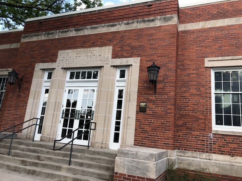
Photographed by Duane and Tracy Marsteller, May 25, 2024
2. U.S. Post Office Marker
Credits. This page was last revised on June 2, 2024. It was originally submitted on June 2, 2024, by Duane and Tracy Marsteller of Murfreesboro, Tennessee. This page has been viewed 334 times since then and 44 times this year. Photos: 1, 2. submitted on June 2, 2024, by Duane and Tracy Marsteller of Murfreesboro, Tennessee.
