
Fort Campbell in Christian County, Kentucky — The American South (East South Central)
Lincoln Elementary School
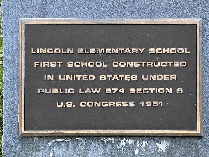
Photographed by Darren Jefferson Clay, May 26, 2024
1. Lincoln Elementary School Marker
Topics. This historical marker is listed in this topic list: Education. A significant historical year for this entry is 1951.
Location. 36° 39.629′ N, 87° 27.68′ W. Marker is in Fort Campbell, Kentucky, in Christian County. It is on Polk Road west of Iowa Ave, on the right when traveling west. Touch for map. Marker is in this post office area: Fort Campbell KY 42223, United States of America. Touch for directions.

Regionally, this marker is in the American Midwest, in the South, and specifically in the Upper South. Globally, it is in North America, the Western Hemisphere, the Western World, and the Anglosphere. Historically, it finds itself in what was once the territory of the Mississippian Culture and also the Antebellum South.
Other nearby markers. At least 8 other markers are within 2 miles of this marker, measured as the crow flies: Currahee Memorial Field (approx. 1.4 miles away in Tennessee); In memory of the soldiers of the 4th Brigade Special Troops "Apache" Battalion (approx. 1.4 miles away in Tennessee); In Memory of the Men of Alpha Company
this page online
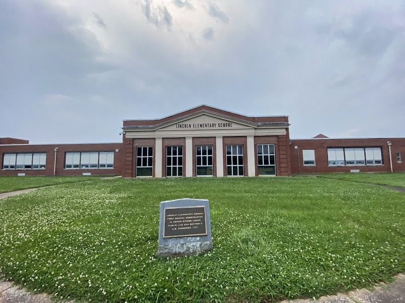
Photographed by Darren Jefferson Clay, May 26, 2024
2. Lincoln Elementary School Marker
Credits. This page was last revised on June 3, 2024. It was originally submitted on June 2, 2024, by Darren Jefferson Clay of Duluth, Georgia. This page has been viewed 339 times since then and 55 times this year. Photos: 1, 2. submitted on June 2, 2024, by Darren Jefferson Clay of Duluth, Georgia. • James Hulse was the editor who published this page.
