
Westerville in Franklin County, Ohio — The American Midwest (Great Lakes)
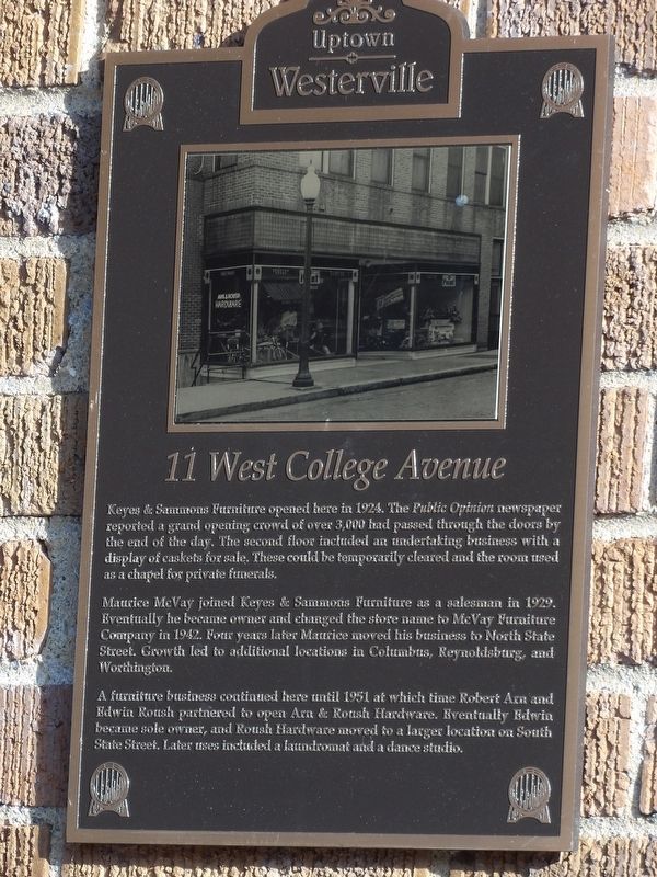
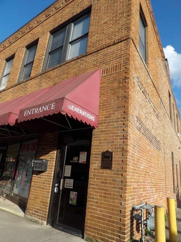
11 West College Avenue
Photographed by Duane and Tracy Marsteller, May 25, 2024
1. 11 West College Avenue Marker
Maurice McVay joined Keyes & Sammons Furniture as a salesman in 1929. Eventually he became owner and changed the store name to McVay Furniture Company in 1942. Four years later Maurice moved his business to North State Street. Growth led to additional locations in Columbus, Reynoldsburg, and Worthington.
A furniture business continued here until 1951 at which time Robert Arn and Edwin Roush partnered to open Arn & Roush Hardware. Eventually Edwin became sole owner, and Roush Hardware moved to a larger location on South State Street. Later uses included a laundromat and a dance studio.
Erected by Uptown Westerville Inc.
Topics. This historical marker is listed in this topic list: Industry & Commerce. A significant historical year for this entry is 1924.
Location. 40° 7.547′ N, 82° 55.925′ W.
this page online

Regionally, this marker is in the Scioto Valley and in the Columbus Metropolitan Area. It is also in the American Midwest and in the Corn Belt. Globally, it is in North America, the Western Hemisphere, the Western World, and the Anglosphere. Historically, it finds itself in what was once the Haudenosaunee (Iroquois) Confederacy, the territory of the Mississippian Culture, and the Northwest Territory.
Other nearby markers. At least 8 other markers are within walking distance of this marker: J.R. William's Bakery (a few steps from this marker); Markley Block (within shouting distance of this marker); Heritage Green Park (within shouting distance of this marker); Robinson Block (within shouting distance of this marker); D.H. Budd Buggies (within shouting distance of this marker); First National Bank / W.C. Bale Hardware
Photographed by Duane and Tracy Marsteller, May 25, 2024
2. 11 West College Avenue Marker
Credits. This page was last revised on June 2, 2024. It was originally submitted on June 2, 2024, by Duane and Tracy Marsteller of Murfreesboro, Tennessee. This page has been viewed 458 times since then and 37 times this year. Photos: 1, 2. submitted on June 2, 2024, by Duane and Tracy Marsteller of Murfreesboro, Tennessee.
