
Westerville in Franklin County, Ohio — The American Midwest (Great Lakes)
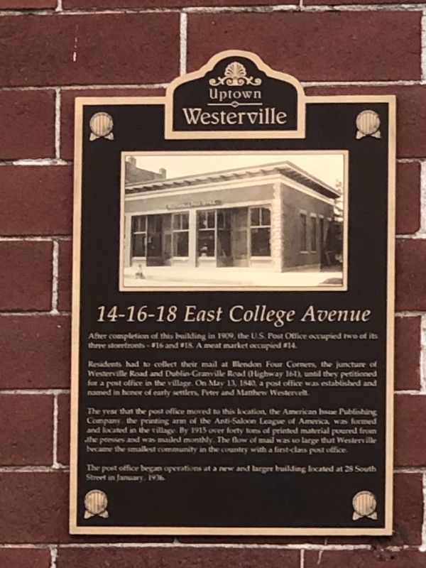
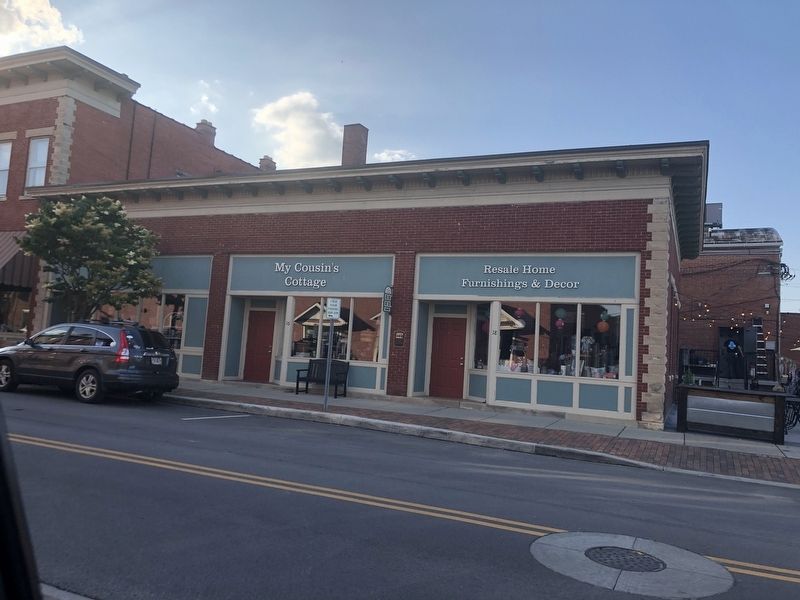
14-16-18 East College Avenue
Photographed by Duane and Tracy Marsteller, May 25, 2024
1. 14-16-18 East College Avenue Marker
Residents had to collect their mail at Blendon Four Corners, the juncture of Westerville Road and Dublin-Granville Road (Highway 161), until they petitioned for a post office in the village. On May 13, 1840, a post office was established and named in honor of early settlers, Peter and Matthew Westervelt.
The year that the post office moved to this location, the American Issue Publishing Company, the printing arm of the Anti-Saloon League of America, was formed and located in the village. By 1915 over forty tons of printed material poured from the presses and was mailed monthly. The flow of mail was so large that Westerville became the smallest community in the country with a first-class post office.
The post office began operations at a new and larger building located at 28 South Street in January, 1936.
Erected by Uptown Westerville Inc.
Topics. This historical marker is listed in this topic list: Communications. A significant historical date for this entry is May 13, 1840.
Location. 40° 7.565′ N,
this page online

Regionally, this marker is in the Scioto Valley and in the Columbus Metropolitan Area. It is also in the American Midwest and in the Corn Belt. Globally, it is in North America, the Western Hemisphere, the Western World, and the Anglosphere. Historically, it finds itself in what was once the Haudenosaunee (Iroquois) Confederacy, the territory of the Mississippian Culture, and the Northwest Territory.
Other nearby markers. At least 8 other markers are within walking distance of this marker: 30 East College Avenue (within shouting distance of this marker); First National Bank / W.C. Bale Hardware (within shouting distance of this marker); Robinson Block (within shouting distance of this marker); D.H. Budd Buggies (within shouting distance of this marker); State Theatre (within shouting distance
Photographed by Duane and Tracy Marsteller, May 25, 2024
2. 14-16-18 East College Avenue Marker
Credits. This page was last revised on June 2, 2024. It was originally submitted on June 2, 2024, by Duane and Tracy Marsteller of Murfreesboro, Tennessee. This page has been viewed 251 times since then and 35 times this year. Photos: 1, 2. submitted on June 2, 2024, by Duane and Tracy Marsteller of Murfreesboro, Tennessee.
Editor’s want-list for this marker. Clear closeup photograph of marker. • Can you help?
