St. Cloud in Osceola County, Florida — The American South (South Atlantic)
St. Luke Baptist Church
Photographed by Diane Murphy, June 2, 2024
1. St.Luke Baptist Church Marker
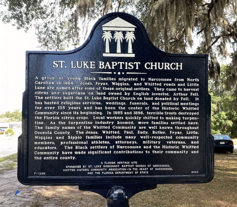
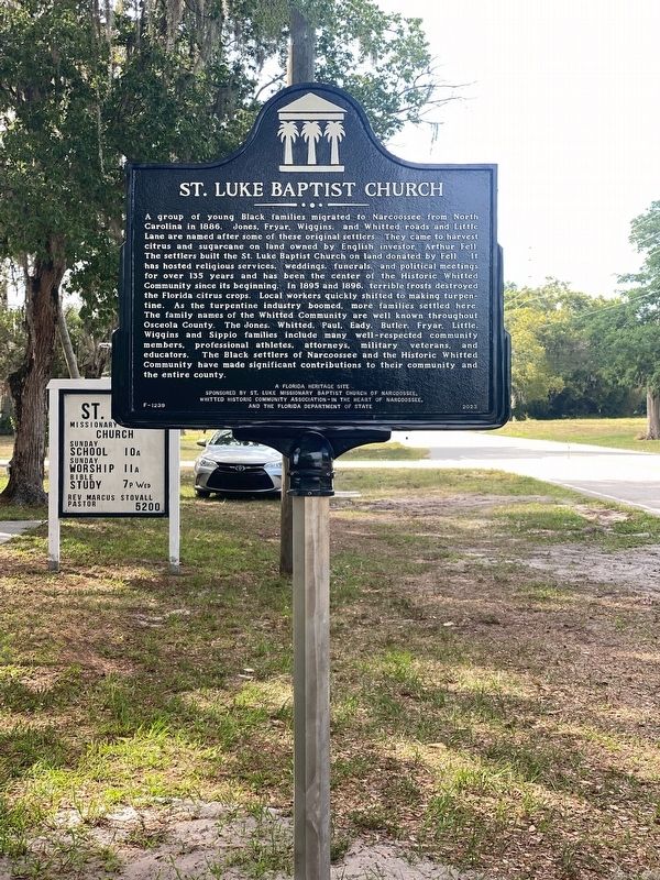
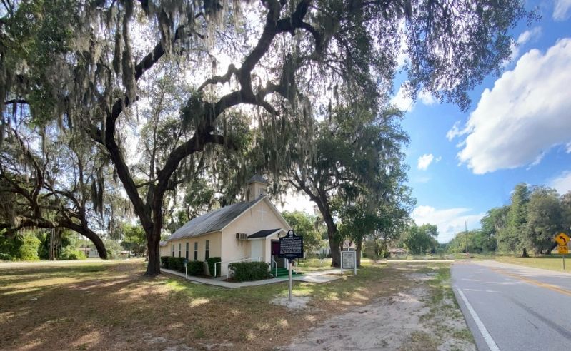
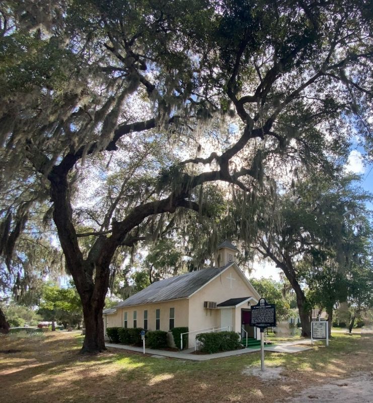
A group of young Black families migrated to Narcoossee from North Carolina in 1886. Jones, Fryar, Wiggins, and Whitted roads and Little Lane are named after some of these original settlers. They came to harvest citrus and sugarcane on land owned by English investor, Arthur Fell. The settlers built the St. Luke Baptist Church on land donated by Fell. It has hosted religious services, weddings, funerals, and political meetings for over 135 years and has been the center of the Historic Whitted Community since its beginning. In 1895 and 1896, terrible frosts destroyed the Florida citrus crops. Local workers quickly shifted to making turpentine. As the turpentine industry boomed, more families settled here. The family names of the Whitted Community are well known throughout Osceola County. The Jones. Whitted, Paul, Eady, Butler, Fryar, Little, Wiggins and Sippio families include many well-respected community members, professional athletes, attorneys, military veterans, and educators. The Black settlers of Narcoossee and the Historic Whitted Community have made significant contributions to their community and the entire county
Erected 2024
this page online
Topics. This historical marker is listed in these topic lists: African Americans • Industry & Commerce • Religion & Religious Structures • Settlements & Settlers. A significant historical year for this entry is 1886.
Location. 28° 17.739′ N, 81° 13.942′ W. Marker is in St. Cloud, Florida, in Osceola County. It is at the intersection of Jones Road and Fryer Road, on the left when traveling north on Jones Road. Touch for map. Marker is at or near this postal address: 5200 Jones Rd, Saint Cloud FL 34771, United States of America. Touch for directions.

Regionally, this marker is in Greater Orlando and in Central Florida. It is also in the American South. Globally, it is in the North Atlantic Region, North America, a Gulf of Mexico state, the Western Hemisphere, the Western World, and the Anglosphere. Historically, it finds itself in what was once New Spain, the territory of the Mississippian Culture, one of the Confederate States of America, and the Antebellum
Photographed by Diane Murphy, June 2024
2. St.Luke Baptist Church Marker
Other nearby markers. At least 8 other markers are within 5 miles of this marker, measured as the crow flies: The English Colony of Narcoossee (approx. 0.4 miles away); Runnymede (approx. 1.8 miles away); Narcoossee Mill Ruins (approx. 1.9 miles away); Ashton (approx. 3.4 miles away); Soldier City's Mount Peace Cemetery (approx. 3.7 miles away); Original Fire Department Garage (approx. 4.4 miles away); Horse Drawn Wagon (approx. 4.4 miles away); Joyland Beach and Bathing Beauties (approx. 4.4 miles away). Touch for a list and map of all markers in St. Cloud.
Photographed by Diane Murphy, June 2024
3. St.Luke Baptist Church Marker
Photographed by Diane Murphy, June 2024
4. St.Luke Baptist Church Marker
Credits. This page was last revised on June 4, 2024. It was originally submitted on June 2, 2024, by Diane Murphy of Saint Cloud, Florida. This page has been viewed 974 times since then and 166 times this year. Photos: 1, 2, 3, 4. submitted on June 2, 2024, by Diane Murphy of Saint Cloud, Florida. • Bernard Fisher was the editor who published this page.
