Aromas in San Benito County, California — The American West (Pacific Coastal)
A. R. Wilson Quarry
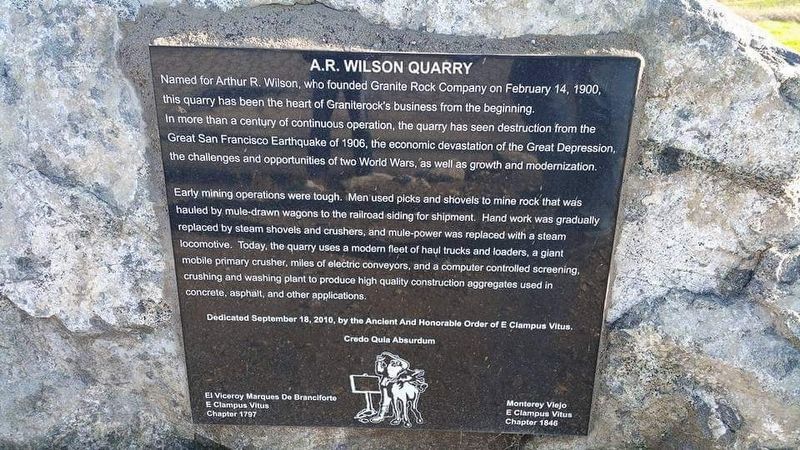
Photographed by Francisco Sanchez Ruiz, circa 2016
1. A. R. Wilson Quarry Marker
Named for Arthur R. Wilson, who founded Granite Rock Company on February 14, 1900, this quarry has been the heart of Granite Rock's business since the beginning. In more than a century of continuous operation, the quarry has seen destruction from the Great San Francisco Earthquake of 1906, the economic devastation of the Great Depression, the challenges and opportunities of two World Wars, as well as growth and modernization.
Early mining operations were tough. Men used picks and shovels to mine rock that was hauled by mule-drawn wagons to the railroad siding for shipment. Hand work was gradually replaced by steam shovels and crushers, and mule power was replaced with a steam locomotive. Today the quarry uses a modern fleet of haul trucks and loaders, a giant mobile primary crusher, miles of electronic conveyors, and a computer control screening, crushing and washing plant to produce high quality construction aggregates used in concrete, asphalt, and other applications.
Erected 2010 by El Viceroy Marques de Branciforte E Clampus Vitus Chapter 1797 and Monterey Viejo E Clampus Vitus Chapter 1846.
Topics and series.
this page online
Location. 36° 53.825′ N, 121° 38.088′ W. Marker is in Aromas, California, in San Benito County. It is on Quarry Road 0.7 miles west of Carpenteria Road, on the right when traveling east. Touch for map. Marker is at or near this postal address: 521 Quarry Road, Aromas CA 95004, United States of America. Touch for directions.

Regionally, this marker is on the Central Coast and specifically on the Coast Ranges. It is also on the American Pacific Coast. Globally, it is in North America, on the Ring of Fire, in the Pacific Rim, in the Western Hemisphere, in the Western World, and in the Anglosphere. Historically, it finds itself in what was once New Spain and also Mexico’s Alta California.
Other nearby markers. At least 8 other markers are within 7 miles of this marker, measured as the crow flies: Campo Santo (approx. 6.1 miles away); San Juan Bautista WW II Veterans (approx. 6.1 miles away); Marentis House (approx.
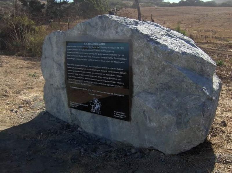
Photographed by Jim Cirner
2. A. R. Wilson Quarry Marker
Another marker is no longer nearby. Patrick and Margaret Breen (was approx. 6.1 miles away but has been confirmed missing).
More about this marker. The marker is located near a processing facility, and the quarry itself is one mile north, on private property.
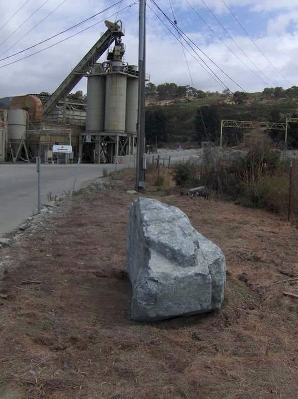
Photographed by Jim Cirner
3. A. R. Wilson Quarry Marker
Credits. This page was last revised on June 5, 2024. It was originally submitted on January 12, 2017, by Frank Gunshow Sanchez of Hollister, California. This page has been viewed 1,621 times since then and 69 times this year. Last updated on June 3, 2024, by Ronald D. (Ron) Trigueiro of Fresno, California. Photos: 1. submitted on January 12, 2017, by Frank Gunshow Sanchez of Hollister, California. 2, 3. submitted on January 16, 2017, by Frank Gunshow Sanchez of Hollister, California. • Devry Becker Jones was the editor who published this page.
Editor’s want-list for this marker. Photos of the quarry. • Can you help?
