Les Halles in Paris in Département de Paris, Île-de-France, France — Western Europe
Eglise Saint-Eustache
| — | Histoire de Paris | — |
Photographed by J. Makali Bruton, June 3, 2024
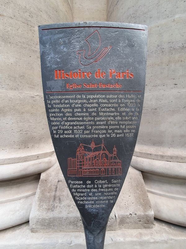
1. Eglise Saint-Eustache Marker

L'accroissement de la population autour des Halles et la piété d'un bourgeois, Jean Alais, sont à l'origine de la fondation d'une chapelle consacrée en 1223 à sainte Agnès puis à saint Eustache. Edifiée à la jonction des chemins de Montmartre et de la Marée, et devenue église paroissiale, elle subit une série d'agrandissements avant d'être remplacée par l'édifice actuel. Sa première pierre fut posée le 29 août 1532 par François ler, mais elle ne fut achevée et consacrée que le 26 avril 1637.
Paroisse de Colbert, Saint-Eustache doit à la générosité du ministre des fresques de Mignard et une nouvelle façade restée cependant inachevée comme la précédente.
Saint-Eustache Church
The increase in the population around Les Halles and the piety of a member of the bourgeois, Jean Alais, were at the origin of the foundation of a chapel consecrated in 1223 to Saint Agnes and then to Saint Eustache. Built at the junction of the Chemin de Montmartre and the Chemin de la Marée, and now a parish church, it underwent a series of expansions before being replaced by the current building.
this page online
The Parish of Colbert, Saint-Eustache is indebted to the generosity of the ministry for the frescoes of Mignard and a new facade. However, the façade remained unfinished as was the previous.
Erected by Ville de Paris.
Topics and series. This historical marker is listed in this topic list: Religion & Religious Structures. In addition, it is included in the Histoire de Paris series list. A significant historical date for this entry is April 26, 1637.
Location. 48° 51.798′ N, 2° 20.667′ E. Marker is in Paris, Île-de-France, in Département de Paris. It is in Les Halles. It is at the intersection of Place Coquilliere and Rue Rambuteau, on the right when traveling east on Place Coquilliere. Touch for map. Marker is in this post office area: Paris, Île-de-France 75001, France. Touch for directions.

Regionally, it is in the North Atlantic Region, Europe, the European Union, Atlantic Europe, the Schengen Area, Western Europe, a coastal Mediterranean country, and the Western World. Historically, it finds itself in what was
Photographed by J. Makali Bruton, June 3, 2024
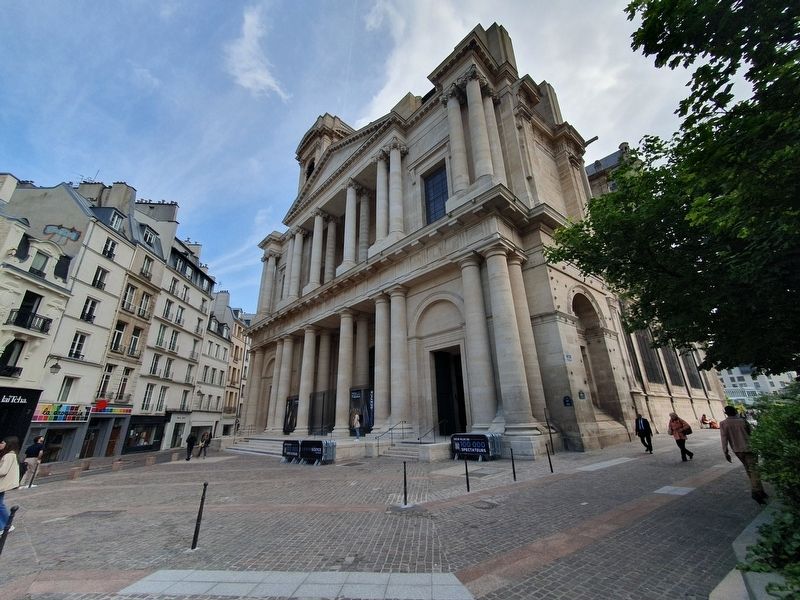
2. Eglise Saint-Eustache and Marker
Other nearby markers. At least 8 other markers are within walking distance of this marker: La Rue Montmartre (about 180 meters away, measured in a direct line); Caisse d’Epargne de Paris (about 210 meters away); Middle School Public César Franck Jewish Children’s Deportation Memorial (about 210 meters away); La rue de la Jussienne (about 240 meters away); Admiral Tourville (approx. 0.3 kilometers away); Louis Joseph Ferdinand Herold (approx. 0.3 kilometers away); La rue Mandar (approx. 0.3 kilometers away); La Pâtisserie Stohrer / The Stohrer Pastry Shop (approx. 0.3 kilometers away). Touch for a list and map of all markers in Paris.
Also see . . . Saint-Estauche at Wikipedia. (Submitted on June 3, 2024.)
Additional keywords. panneau
Photographed by J. Makali Bruton, June 3, 2024
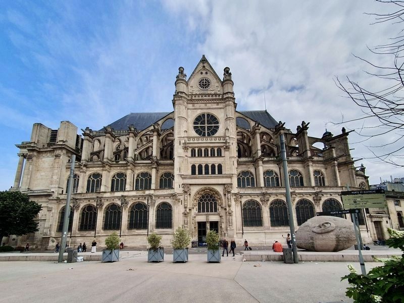
3. Eglise Saint-Eustache

Photographed by Levy Fils et Cie, Paris, circa 1905
4. L’Eglise Saint-Eustache
Credits. This page was last revised on April 23, 2025. It was originally submitted on June 3, 2024, by J. Makali Bruton of Washington, District of Columbia. This page has been viewed 179 times since then and 27 times this year. Photos: 1, 2, 3. submitted on June 3, 2024, by J. Makali Bruton of Washington, District of Columbia. 4. submitted on April 23, 2025.
