Ridgefield in Fairfield County, Connecticut — The American Northeast (New England)
Ballard Park
Ridgefield, Connecticut
— The Museum in the Streets —
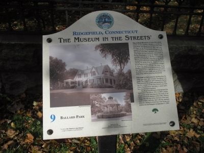
Philip Burr Bradley was one of the earliest owners of the property. Bradley, a cousin of Aaron Burr, was placed in command of the Fifth CT Regt. in the Revolutionary War, and commanded a battalion at the Battle of Ridgefield. He also served in the State Legislature, was a Justice of the Peace, the first Postmaster, and a friend of George Washington. Lucius H. Biglow, music publisher and partner in the firm of Biglow & Main in New York City, came here at the urging of his partner who lived in Ridgefield. After purchasing the house from Dr. Adams, he had it moved back from the street and greatly enlarged it. Upon his death it became the home of his daughter, Elizabeth Ballard and her family. When Mrs. Ballard died in 1964 she deeded the land to the town to become a park, and according to the terms of her will the house was demolished.
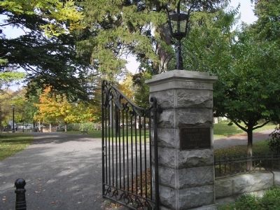
The Park has been a popular meeting place for many activities and concerts throughout the years. The Ridgefield and Caudatowa Garden Clubs maintain the gardens and greenhouse. During the summer months free concerts are held where families picnic and enjoy a varied selection of musical performances.
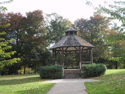
The Ridgefield Woman’s Club donated the bandstand to the town in 1975. In 2003 a memorial granite stone was placed at the head of the brick walkway in memory of Dee (Mrs. Wilson) Flagg, who was one of the chairmen of the bandstand project, and who died with her husband when the airliner in which they were flying was crashed into the Pentagon on September 11, 2001.
Erected 2008 by The Museum in the Streets®. (Marker Number 9.)
Topics and series. This historical marker is listed in these topic lists: Notable Places • War, US Revolutionary. In addition, it is included in the The Museum in the Streets®: Ridgefield, Connecticut series list. A significant historical month for this entry is September 1895.
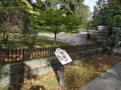
Location. 41° 17′ N, 73° 29.919′ W. Marker is in Ridgefield, Connecticut, in Fairfield County. Marker is at the intersection of Main Street and Prospect Street, on the right when traveling south on Main Street. Touch for map. Marker is in this post office area: Ridgefield CT 06877, United States of America. Touch for directions.
Other nearby markers. At least 8 other markers are within walking distance of this marker. Smith Tavern – A Colonial Meeting Place (a few steps from this marker); Ridgefield (within shouting distance of this marker); Main Street in the Late 1800s (within shouting distance of this marker); The Battle of Ridgefield (within shouting distance of this marker); The Village in the 1900s (about 300 feet away, measured in a direct line); The Ridgefield Train Station (about 600 feet
away); The Elms Inn and Stebbins Homestead (about 600 feet away); Ridgefield, Connecticut (about 600 feet away). Touch for a list and map of all markers in Ridgefield.
More about this marker. Two photographs, courtesy of the Ridgefield Historical Society, appear on the left of the marker. One depicts the old Ballard House and the other shows the present-day bandstand.
Credits. This page was last revised on August 7, 2023. It was originally submitted on November 25, 2009, by Bill Coughlin of Woodland Park, New Jersey. This page has been viewed 1,620 times since then and 41 times this year. Photos: 1, 2, 3, 4, 5. submitted on November 25, 2009, by Bill Coughlin of Woodland Park, New Jersey.
