Oundle in Northamptonshire, England, United Kingdom — Northwestern Europe (the British Isles)
Oundle Bridge
Photographed by Stephen Palmer, June 1, 2024
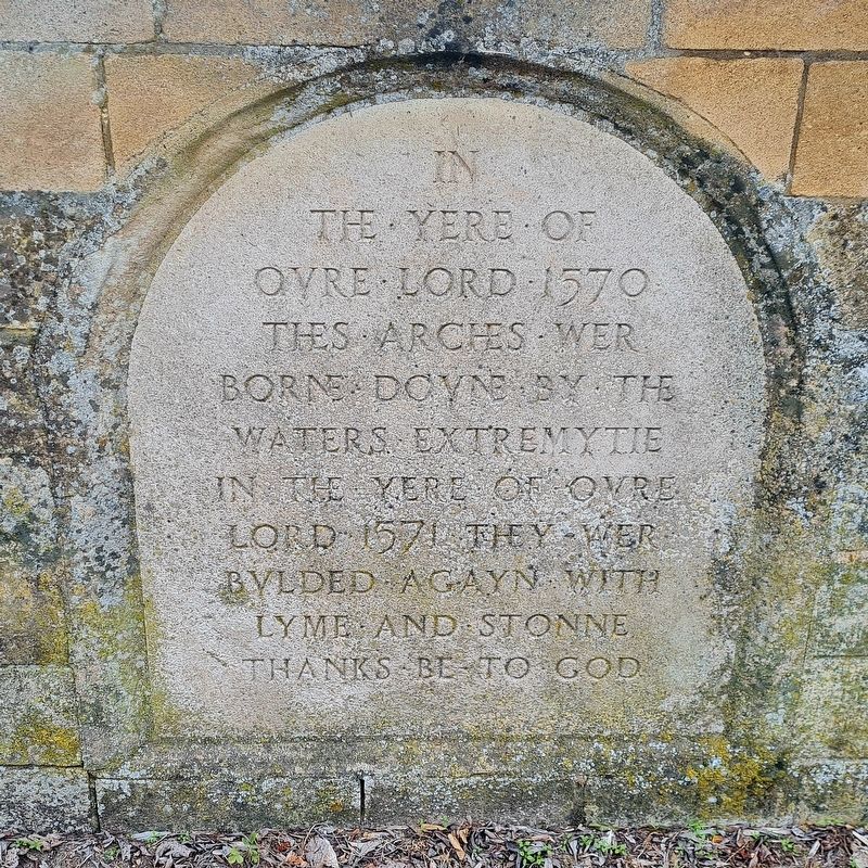
1. Oundle Bridge Marker
In the yere of oure Lord 1571 they wer bulded agayn with lyme and stonne
Thanks be to God
Topics. This historical marker is listed in these topic lists: Bridges & Viaducts • Disasters. A significant historical year for this entry is 1570.
Location. 52° 29.258′ N, 0° 27.847′ W. Marker is in Oundle, England, in Northamptonshire. It is on Station Road, on the right when traveling west. Towards the end of the bridge crossing the River Nene, on the righthand side when entering Oundle. Touch for map. Marker is at or near this postal address: Station Road, Oundle, England PE8 4DE, United Kingdom. Touch for directions.

Regionally, this marker is in the Midlands. Globally, it is on the Atlantic Ocean, in the North Atlantic Region, in Europe, in Atlantic Europe, on one of the British Isles, in the Western World, and in the Anglosphere. Historically, it finds itself in what was once the Roman Empire.
Other nearby markers. At least 6 other markers are within 19 kilometers of this marker, measured as the crow flies: 303rd Bombardment Group (H) "Hells Angels"
this page online
Photographed by Stephen Palmer, June 1, 2024
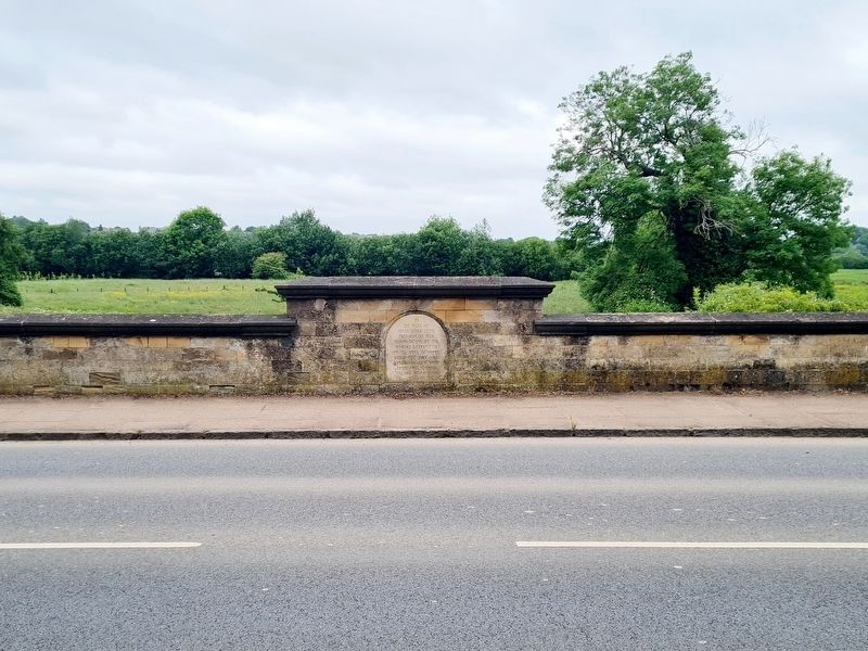
2. Oundle Bridge Marker
Photographed by Stephen Palmer, June 1, 2024
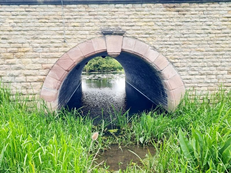
3. The River Nene at Oundle Bridge
Photographed by Stephen Palmer, June 1, 2024
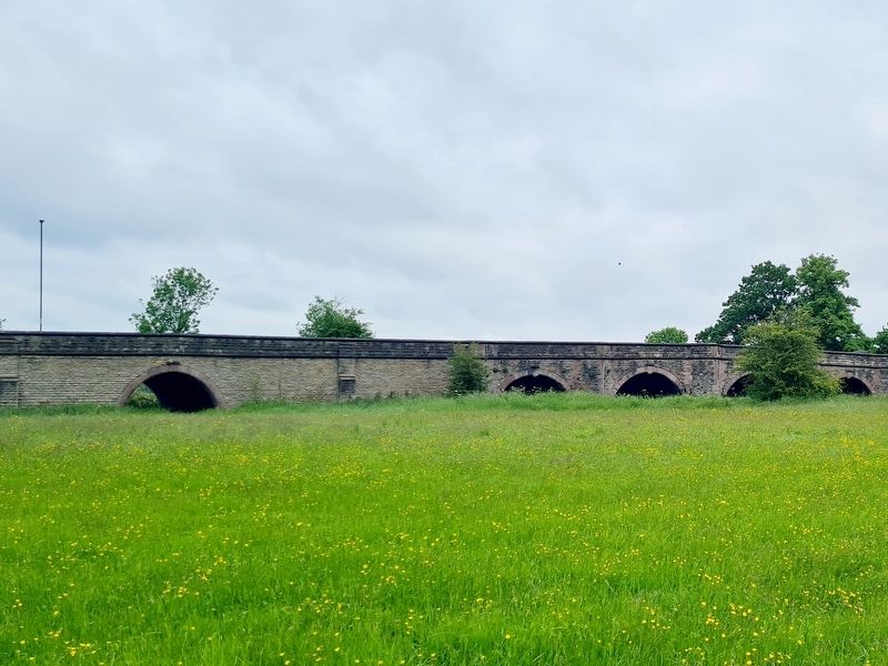
4. Oundle Bridge
Credits. This page was last revised on June 17, 2024. It was originally submitted on June 8, 2024, by Stephen Palmer of Ascot, England. This page has been viewed 134 times since then and 20 times this year. Photos: 1, 2, 3, 4. submitted on June 8, 2024, by Stephen Palmer of Ascot, England. • Andrew Ruppenstein was the editor who published this page.
