Borger in Hutchinson County, Texas — The American South (West South Central)
Isom
Photographed by Allen Lowrey, June 9, 2024
1. Isom Marker
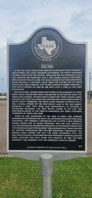
John Weatherly opened Isom’s first store in the basement of their ranch house. Maggie Weatherly was serving as postmaster when the town name changed. The Weatherlys submitted three choices-Agnes and Opal for their two daughters, and Isom for their former home Maury County, Tennessee. The postal name changed to Isom on July 7, 1906. A school opened on the Weatherlys’ land in 1907, and Maggie operated a café. They were also instrumental in securing a telephone exchange. The post office closed in 1919 and the Weatherlys moved to the town of panhandle, but wisely retained ownership of their land here.
When oil was discovered in the area in early 1926, Missouri businessman Ace Borger and John S. Miller bought 240 acres from John Weatherly. They formed a corporation and platted a new townsite named Borger for its major promoter. Isom was also officially platted, bounded by Washington and Maple (later Mcgee) streets and the Panhandle & Santa Fe railroad. The adjoining rival towns vied for oil industry warehouses and related businesses throughout 1926. Borger grew larger and was the more successful city. The Weatherlys did sell lots in Isom and used proceeds to donate land for parks, churches and many other civic projects. By
this page online
Erected 2019 by Texas Historical Commission. (Marker Number 22594.)
Topics. This historical marker is listed in this topic list: Settlements & Settlers.
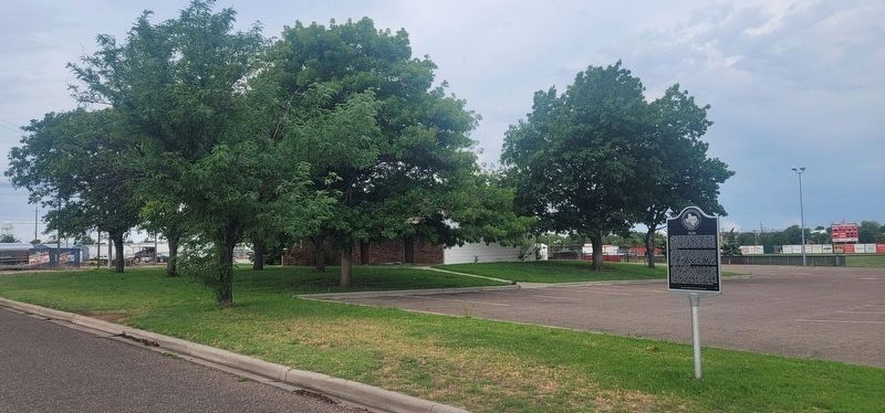
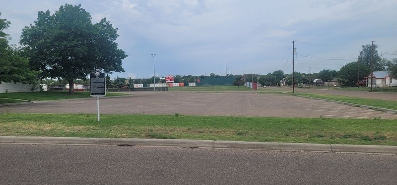
Location. 35° 39.286′ N, 101° 23.662′ W. Marker is in Borger, Texas, in Hutchinson County. It is at the intersection of South McGee Street and Franklin Street, on the left when traveling north on South McGee Street. Touch for map. Marker is at or near this postal address: 1200 S McGee St, Borger TX 79007, United States of America. Touch for directions.

Regionally, this marker is on the Texas Panhandle. It is also on the American Great Plains and specifically on the Southern Plains. Globally, it is in North America, a Gulf of Mexico state, the Western Hemisphere, the Western World, and the Anglosphere. Historically, it finds itself in what was once New Spain, the Comanchería, the Dust Bowl, the Republic of Texas, and one of the Confederate States of America.
Other nearby markers. At least 8 other markers are within 2 miles of this marker,
Photographed by Allen Lowrey, June 9, 2024
2. Isom Marker
Photographed by Allen Lowrey, June 9, 2024
3. Isom Marker
Credits. This page was last revised on June 10, 2024. It was originally submitted on June 9, 2024, by Allen Lowrey of Amarillo, Texas. This page has been viewed 387 times since then and 33 times this year. Photos: 1, 2, 3. submitted on June 9, 2024, by Allen Lowrey of Amarillo, Texas. • James Hulse was the editor who published this page.
