Highland Springs in Henrico County, Virginia — The American South (Mid-Atlantic)
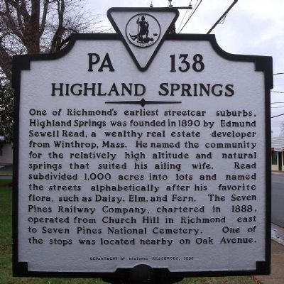
Highland Springs
Erected 1996 by Department of Historic Resources. (Marker Number PA-138.)
Topics and series. This historical marker is listed in these topic lists: Political Subdivisions • Railroads & Streetcars. In addition, it is included in the Virginia Department of Historic Resources (DHR) series list. A significant historical year for this entry is 1890.
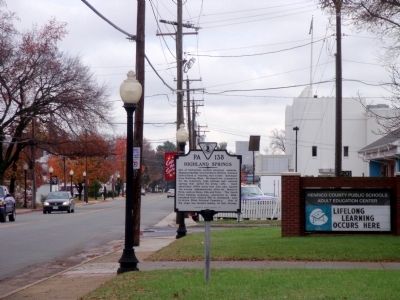
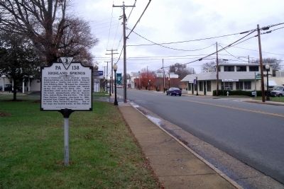
Location. 37° 32.67′ N, 77° 19.576′ W. Marker is in Highland Springs, Virginia, in Henrico County. Marker is at the intersection of East Nine Mile Road (Virginia Route 33) and North Juniper Avenue, on the right when traveling east on East Nine Mile Road. Touch for map. Marker is at or near this postal address: 201 E Nine Mile Rd, Henrico VA 23075, United States of America. Touch for directions.
Other nearby markers. At least 8 other markers are within 2 miles of this marker, measured as the crow flies. Locomotive Club of Richmond (approx. 0.9 miles away); Second Day at Seven Pines (approx. 1.2 miles away); Fair Oaks Station (approx. 1.2 miles away); Battlefield of Seven Pines (approx. 1½ miles away); McClellan’s Picket Line (approx. 1½ miles away); Sandston (approx. 1½ miles away); McClellan’s First Line (approx. 1.6 miles away); a different marker also named Battlefield of Seven Pines (approx. 1.6 miles away).
Also see . . .
1. The history of Highland Springs. The Springer Connection (Submitted on November 26, 2009.)
2. You've Missed the Last Trolley: Just Waiting for a Street Car?. Richmond Times-Dispatch, November 27, 1949. Richmond Then and Now. (Submitted on November 26, 2009.)
Credits. This page was last revised on November 5, 2021. It was originally submitted on November 26, 2009, by Bernard Fisher of Richmond, Virginia. This page has been viewed 767 times since then and 15 times this year. Photos: 1, 2, 3. submitted on November 26, 2009, by Bernard Fisher of Richmond, Virginia.


