Ayr in Waterloo Region, Ontario — Central Canada (North America)
Watson’s Dam
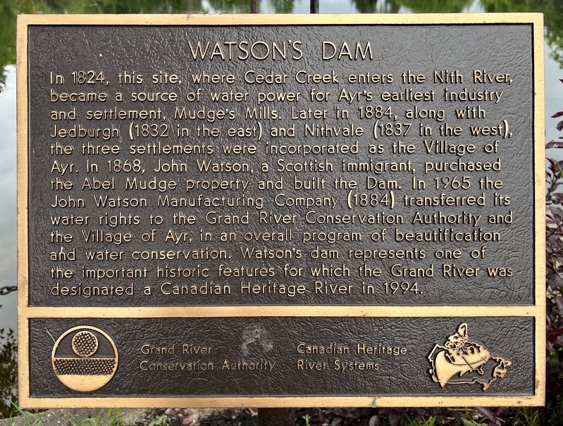
Photographed by Tim Boyd, June 11, 2024
1. Watson’s Dam Marker
Erected by Grand River Conservation Authority.
Topics. This historical marker is listed in these topic lists: Industry & Commerce • Settlements & Settlers. A significant historical year for this entry is 1868.
Location. 43° 17.159′ N, 80° 27.063′ W. Marker is in Ayr, Ontario, in Waterloo Region. It is on Northumberland Street 0.1 kilometers north of Stanely Street, on the right
this page online

Regionally, this marker is in the Huron-Perth-Waterloo-Wellington Area and in Southwestern Ontario. It is also in Central Canada. Globally, it is in North America, the Western Hemisphere, the Western World, and the Anglosphere. Historically, it finds itself in what was once a British colony, the Viceroyalty of New France, the Haudenosaunee (Iroquois) Confederacy, and Rupert’s Land.
Other nearby markers. At least 8 other markers are within 11 kilometers of this marker, measured as the crow flies: The John Watson Manufacturing Company (about 90 meters away, measured in a direct line); The Goldie Family and the Village of Greenfield / La Famille Goldie au Village de Greenfield (approx. 2.5 kilometers away); Detweiler Meetinghouse (approx. 6.7 kilometers away); Wolverton Hall (approx. 6.8 kilometers away); Paris Plains Church (approx. 7.8 kilometers away); William J. Wintemberg 1876-1941 (approx. 9.5 kilometers away); New Dundee Women’s Institute (approx. 9.6 kilometers
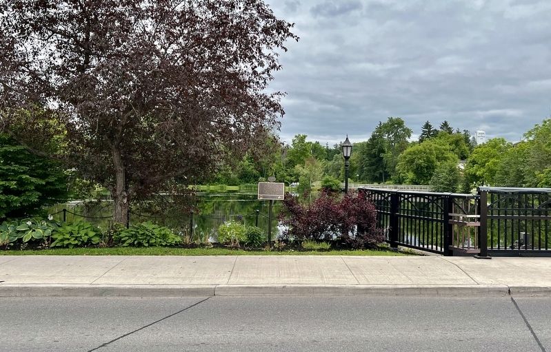
Photographed by Tim Boyd, November 6, 2024
2. Watson’s Dam Marker
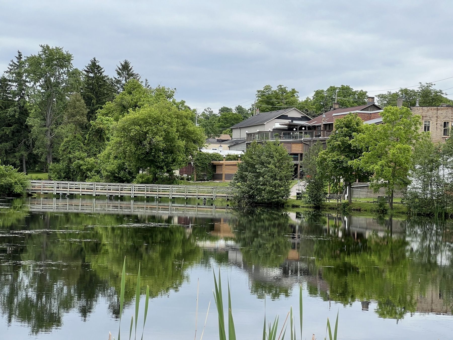
Photographed by Tim Boyd, November 6, 2024
3. Watson’s Pond, from the dam
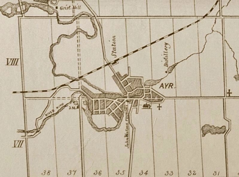
1881
4. Village of Ayr, 1881
From the Historical Atlas of Waterloo and Wellington counties
Credits. This page was last revised on June 15, 2024. It was originally submitted on June 12, 2024, by Tim Boyd of Hamilton, Ontario. This page has been viewed 360 times since then and 36 times this year. Photos: 1, 2, 3, 4. submitted on June 12, 2024, by Tim Boyd of Hamilton, Ontario. • Andrew Ruppenstein was the editor who published this page.
