
North Dumfries in Ayr in Waterloo Region, Ontario — Central Canada (North America)
The Goldie Family and the Village of Greenfield
⎯⎯⎯
La Famille Goldie au Village de Greenfield
Photographed by Tim Boyd, June 11, 2024
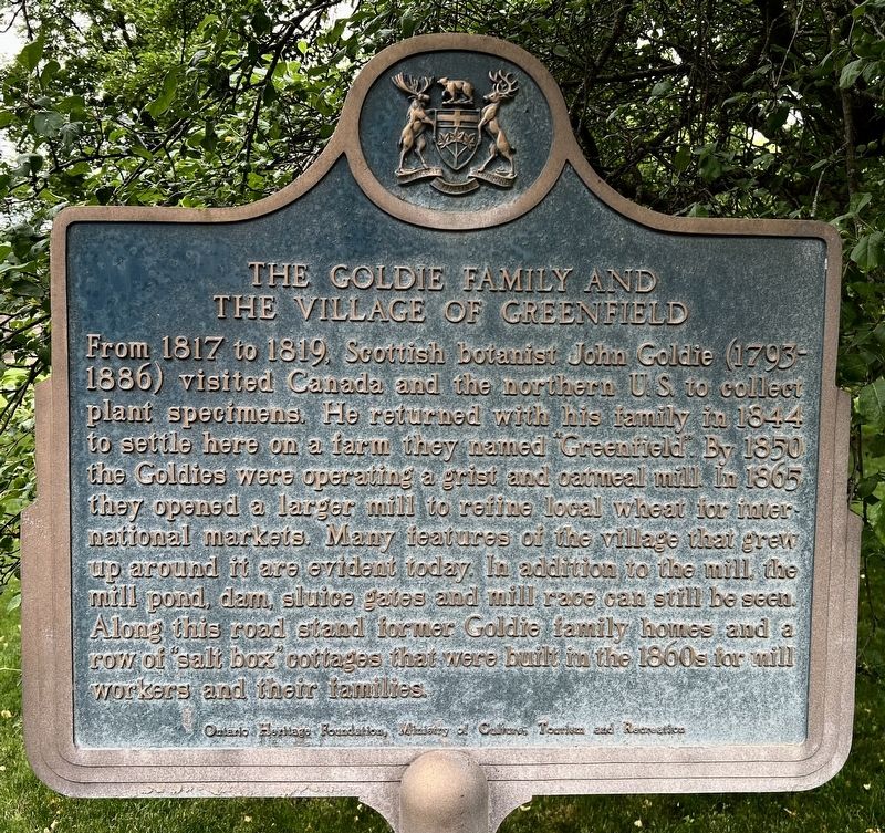
1. The Goldie Family and the Village of Greenfield Marker

From 1817 to 1819, Scottish botanist John Goldie (1793-1886) visited Canada and the northern US to collect plant specimens. He returned with his family in 1844 to settle here on a farm they named Greenfield. By 1850 the Goldies were operating a grist and oatmeal mill. In 1865 they opened a larger mill to refine local wheat for international markets. Many features of the village that grew up around it are evident today. In addition to the mill, the mill pond, dam, sluice gates and mill race can still be seen. Along this road stand former Goldie family homes and a row of salt box cottages that were built in the 1860s for mill workers and their families.
Ontario Heritage Foundation
Ministry of Cultire, Tourism and Recreation.
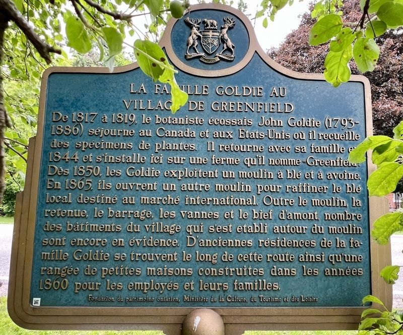
De 1817 à 1819, le botaniste écossais John Goldie 1793-1886) séjourne au Canada et aux États-Unis où il recueille des spécimens de plantes. Il retourne avec sa famille en 1844 et s'installe ici sur une ferme qu'il nomme Greenfield. Des 1850, les Goldie exploitent un moulin à blé et à avoine. En
this page online
Fondation du patrimoine ontarien, Ministère de la Culture, du Tourism et des Loisirs
Erected by Ontario Heritage Foundation.
Topics and series. This historical marker is listed in these topic lists: Industry & Commerce • Settlements & Settlers. In addition, it is included in the Canada, Ontario Heritage Trust series list. A significant historical year for this entry is 1844.
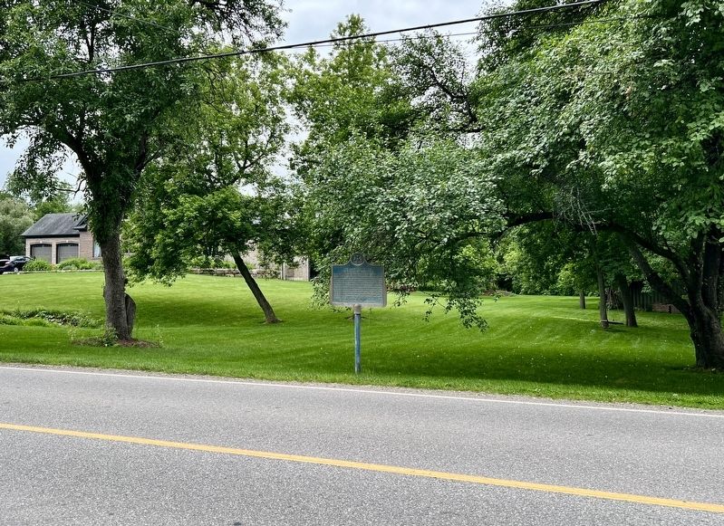
Location. 43° 17.987′ N, 80° 28.521′ W. Marker is in Ayr, Ontario, in Waterloo Region. It is in North Dumfries. It is on Greenfield Road 0.7 kilometers west of Northumberland Street, on the left when traveling west. Touch for map. Marker is at or near this postal address: 3144 Greenfield Rd, Ayr ON N0B 1E0, Canada.
Photographed by Tim Boyd, June 11, 2024
2. La Famille Goldie au Village de Greenfield Marker

Regionally, this marker is in the Huron-Perth-Waterloo-Wellington Area and in Southwestern Ontario. It is also in Central Canada. Globally, it is in North America, the Western Hemisphere, the Western World, and the Anglosphere. Historically, it finds itself in what was once a British colony, the Viceroyalty of New France, the Haudenosaunee (Iroquois) Confederacy, and Rupert’s Land.
Other nearby markers. At least 8 other markers are within 11 kilometers of this marker, measured as the crow flies: Watson’s Dam (approx. 2.5 kilometers away); The John Watson Manufacturing Company (approx. 2.6 kilometers away); Detweiler Meetinghouse (approx. 4.5 kilometers away); Wolverton Hall (approx. 6.2 kilometers away); William J. Wintemberg 1876-1941 (approx. 7.1 kilometers away); New Dundee Women’s Institute (approx. 7.1 kilometers away); The Founding of New Dundee (approx. 7.6 kilometers away); Paris Plains Church (approx. 10.3 kilometers away). Touch for a list and map of all markers in Ayr.
Photographed by Tim Boyd, June 11, 2024
3. The Goldie Family and the Village of Greenfield / La Famille Goldie au Village de Greenfield Marker
1881
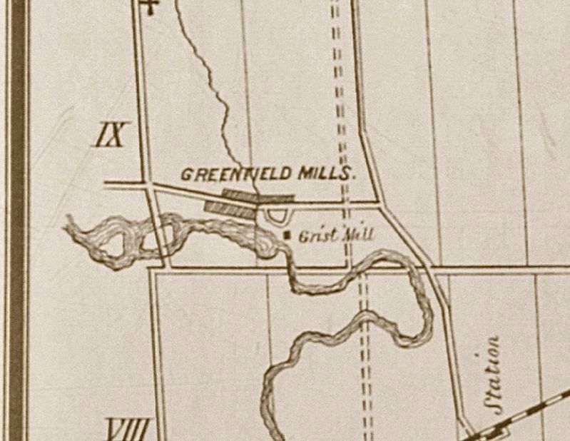
4. Greenfield Mills in 1881
From the historical Atlas of Waterloo County
Credits. This page was last revised on June 15, 2024. It was originally submitted on June 13, 2024, by Tim Boyd of Hamilton, Ontario. This page has been viewed 520 times since then and 86 times this year. Photos: 1, 2, 3, 4. submitted on June 13, 2024, by Tim Boyd of Hamilton, Ontario. • Andrew Ruppenstein was the editor who published this page.
