Angeles National Forest in Los Angeles County, California — The American West (Pacific Coastal)
Circular Bridge
Mount Lowe Railway
| — | 1893 - 1936 | — |
Photographed by Craig Baker
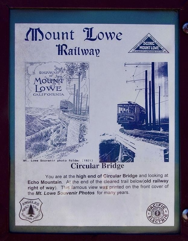
1. Circular Bridge Marker
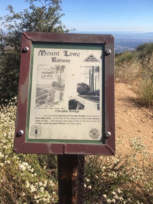
You are at the high end of Circular Bridge and looking at Echo Mountain. At the end of the cleared trail below (old railway right of way). This famous view was printed on the front cover of the 'Mt. Lowe Souvenir Photos' for many years.
Topics. This historical marker is listed in this topic list: Railroads & Streetcars. A significant historical year for this entry is 1893.
Location. 34° 13.253′ N, 118° 7.522′ W. Marker is in Angeles National Forest, California, in Los Angeles County. It can be reached from Mount Lowe Railroad Trail. It’s a strenuous 4½ mile hike with an altitude gain of 2,000 feet from Cobb Estate trailhead. Touch for map. Marker is in this post office area: Altadena CA 91001, United States of America. Touch for directions.

Regionally, this marker is in Greater Los Angeles and in the Transverse Ranges. It is also on the American Pacific Coast. Globally, it is in North America, on the Ring of Fire, on the Pacific Rim, in the Western Hemisphere, in the Western World, and in the Anglosphere. Historically, it finds itself in what was once New Spain and also Mexico’s Alta California.
Other nearby markers. At
this page online
Regarding Circular Bridge. On January 6, 1993, the Mount Lowe Railway was listed on the National Register of Historic Places.
Photographed by Craig Baker
2. Circular Bridge Marker
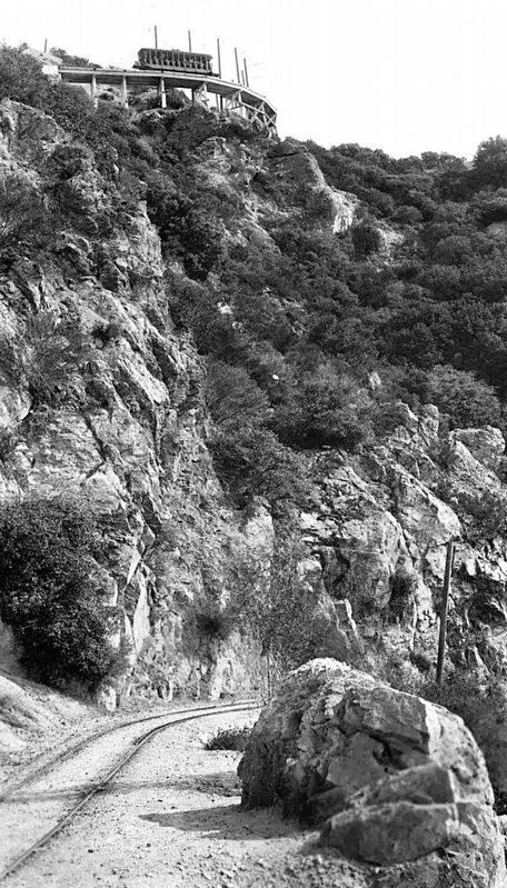
3. Circular Bridge - Viewed from below
courtesy Detroit Publishing Co.
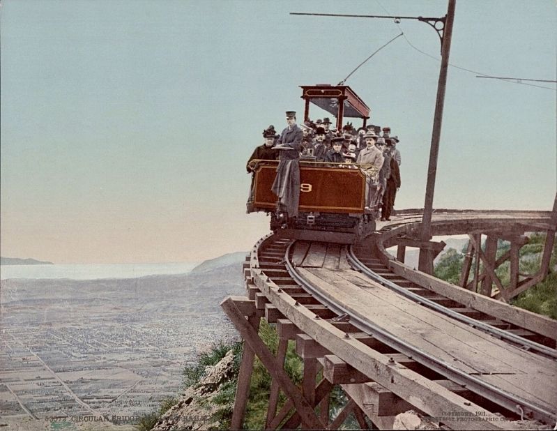
4. Circular Bridge Postcard
Credits. This page was last revised on January 16, 2025. It was originally submitted on June 14, 2024, by Craig Baker of Sylmar, California. This page has been viewed 437 times since then and 33 times this year. Photos: 1, 2, 3, 4. submitted on June 14, 2024, by Craig Baker of Sylmar, California.
